How to 3D Print your own Cityscapes and Terrains (FREE Method)
Summary
TLDRIn this video, Lucas 3D Studio demonstrates how to 3D print detailed terrain and cityscape models, including an example of Heidelberg. The tutorial covers using online tools to generate terrain maps from satellite data, creating custom cityscapes using Blender GIS, and fixing common 3D model issues in Fusion 360. The guide is beginner-friendly, offering simple steps like selecting elevation data, importing to slicers, and troubleshooting with mesh repair tools. Additionally, Lucas provides tips for customizing and painting your models, making it a comprehensive guide for creating 3D printed geographical and urban maps.
Takeaways
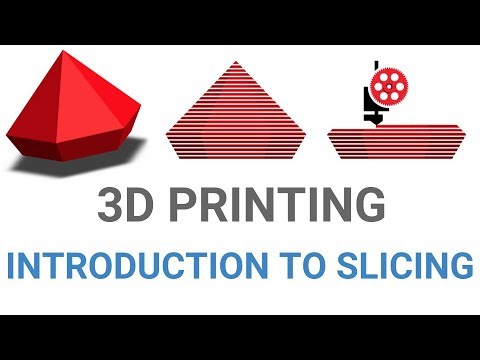
- 😀 The easiest way to generate a terrain model for 3D printing is using an online tool that requires minimal post-processing.
- 🌍 You can search for any location by name or coordinates, such as a mountain or city, to generate a 3D model of the terrain.
- 🔧 To generate high-quality terrain models, select the best resolution for the elevation data and adjust the vertical exaggeration as desired.
- 💻 If there are errors with the model, use Fusion 360 on a PC to repair it. Mac users will need additional steps for model fixing.
- ⚙️ For the cleanest 3D print results, it’s recommended to print the terrain model on its side to avoid the stepped look from individual layers.
- 📦 You can create a base for your terrain model in Fusion 360 by extruding a rectangle and adding wall thickness for stability during printing.
- 🎨 After printing, models can be painted using acrylic paints or through multicolor printing options to enhance the appearance.
- 🗺️ An alternative to 3D modeling software is to use a quick website for generating cityscapes based on location coordinates with minimal effort.
- 🏙️ Cityscapes generated from the website are often simplified, but the process is fast and doesn’t require advanced 3D modeling skills.
- 🛠️ For more custom cityscapes, you can use Blender with the Blender GIS plugin to import geographic data and manipulate elements like roads and terrain height.
- ⚠️ When creating complex models, it’s important to clean up unnecessary parts of the map and fix any errors in the geometry before exporting the model.
Q & A
What is the easiest way to generate a terrain model for 3D printing?
-The easiest way to generate a terrain model is by using an online tool where you can simply type in the place, adjust the settings for elevation data, and download the generated model. The process takes only 5 to 10 minutes.
How can you fix errors in your terrain model after generating it?
-If an error appears, you can repair it by right-clicking on the model in your slicer and selecting 'Repair' if you're using a PC. If you're using a Mac, you'll need to use Fusion 360 to fix the model.
What software can be used to fix models if an error occurs in the slicer?
-If you're on a Mac or encounter issues, you can use Fusion 360 to repair your model by selecting the 'Stitch and Repair' option in the software.
Why is it recommended to print the terrain model on its side?
-It is recommended to print the terrain model on its side to achieve cleaner results. Printing it flat may result in a stepped terrain look, where individual layers are visible.
What steps are involved in creating a base for the terrain model in Fusion 360?
-In Fusion 360, you create a base by first sketching a rectangle based on the dimensions of your model, then extruding the base and adding a wall thickness of about 5mm. The final step is saving the base and merging it with the terrain model.
How can you add color to the terrain model?
-You can add color to the terrain model by using acrylic paint or the paint tool if you have access to multicolor 3D printing. This adds a finishing touch to the model.
What is a quick and easy way to create a cityscape for 3D printing?
-A quick method to create a cityscape is to use a website where you can enter the location, adjust the size and scale, and download the generated model. This method takes no longer than 5 minutes.
How can you customize a cityscape more thoroughly than using the quick method?
-For more customization, you can use 3D modeling software like Blender. This allows you to adjust the height of roads, add terrain, and customize pathways, giving you more flexibility.
What is Blender GIS, and how does it help in creating 3D cityscapes?
-Blender GIS is a plugin for Blender that allows you to import geographical data such as maps and elevation. You can use it to create detailed cityscapes by importing web geo-data, extracting elevation, and manipulating the terrain and roads.
What should you do if your 3D model has errors in the slicer after exporting from Blender?
-If there are errors in the slicer, you may need to repair the model in Fusion 360 using the 'WP' option or other available repair tools to fix the model before printing.
Outlines

此内容仅限付费用户访问。 请升级后访问。
立即升级Mindmap

此内容仅限付费用户访问。 请升级后访问。
立即升级Keywords

此内容仅限付费用户访问。 请升级后访问。
立即升级Highlights

此内容仅限付费用户访问。 请升级后访问。
立即升级Transcripts

此内容仅限付费用户访问。 请升级后访问。
立即升级


5.0 / 5 (0 votes)
