Sistem Informasi Geografi (Pengertian, Komponen, Data, Tahapan, Manfaat)
Summary
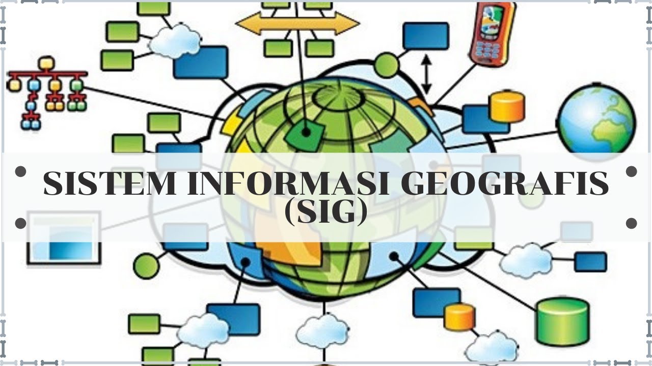
TLDRThe video from Geographic Channel introduces Geographic Information Systems (GIS), comparing traditional and modern map-making techniques. It highlights the transition from manual exploration and hand-drawn maps to the use of satellite data and computer processing. The video explains GIS as a system combining geographic data with technology, enabling the creation of various types of maps, like geological and topographical. It outlines the key components of GIS: hardware, software, data, and human resources. The video also details different types of geographic data (spatial and attribute), the data collection process, and its application across fields like disaster planning, resource management, and transportation.
Takeaways
- 🌍 Geographic information systems (GIS) involve the use of satellite data and computer processing, replacing old methods like manual map drawing.
- 🛰 Modern map creation leverages satellite data and digital processing rather than manual exploration.
- 💻 GIS is a system for managing geographic data using components like hardware, software, and human resources (brainware).
- 🗺 Google Maps data can be processed to create different types of maps, such as geological and topographic maps.
- 🖥 GIS components include hardware (input, processing, and output devices like digitizers, CPUs, and printers), software, and data sources.
- 📊 GIS data can come from various sources, such as field data, maps, and remote sensing imagery (e.g., aerial photos).
- 📌 GIS spatial data shows location information, while attribute data explains details about spatial features.
- 🔍 GIS spatial data is divided into raster (grid-based, pixelated) and vector (point, line, and polygon) formats.
- 🔄 The GIS process involves data input, processing (analysis and manipulation), and output in formats like printed maps or digital reports.
- 🛠 GIS is useful in fields like disaster management, urban planning, natural resource management, and transportation.
Q & A
What methods did ancient people use to create maps?
-Ancient people created maps manually by traveling or exploring the land and then drawing maps by hand.
How has modern map-making evolved compared to ancient times?
-Modern map-making no longer requires manual exploration and drawing. Instead, it utilizes satellite data and computer software to generate maps.
What is a Geographic Information System (GIS)?
-A Geographic Information System (GIS) is a system that collects, processes, and manages geographical data using various components like hardware, software, and human resources to analyze spatial data.
How are maps from Google Maps used to create other types of maps?
-Maps from Google Maps can be processed and used to create other specialized maps, such as geological or topographical maps, by applying different layers of information and analysis.
What are the main components of a GIS system?
-The main components of a GIS system are hardware, software, data, and human resources (brainware). These components work together to input, process, and output geographical information.
What hardware is typically used in a GIS system?
-Typical hardware in a GIS system includes input devices (e.g., scanners, digitizers), processing devices (e.g., CPU, hard disk), and output devices (e.g., printers, monitors) for displaying and analyzing geographical data.
What types of software are used in GIS?
-GIS software includes specialized applications like ArcView, MapInfo, and ERDAS that help in managing, processing, and analyzing geographical data.
What is the role of human resources (brainware) in GIS?
-Human resources or brainware in GIS refers to the knowledge and skills of individuals who manage and utilize the GIS system effectively, including data collection, analysis, and map creation.
What are the types of data used in GIS?
-GIS uses various types of data including field data (collected through direct measurement), map data, and remote sensing data (collected through satellite imagery or aerial photography).
What is the difference between spatial data and attribute data in GIS?
-Spatial data refers to the physical location or layout of objects on Earth, while attribute data provides descriptive information about those objects, such as names, population numbers, or land area.
Outlines

This section is available to paid users only. Please upgrade to access this part.
Upgrade NowMindmap

This section is available to paid users only. Please upgrade to access this part.
Upgrade NowKeywords

This section is available to paid users only. Please upgrade to access this part.
Upgrade NowHighlights

This section is available to paid users only. Please upgrade to access this part.
Upgrade NowTranscripts

This section is available to paid users only. Please upgrade to access this part.
Upgrade Now


5.0 / 5 (0 votes)