Jenis Data Pada Sistem Informasi Geografis
Summary
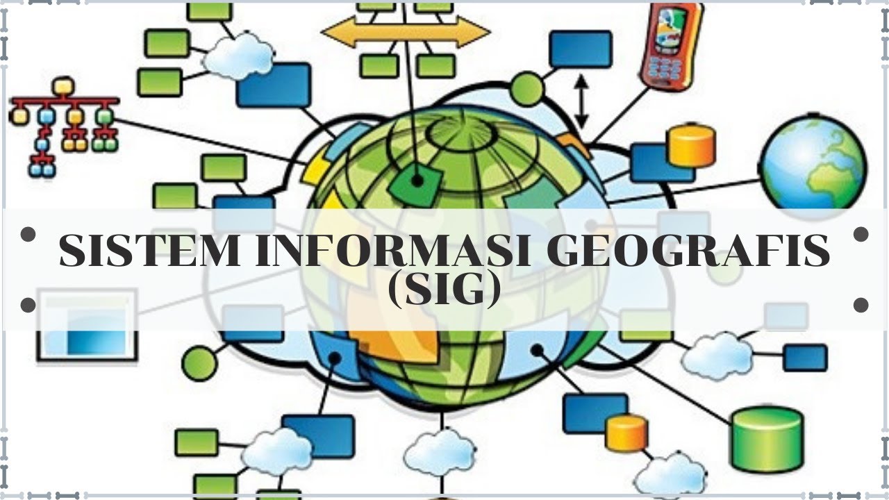
TLDRThis educational video discusses data types in Geographic Information Systems (GIS), focusing on spatial data and attribute data. It highlights the differences between vector and raster data, detailing their respective strengths and weaknesses. Vector data represents the Earth's features through points, lines, and polygons, while raster data consists of pixels representing images or scanned data. The video further explores how these data types relate to geographic coordinates, their applications, and the importance of resolution in raster images. Finally, it emphasizes the concept of layers in GIS, which organize various thematic data for comprehensive analysis.
Takeaways
- 😀 Embrace curiosity as a catalyst for personal growth and innovation.
- 😀 Utilize effective questioning to stimulate critical thinking and problem-solving.
- 😀 Foster a culture of continuous learning to adapt to changing environments.
- 😀 Leverage diverse perspectives to enhance creativity and decision-making.
- 😀 Recognize the importance of resilience in overcoming challenges and setbacks.
- 😀 Implement strategies for effective collaboration to achieve common goals.
- 😀 Acknowledge the role of emotional intelligence in building strong relationships.
- 😀 Encourage risk-taking and experimentation to drive innovation.
- 😀 Value feedback as a tool for improvement and development.
- 😀 Promote mindfulness and self-awareness for better focus and clarity in decision-making.
Q & A
What are the two main types of data in Geographic Information Systems (GIS)?
-The two main types of data in GIS are spatial data and attribute data. Spatial data describes geographic locations and features, while attribute data provides descriptive information about those locations.
How does spatial data differ from attribute data?
-Spatial data consists of geographic coordinates and features representing real-world locations, whereas attribute data is textual information that describes the characteristics or details of those spatial features.
What are the two subtypes of spatial data discussed in the video?
-The two subtypes of spatial data are vector data and raster data. Vector data uses points, lines, and polygons to represent geographic features, while raster data represents information in the form of pixels.
Can you provide examples of vector data?
-Examples of vector data include points that represent specific locations (e.g., hospitals), lines that depict paths or routes (e.g., roads), and polygons that illustrate areas (e.g., city boundaries).
What is raster data and how is it typically obtained?
-Raster data consists of pixel-based images that represent geographic information, often obtained through remote sensing technologies or scanning processes.
What are the advantages of using vector data?
-Vector data offers high accuracy in representing discrete features and is easier to manipulate for specific data points, making it ideal for precise geographic representations.
What are the disadvantages of raster data?
-Raster data has lower precision compared to vector data, requires substantial storage space for high-resolution images, and necessitates complete re-analysis when updating data.
Why is the concept of layers important in GIS?
-The concept of layers is crucial in GIS as it allows for the separation of different thematic data, enabling detailed analysis of geographic phenomena while maintaining the relationship between various data sets.
What kind of changes does raster data effectively represent?
-Raster data effectively represents gradual changes in landscapes, such as variations in elevation or land cover, as it can display smooth transitions through pixel color gradients.
When should one choose vector data over raster data?
-Vector data should be chosen when high accuracy is needed for discrete features, such as property boundaries or infrastructure, while raster data is better suited for representing continuous data with gradual changes.
Outlines

Cette section est réservée aux utilisateurs payants. Améliorez votre compte pour accéder à cette section.
Améliorer maintenantMindmap

Cette section est réservée aux utilisateurs payants. Améliorez votre compte pour accéder à cette section.
Améliorer maintenantKeywords

Cette section est réservée aux utilisateurs payants. Améliorez votre compte pour accéder à cette section.
Améliorer maintenantHighlights

Cette section est réservée aux utilisateurs payants. Améliorez votre compte pour accéder à cette section.
Améliorer maintenantTranscripts

Cette section est réservée aux utilisateurs payants. Améliorez votre compte pour accéder à cette section.
Améliorer maintenantVoir Plus de Vidéos Connexes


5.0 / 5 (0 votes)
