Tutorial menggunakan GPS Garmin 78s
Summary
TLDRIn this instructional video, Mamad provides a step-by-step guide on using the Garmin GPS Map 78s for fieldwork and research. The tutorial covers how to turn on the device, check satellite accuracy, create and enter new coordinate points, and delete saved points. Emphasizing accuracy and ease of use, Mamad demonstrates how to navigate the GPS to ensure reliable data collection. Whether you’re new to the device or looking to refine your skills, this video offers practical advice for working with Garmin GPS technology in the field.
Takeaways
- 😀 Press and hold the red power button on the Garmin GPSMAP 78s to turn it on.
- 😀 To check satellite accuracy, go to 'Menu' twice, select 'Satellite', and view the accuracy level at the top right corner of the screen.
- 😀 A smaller number (e.g., 5 meters) indicates higher GPS accuracy, while a larger number (e.g., 30 meters) shows lower accuracy.
- 😀 Wait for GPS accuracy to stabilize to 5 meters or better for optimal results.
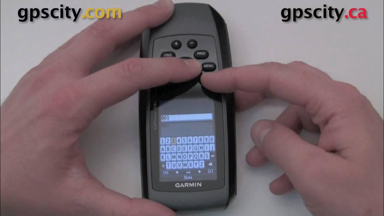
- 😀 To create a new coordinate point, press and hold the 'Mark' button, then name and save the point in the Waypoint Manager.
- 😀 You can name the new point (e.g., 'B17') and access it from the Waypoint Manager once saved.
- 😀 To enter coordinates from another source, press and hold 'Mark', change the point name, and manually enter the coordinates.
- 😀 Example coordinate input format: 'S02 21.22' and 'E48 04.50' for accuracy in location.
- 😀 Once entered, the new coordinates will be saved and can be accessed as a saved point.
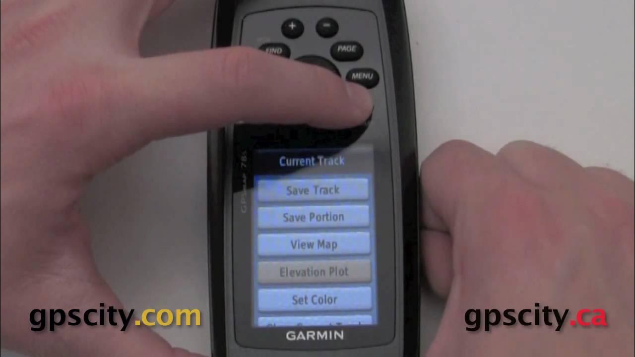
- 😀 To delete a saved coordinate point, select the point in the Waypoint Manager, press 'Menu', and choose 'Delete.'
- 😀 Confirm the deletion by pressing 'Yes,' and the point will be removed from the device.
Q & A
How do you turn on the Garmin GPS Map 78s?
-To turn on the Garmin GPS Map 78s, press and hold the red power button on the left side of the device until it powers on.
How can you check the accuracy of the GPS on the Garmin Map 78s?
-To check the accuracy of the GPS, press the menu button twice, then scroll down and select 'Satellite.' The accuracy is displayed as a GPS number, where smaller numbers indicate higher accuracy.
What is the desired accuracy level when using the Garmin Map 78s?
-The accuracy should ideally be between 1 meter and 5 meters. If the GPS accuracy level is greater than 30 meters, it's advisable to wait until it improves.
How do you create a new coordinate point on the Garmin GPS Map 78s?
-To create a new coordinate point, press and hold the 'Mark' button to enter the waypoint manager, and then select 'Enter' to create a new point with a custom name, such as B17.
What do you do if you want to enter a coordinate point from another source into the Garmin GPS?
-To enter a coordinate point from another source, press and hold the 'Mark' button, then change the waypoint name and enter the coordinates manually by selecting 'Enter' after modifying the values.
How do you input new coordinates on the Garmin Map 78s?
-After selecting a new waypoint, you can input coordinates by pressing 'Enter,' changing the coordinates, and then pressing 'Enter' again to save the new point.
What happens when you select a location point on the Garmin GPS?
-Once you select a location point on the Garmin GPS, you can navigate to that point, and it will direct you to the coordinates of that specific location.
How can you delete a saved coordinate point on the Garmin GPS Map 78s?
-To delete a saved coordinate point, select the waypoint, press the 'Menu' button, and then choose 'Delete.' Confirm the deletion to remove the point.
What is the purpose of the 'Waypoint Manager' on the Garmin GPS Map 78s?
-The Waypoint Manager is used to manage, create, and modify saved waypoints, allowing you to add new points, input coordinates, and delete points as necessary.
What should you do if the GPS accuracy is poor (greater than 30 meters)?
-If the GPS accuracy is greater than 30 meters, it's recommended to wait until the accuracy improves, ideally to 5 meters or less, before proceeding with further tasks.
Outlines

此内容仅限付费用户访问。 请升级后访问。
立即升级Mindmap

此内容仅限付费用户访问。 请升级后访问。
立即升级Keywords

此内容仅限付费用户访问。 请升级后访问。
立即升级Highlights

此内容仅限付费用户访问。 请升级后访问。
立即升级Transcripts

此内容仅限付费用户访问。 请升级后访问。
立即升级浏览更多相关视频
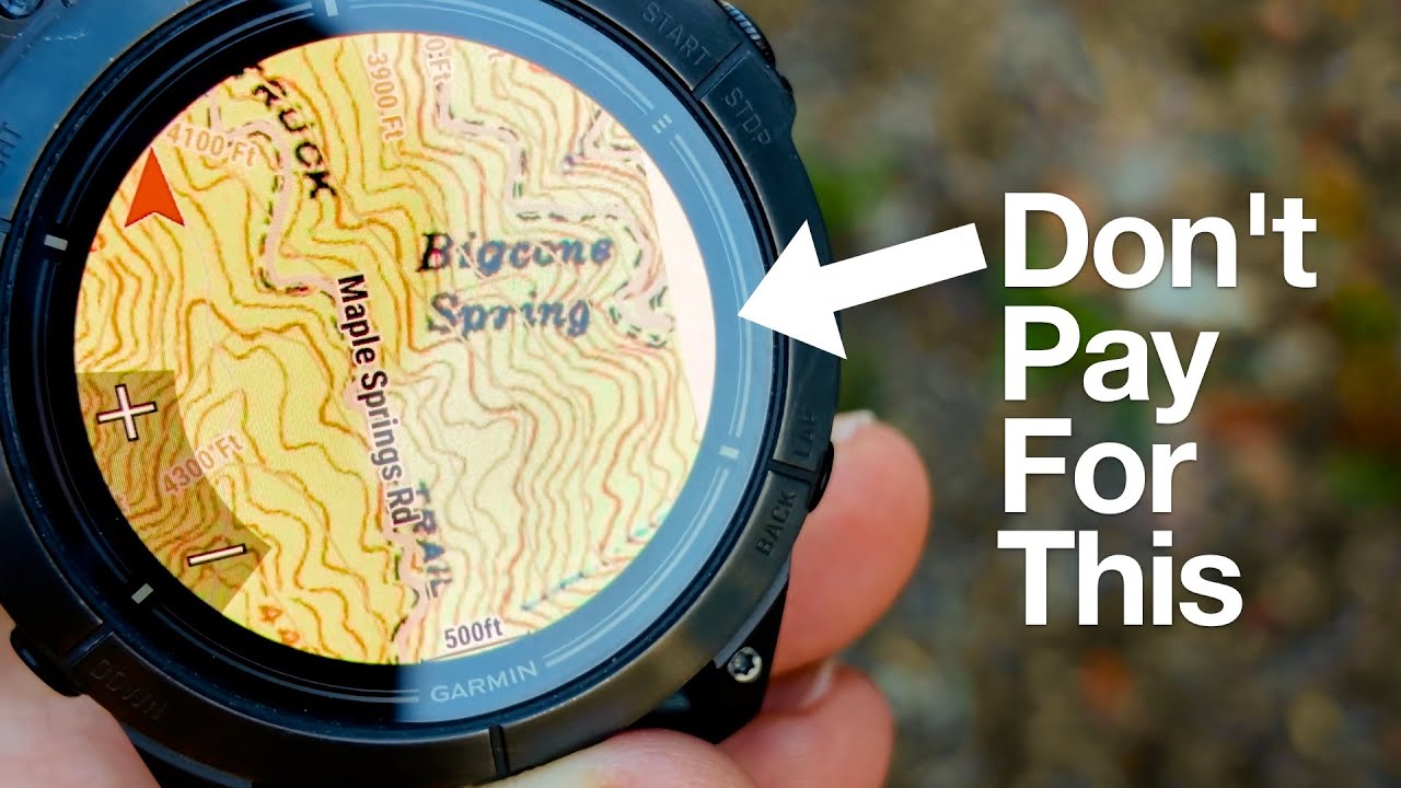
Garmin Maps+ Free Alternative (Garmin Custom Maps)
Mark a waypoint on the GPSMap 78S series @ GPSCity
Playing with Tracks in the Garmin GPSMap 78 series @ GPSCity
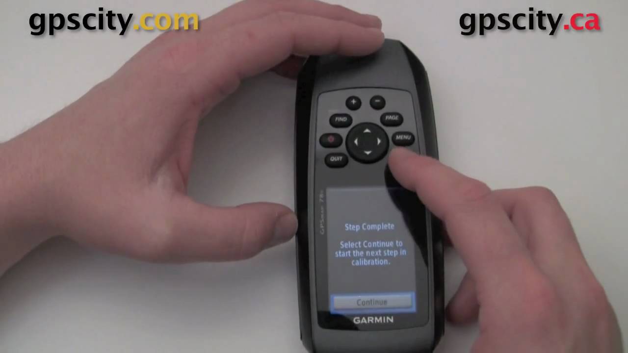
Calibrate the compass in your new Garmin GPSMap 78 series marine gps @ GPSCity

Pembuatan Peta Administrasi Kabupaten Sidoarjo dengan QGIS | UAP MSDL Shif A
Cara Pengukuran Detail Situasi dengan Alat Total Station Topcon GM-55
5.0 / 5 (0 votes)
