Cara Pengukuran Detail Situasi dengan Alat Total Station Topcon GM-55
Summary
TLDRThis video guide provides a step-by-step tutorial on how to conduct field measurements using a total station. It covers essential equipment such as the total station, prism, tripod, and compass, and details the setup process to ensure precise measurements. The video walks through key procedures, including leveling instruments, entering coordinates, performing backsight measurements, and recording data. It concludes with tips on organizing equipment post-practice. The guide is an essential resource for those involved in surveying and land measurement, ensuring users can execute accurate and efficient fieldwork.
Takeaways
- 😀 Total Station is used for land measurement to determine elevation using horizontal and vertical angles.
- 😀 Prisma reflects points generated by the Total Station, while the tripod supports both the Total Station and Prisma.
- 😀 A compass is essential for determining the north direction, and communication tools like a 'hate' aid in communication during measurements.
- 😀 Personal protective equipment (PPE) like vests, gloves, and boots are necessary for safety during fieldwork.
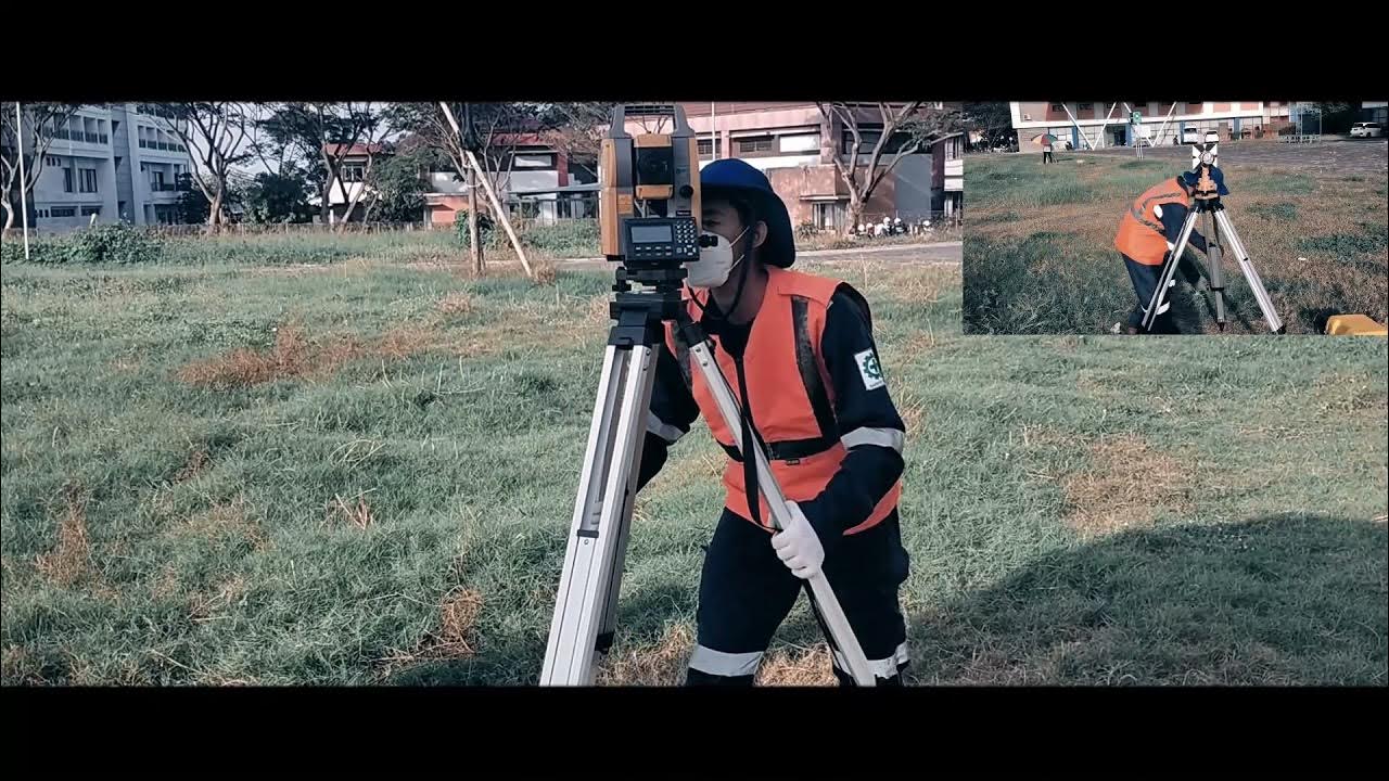
- 😀 The Total Station should be set up at chest height on a tripod, with proper alignment of the Nivo box and Centerpoint.
- 😀 Accurate height measurement of the Total Station and Prisma is critical, and should be done using a meter.
- 😀 The Total Station is powered on with a green button, and adjustments to the X and Y values are made using screws.
- 😀 The compass is used to align the Total Station to the north, and the horizontal lock is applied for stability.
- 😀 Data is inputted for the equipment's coordinates, including a height of 1.98 meters for the Total Station.
- 😀 When collecting data, detail points like buildings or roads are recorded using the F1, F2, and F3 buttons, and the back sight method is employed for precision.
- 😀 After finishing the measurements, the Total Station is powered off, and all tools should be properly packed and stored.
Q & A
What is the primary purpose of the field practice described in the video?
-The primary purpose of the field practice is to measure and detail the situation on-site, particularly using tools like the total station for land measurement.
What are the functions of the total station in the field practice?
-The total station is used to measure land elevations by determining horizontal and vertical angles, and it helps in creating detailed measurements of the terrain.
How is the prism used during the practice?
-The prism reflects the points generated by the total station, assisting in accurate data collection.
What is the function of the tripod in the field setup?
-The tripod serves as the support structure for the total station and prism, ensuring they remain stable and accurately positioned.
Why is a compass used in this practice?
-The compass is used to determine the primary direction, especially the north, ensuring the total station is properly oriented.
What safety equipment is mentioned in the script and why is it necessary?
-The script mentions using protective gear such as vests, gloves, hats, and shoes to protect against hazards like pesticides and environmental dangers during the practice.
How do you prepare the total station for use in the field?
-The total station is placed on the tripod and adjusted so that the Nivo box and Centerpoint are centered. The height of the total station is also measured before starting the practice.
What steps are involved in aligning the total station and adjusting its settings?
-The total station is first leveled using the Nivo box and Centerpoint, then the X and Y values are adjusted to get as close to zero as possible. After this, the device is set to the north direction and further calibration is performed.
How do you record and manage data during the practice?
-Data is recorded by entering coordinates, elevation, and other relevant details through the total station interface. File names are inputted, and data points are collected and saved through the system's menu options.
What happens after all the points are measured in the field?
-After all points are measured, the total station is turned off, and the equipment is packed away. The data collected is reviewed, and the instruments are returned to their original setup state.
Outlines

This section is available to paid users only. Please upgrade to access this part.
Upgrade NowMindmap

This section is available to paid users only. Please upgrade to access this part.
Upgrade NowKeywords

This section is available to paid users only. Please upgrade to access this part.
Upgrade NowHighlights

This section is available to paid users only. Please upgrade to access this part.
Upgrade NowTranscripts

This section is available to paid users only. Please upgrade to access this part.
Upgrade NowBrowse More Related Video

Tutorial Set Up Total Station Leica TS16 R1000 Dengan Leica Captivate V.7.0

Set up total station over a point
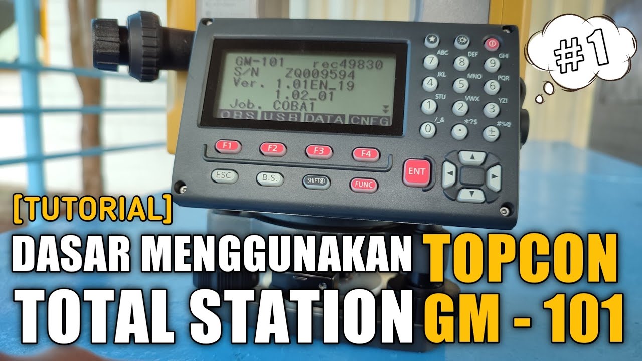
[TUTORIAL 1] DASAR MENGGUNAKAN TOTAL STATION TOPCON GM-101 SERIES | ANAK TEKNIK
Cara Pematokan (Stake Out) dengan Alat Total Station Topcon GM-55
Belajar Cara Menggunakan Oscilloscope Digital | Cara Kalibrasi Oscilloscope Digital

Manual Estación Total Topcon
5.0 / 5 (0 votes)