TUTORIAL PENGOPRASIAN TOTAL STATION LEICA TS06 INDONESIA
Summary
TLDRThis tutorial guides users on how to operate the Leica TS06 total station for surveying tasks. It covers essential preparation steps, including setting up the total station and connecting it to GPS coordinates. The process is explained through practical steps such as centering the instrument, adjusting for height, and performing accurate measurements. The tutorial also discusses how to handle obstacles and recalibrate equipment for precise readings. With detailed instructions, the video ensures that users can operate the total station effectively, whether for local measurements or overlaying data on platforms like Google Earth.
Takeaways
- 😀 Ensure you have the necessary equipment before using a total station, such as the unit itself, a tripod, a polygon, a single prism, and a tape measure.
- 😀 If you plan to overlay the measurement results onto Google Earth, it's important to have at least one known coordinate.
- 😀 Using two coordinates for orientation provides better accuracy and ensures proper alignment with Google Earth or other mapping tools.
- 😀 The process begins by determining two coordinate points with a smartphone app, which can provide rough coordinates.
- 😀 Coordinates can be obtained using a geodetic GPS method for high precision, ensuring the accuracy of the coordinates used for the measurement.
- 😀 After obtaining the coordinates, the total station is set up by centering it properly over a known reference point, like a BM (benchmark).
- 😀 The total station's orientation is adjusted using the known coordinates, and the height of the instrument is also recorded for accuracy.
- 😀 Once the equipment is set up and calibrated, measurements are taken, and the results are stored with job details like operator information and measurement points.
- 😀 In the case of difficult terrain or obstructions, adjustments can be made by relocating the instrument to a different position, ensuring the target remains visible and measurable.
- 😀 The tutorial demonstrates how to conduct orientation using coordinates and measurements from different points, making it adaptable for various surveying needs.
- 😀 The use of the total station is not specific to one model or brand; understanding the general principles allows for the use of any type of total station with a similar interface.
Q & A
What equipment is required to operate a Total Station?
-To operate a Total Station, you will need the unit itself, two tripods, a polygon prism, a single prism, a full meter, and access to at least one coordinate point. Additional accessories like a GPS and smartphone application for obtaining coordinates are also helpful.
Why is it necessary to have at least one coordinate value when using a Total Station?
-At least one coordinate value is necessary for performing orientation, especially if the measurements are to be overlaid onto platforms like Google Earth. Having a coordinate allows for accurate positioning and reference during measurement.
What is the significance of having two coordinates when using a Total Station?
-Having two coordinates—one for the benchmark (BM) and one for the station—enables a more accurate orientation of the Total Station. It improves the precision of measurements and ensures alignment with real-world coordinates.
How do you determine the coordinates needed for Total Station operation?
-Coordinates can be obtained using a smartphone GPS application like Mobile Topographer. In practice, the coordinates should ideally be obtained using a geodetic GPS system, which provides more precise results.
What is the process for centering the Total Station on its tripod?
-To center the Total Station, first unlock the tripod and adjust its height. Then, use the laser pointer to ensure the instrument is positioned correctly over the survey point. Fine-tune the centering until the laser pointer is perfectly aligned.
How is the height of the Total Station measured?
-The height of the Total Station is measured using a meter to ensure it is set correctly for accurate readings. For example, the height might be recorded as 1.57 meters, depending on the equipment and setup.
What is the purpose of the 'Fixed-Point' feature in Total Station setup?
-The 'Fixed-Point' feature allows the user to input known coordinates, such as those for a benchmark (BM). These coordinates help orient the Total Station to ensure the measurement is accurate and aligns with known geographic locations.
What is the significance of setting up the station with both BM and target coordinates?
-Setting up the station with both BM and target coordinates enables the Total Station to accurately orient itself to the correct location. The BM serves as a reference point, while the target coordinates ensure measurements are aligned and precise.
How do you adjust for different positions when taking measurements with a Total Station?
-If the measurement point is obstructed or inaccessible, you can move the Total Station to a new position, ensuring to adjust for eccentricity (shift in position). After moving, you must realign the instrument and adjust the target's height accordingly.
What should you do if you cannot directly reach a survey point with the Total Station?
-If you cannot directly reach the survey point, move the instrument to a nearby location, ensuring to adjust for eccentricity. Once repositioned, realign the instrument and adjust for any height differences to maintain measurement accuracy.
Outlines

此内容仅限付费用户访问。 请升级后访问。
立即升级Mindmap

此内容仅限付费用户访问。 请升级后访问。
立即升级Keywords

此内容仅限付费用户访问。 请升级后访问。
立即升级Highlights

此内容仅限付费用户访问。 请升级后访问。
立即升级Transcripts

此内容仅限付费用户访问。 请升级后访问。
立即升级浏览更多相关视频

Tutorial Set Up Total Station Leica TS16 R1000 Dengan Leica Captivate V.7.0
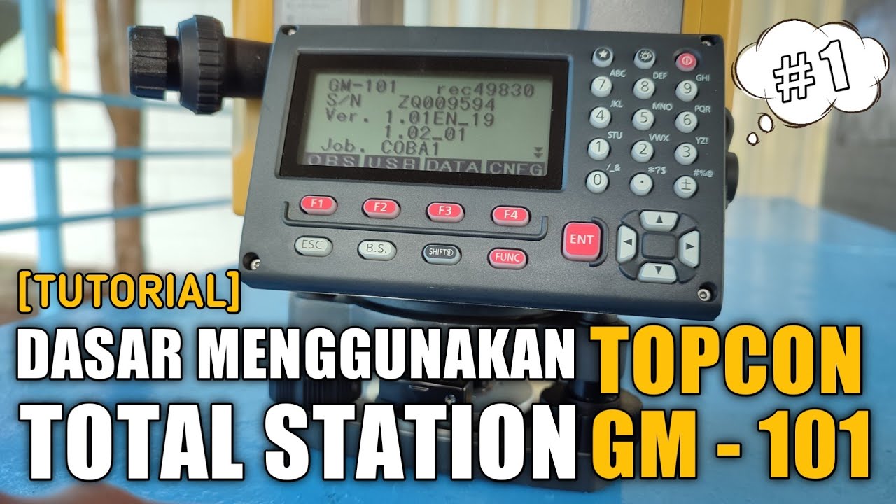
[TUTORIAL 1] DASAR MENGGUNAKAN TOTAL STATION TOPCON GM-101 SERIES | ANAK TEKNIK
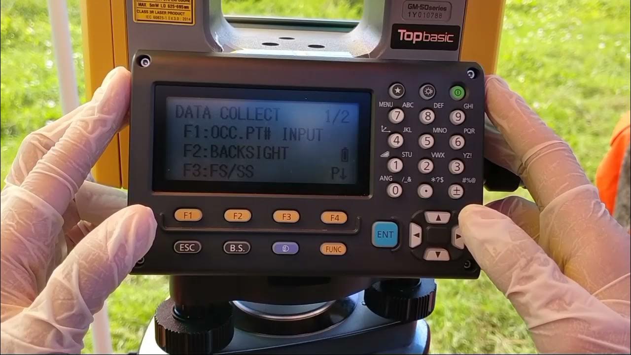
Cara Pengukuran Detail Situasi dengan Alat Total Station Topcon GM-55
Cara Pematokan (Stake Out) dengan Alat Total Station Topcon GM-55

TOTAL STATION : Si Kuning Alat Ukur
[TUTORIAL] Dasar Menggunakan Total Station South NTS 365 | CV.BNT BANDUNG
5.0 / 5 (0 votes)
