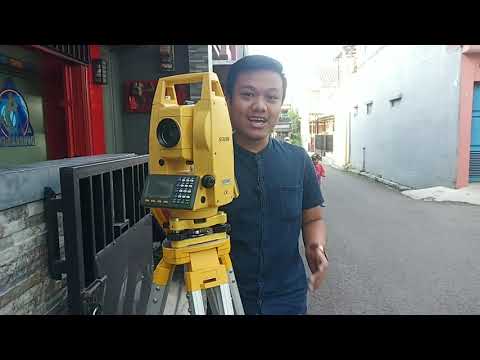
TOTAL STATION : Si Kuning Alat Ukur
Summary
TLDRThis video provides an overview of the total station, a modern surveying tool used for measuring distance and angles. It explains the evolution of measurement technologies from basic tools like theodolites to more advanced devices like the total station. The total station uses infrared waves to measure distances, with applications in construction and land surveying. It highlights the tool's capabilities, including measuring up to 1 km, robotic functions, and scanning abilities. The script also touches on the importance of clear line-of-sight for accurate measurements and the advancements in total station technology for better efficiency and precision.
Takeaways
- 😀 The tool discussed in the script is called a Total Station, which is used for measuring distance and bearing in various surveying and construction applications.
- 😀 Total Station technology replaced older methods like 'Ti' and 'Todo', which relied on chain measurements and were less efficient.
- 😀 IDM (Electronic Design Management) introduced the ability to measure distances electronically, enhancing precision and speed compared to traditional methods.
- 😀 A Total Station uses infrared waves to measure distance, and these waves are reflected back from a prism to determine the measurement.
- 😀 Line of sight is crucial for accurate measurements with a Total Station; obstructions like trees or buildings can prevent accurate readings.
- 😀 The effective range of a Total Station is typically up to 300 meters, but it can reach up to 1 kilometer in optimal conditions without weather or physical obstructions.
- 😀 Weather conditions, such as heat or poor visibility, can impact the accuracy of infrared distance readings, which is why measurements are often done in the early morning.
- 😀 Newer Total Station models feature advanced functions, including the ability to measure distances up to 6 kilometers and robotic systems for automatic operation.
- 😀 Some Total Stations are equipped with scanning capabilities that allow for creating detailed maps and capturing images of the measurement area.
- 😀 The development of Total Station technology has played a vital role in infrastructure projects, helping to improve the speed, accuracy, and efficiency of construction and surveying tasks.
Q & A
What is a total station?
-A total station is an advanced surveying instrument used to measure distances, bearings, and angles. It combines the functionality of a theodolite for angle measurement and an electronic distance meter (EDM) to measure distances, often utilizing infrared waves for precise measurements.
How does a total station measure distance?
-A total station uses infrared waves that are emitted towards a prism, known as a 'pizap pancake.' The infrared waves bounce back from the prism, and the instrument calculates the distance based on the time it takes for the waves to return.
What is the minimum distance that can be measured by a total station?
-The minimum distance a total station can measure is 30 meters, according to the guidelines for its use.
What is the maximum distance a total station can measure?
-The maximum distance a total station can measure is typically up to 300 meters. However, some advanced total stations can measure up to one kilometer, provided there are no obstructions and the weather conditions are favorable.
Why are total stations typically used in the morning for measurements?
-Total stations are often used in the morning to avoid the interference of high temperatures on infrared waves, which can distort distance readings. Cooler temperatures generally provide more accurate measurements.
What are some advanced features found in modern total stations?
-Modern total stations come with several advanced features such as robotic capabilities (where the instrument operates autonomously), the ability to scan and create 3D scans of the environment, and the ability to capture images along with measurement data.
What is the significance of the 'pizap pancake' in total station technology?
-The 'pizap pancake' refers to the prism that reflects the infrared waves emitted by the total station. This reflection helps the instrument accurately calculate the distance between the total station and the prism.
How does a total station's robotic function work?
-The robotic function in a total station allows it to operate autonomously, meaning one operator can control the station remotely. This feature is especially useful in large-scale surveying projects where manual handling is impractical.
Can a total station work in areas with obstructions like trees or buildings?
-No, a total station requires a clear line of sight between the instrument and the prism. Obstructions like trees or buildings can block the infrared waves, preventing accurate distance measurements.
What types of data can be obtained from a total station besides distance?
-Besides distance, a total station can also provide bearings (the direction of measurement) and precise coordinate data, depending on the specific model. Some advanced models can even capture images or create scans of the area being measured.
Outlines

This section is available to paid users only. Please upgrade to access this part.
Upgrade NowMindmap

This section is available to paid users only. Please upgrade to access this part.
Upgrade NowKeywords

This section is available to paid users only. Please upgrade to access this part.
Upgrade NowHighlights

This section is available to paid users only. Please upgrade to access this part.
Upgrade NowTranscripts

This section is available to paid users only. Please upgrade to access this part.
Upgrade NowBrowse More Related Video
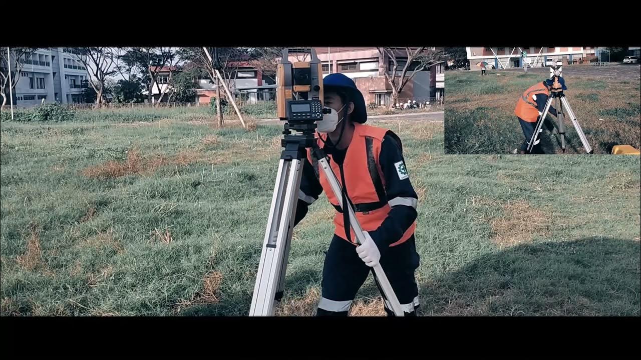
[TUTORIAL] Dasar Menggunakan Total Station South NTS 365 | CV.BNT BANDUNG
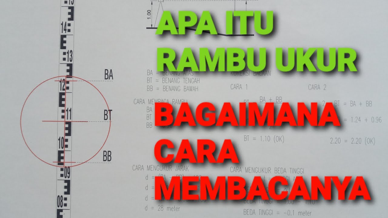
APA ITU RAMBU UKUR DAN BAGAIMANA CARA MEMBACA RAMBU UKUR SECARA MUDAH BAGI PEMULA

ATPL Radio Navigation - Class 6: DME.
Cara Pematokan (Stake Out) dengan Alat Total Station Topcon GM-55

ILMU UKUR TANAH ALAT UKUR THEODOLITE

Traverse Surveying Tutorial
5.0 / 5 (0 votes)