Definisi dan Komponen Penginderaan Jauh (PJ)/ Geografi Kelas X/ Kurikulum Merdeka
Summary
TLDRIn this video, the basics of remote sensing (RS) are introduced, covering its definition and key components. Remote sensing is explained as the process of obtaining information about objects or phenomena from a distance without direct contact, using tools like satellites and sensors. The video outlines the different stages of remote sensing, including energy sources, sensors, data transmission, and final usage by various users, such as students and institutions. Examples like Google Maps are used to illustrate how satellite images are processed and utilized, emphasizing the importance of remote sensing in understanding Earth's surface.
Takeaways
- 😀 Remote sensing (Penginderaan Jauh) is the science of acquiring information about objects or phenomena without direct contact using tools like satellites and sensors.
- 😀 The basic definition of remote sensing involves the measurement and acquisition of data from objects or phenomena using instruments that do not physically touch them.
- 😀 Remote sensing data can be categorized into passive and active systems: passive systems use natural energy like sunlight, while active systems use artificial energy sources such as satellites.
- 😀 The atmosphere plays a crucial role in remote sensing as it can affect the quality of data by obstructing the energy transmitted by sources like the sun.
- 😀 Key components of remote sensing include the energy source, atmosphere, objects, sensors, platforms, data transmission, processing, and the users of the data.
- 😀 Sensors record data from objects on Earth and can be mounted on platforms like satellites, aircraft, or ground stations to capture the required information.
- 😀 Data collected by sensors is transmitted to Earth stations where it is processed and analyzed into useful information, such as satellite imagery.
- 😀 There are three main types of platforms used for remote sensing: ground-based, aerial (aircraft), and satellite platforms. These vary in terms of the altitude and the scope of the data they capture.
- 😀 Remote sensing data can be categorized by resolution: spatial resolution (detail of images), spectral resolution (ability to detect different wavelengths), and temporal resolution (how frequently data is captured).
- 😀 Applications of remote sensing are widespread, including in fields like environmental monitoring, agriculture, disaster management, and urban planning, helping to understand and analyze Earth's surface.
Q & A
What is remote sensing (penginderaan jauh)?
-Remote sensing is the science and art of obtaining information about objects, areas, or phenomena through the analysis of data acquired using sensors, without making direct contact with the object being observed. It is often used to monitor Earth's surface from a distance, such as with satellites.
What are the key components of remote sensing?
-The key components of remote sensing include: energy source (active and passive systems), atmosphere, objects, platform and sensor, transmission or ground station, data management, and the user of the data.
What is the role of energy source in remote sensing?
-The energy source in remote sensing can be passive (like sunlight) or active (such as satellite sensors). It is responsible for emitting or reflecting energy that reaches the Earth's surface and is later recorded by sensors.
What are the differences between active and passive energy systems?
-A passive energy system relies on natural energy sources, like sunlight, and can only operate during the day. In contrast, active systems use artificial energy sources, such as lasers or synthetic aperture radar, allowing them to work day and night regardless of atmospheric conditions.
How does the atmosphere affect remote sensing?
-The atmosphere can interfere with remote sensing by scattering or absorbing energy before it reaches the Earth's surface or after it is reflected. Factors like dust, water vapor, and clouds can obstruct the quality of data captured, influencing the clarity and accuracy of recordings.
What is the significance of the objects being studied in remote sensing?
-Objects in remote sensing refer to anything that can be observed on Earth's surface, such as landforms (lithosphere), ecosystems (biosphere), and water bodies (hydrosphere). These objects reflect or emit energy that is captured by sensors, providing valuable data for analysis.
What types of platforms are used for remote sensing?
-There are several platforms used for remote sensing, including ground-based platforms (fixed sensors on Earth), aerial platforms (sensors on aircraft), and satellite platforms (sensors on satellites orbiting Earth). Each platform offers different perspectives and capabilities depending on the type of data being collected.
What is a satellite platform and how is it used in remote sensing?
-A satellite platform refers to sensors placed on satellites that orbit the Earth, typically at altitudes ranging from 400 to 2,000 kilometers. These platforms capture large-scale, global data that can be used for monitoring vast areas, such as entire countries or continents.
How are remote sensing data processed and used?
-Once the data is captured by sensors, it is transmitted to ground stations where it is processed and analyzed. The processed data, often in the form of satellite imagery, is then used by various users, including researchers, governments, and businesses, for applications like environmental monitoring, urban planning, and disaster management.
How do resolution types affect remote sensing data?
-Resolution in remote sensing refers to the level of detail captured in the data. There are three main types of resolution: spatial (the clarity of objects), spectral (the range of colors or wavelengths captured), and temporal (the frequency of data capture). Higher resolution allows for more detailed observations of smaller features or changes over time.
Outlines

This section is available to paid users only. Please upgrade to access this part.
Upgrade NowMindmap

This section is available to paid users only. Please upgrade to access this part.
Upgrade NowKeywords

This section is available to paid users only. Please upgrade to access this part.
Upgrade NowHighlights

This section is available to paid users only. Please upgrade to access this part.
Upgrade NowTranscripts

This section is available to paid users only. Please upgrade to access this part.
Upgrade NowBrowse More Related Video

Pengindraan Jauh | Kelas X SMA
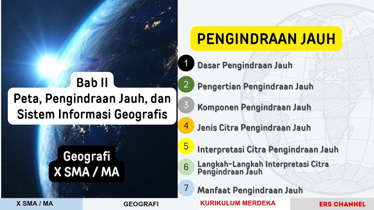
BAB 2 PENGINDRAAN JAUH | GEOGRAFI KELAS X| KURIKULUM MERDEKA
Rangkuman Materi: Penginderaan Jauh
Lecture 1 : Rudiments of Remote Sensing and Advantages
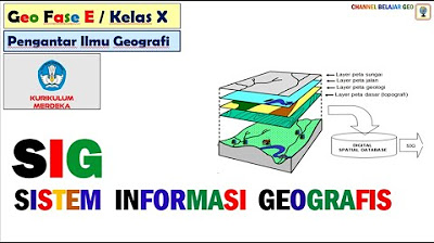
Sistem Informasi Geografis # kurikulum merdeka.
Pengindraan Jauh atau Remote Sensing #geography #education #kurikulummerdeka #remotesensing
5.0 / 5 (0 votes)