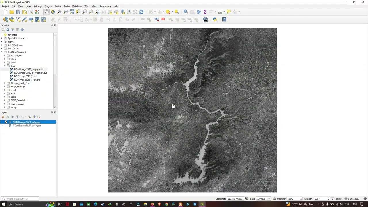
HOW TO ADD VECTOR FILE IN QGIS
Summary
TLDRThis tutorial demonstrates how to add shapefiles to QGIS using multiple methods. First, the user can add a shapefile by navigating to 'Layer' > 'Add Layer' > 'Add Vector Layer' and browsing for the file. Alternatively, shapefiles can be dragged directly from the browser panel or folder onto the layers panel. The tutorial also shows how to add multiple shapefiles at once using the 'Ctrl' key. Lastly, it explains how to remove layers by right-clicking and selecting 'Remove Layer.' This offers a comprehensive guide for managing shapefiles in QGIS.
Takeaways
- 😀 To add a vector shapefile in QGIS, navigate to 'Layer' and select 'Add Layer', then click on 'Add Vector Layer'.
- 😀 After selecting 'Add Vector Layer', use the three dots to browse and locate the shapefile in your system (e.g., in the Downloads folder).
- 😀 To add a shapefile, simply click on it and press 'Open', then click 'Add' and 'Close' to confirm the addition in QGIS.
- 😀 Another way to add a shapefile in QGIS is by using the Browser Panel. Find the shapefile and drag it to the Layers Panel.
- 😀 You can add multiple shapefiles by holding down the 'Ctrl' key, selecting the files, and dragging them into the Layers Panel.
- 😀 If needed, you can also go directly to the folder where the shapefiles are stored, double-click on a file, and drag it into QGIS.
- 😀 To remove a layer in QGIS, right-click on the layer and choose 'Remove Layer'. Confirm by clicking 'OK'.
- 😀 The Browser Panel provides a quick way to access and load shapefiles into QGIS from various directories.
- 😀 In QGIS, shapefiles can be added by simply dragging them into the Layers Panel from the file explorer or the Browser Panel.
- 😀 Shapefiles can be loaded into QGIS in different ways, offering flexibility depending on your workflow preferences.
Q & A
What is the first step to add a vector file in QGIS?
-The first step is to go to the 'Layer' menu, click on 'Add Layer', and then select 'Add Vector Layer'.
How do you browse and select a shape file to add in QGIS?
-You can browse for the shape file by clicking on the three dots, then navigate to the file location (e.g., Downloads), select the desired shape file, and click 'Open'.
After selecting the shape file, what is the next step?
-After selecting the shape file, click 'Add' and then click 'Close' to finish the process.
Is there another way to add a shape file in QGIS apart from using the 'Add Layer' option?
-Yes, you can also use the Browser Panel in QGIS. Simply drag and drop the desired shape file from the Browser Panel into the Layers Panel.
How can you add multiple shape files at once in QGIS?
-To add multiple shape files, press and hold the 'Ctrl' key while selecting each file, and then drag and drop them into the Layers Panel.
Where do you find the shape files if they were downloaded to your computer?
-The shape files are typically stored in the 'Downloads' folder, or any other location where they were saved.
What is the process of removing a layer in QGIS?
-To remove a layer, right-click on the layer in the Layers Panel, select 'Remove Layer', and then confirm by clicking 'OK'.
Can you use the Browser Panel to manage layers in QGIS?
-Yes, the Browser Panel allows you to view and manage your files, and you can drag and drop files directly from it into the Layers Panel.
Is it necessary to open the shape file before dragging it into the Layers Panel?
-No, you do not need to open the file beforehand. You can drag and drop the shape file directly from the folder or Browser Panel into the Layers Panel.
Can you load a shape file from a different folder than the default download location?
-Yes, you can load shape files from any folder on your computer by browsing to the specific folder location and selecting the file.
Outlines

This section is available to paid users only. Please upgrade to access this part.
Upgrade NowMindmap

This section is available to paid users only. Please upgrade to access this part.
Upgrade NowKeywords

This section is available to paid users only. Please upgrade to access this part.
Upgrade NowHighlights

This section is available to paid users only. Please upgrade to access this part.
Upgrade NowTranscripts

This section is available to paid users only. Please upgrade to access this part.
Upgrade NowBrowse More Related Video

Lecture 46: Introduction to QGIS and Data Import (Hands on By: Chandan M C)
How to Import Raster layer in QGIS | QGIS 3.28 - Latest Tutorials

QGIS | Tutorial Membuat Peta Dengan Mudah Menggunakan QGIS v 3.28 Tahun 2024

Editing Attribute Table in QGIS

MongoDB Insert Document in Collection in Urdu / Hindi Tutorial || Dr Rabia kanwal
BELAJAR ARCGIS UNTUK PEMULA #PART1 || DASAR DASAR DATA SPATIAL, IMPORT DATA, BUKA & SIMPAN PROJECT.
5.0 / 5 (0 votes)