V2 Introduction to Folium V2
Summary
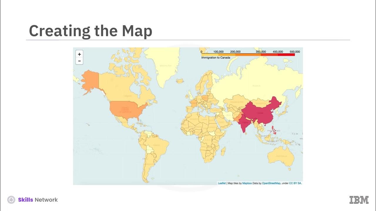
TLDRThis video introduces Folium, a powerful Python library designed for visualizing geospatial data. Viewers will learn how to create interactive maps by utilizing latitude and longitude coordinates, with options for various map styles such as OpenStreetMap, Stamen Toner, and Stamen Terrain. The tutorial demonstrates the simplicity of generating a world map centered around Canada, emphasizing features like customizable zoom levels and different map styles to enhance visual exploration. Overall, it showcases Folium as an essential tool for effective data visualization in geospatial contexts.
Takeaways
- 🌍 Folium is a powerful data visualization library in Python primarily used for visualizing geospatial data.
- 🗺️ With Folium, you can create maps of any location worldwide using latitude and longitude values.
- 📍 The library allows you to superimpose markers and clusters on maps for enhanced visualizations.
- 🖼️ Different map styles can be created in Folium, such as street level maps and Stamen maps.
- 🔍 Folium maps are interactive, enabling users to zoom in and out after rendering.
- 🌐 The default map style in Folium is OpenStreetMap, which provides a clear view of areas.
- 🧭 You can center a map around specific locations by passing latitude and longitude to the location parameter.
- 🔄 The zoom level can be set initially using the zoom_start parameter, which can be adjusted later.
- 🗺️ Stamen maps are useful for visualizing river meanders and coastal zones.
- 🌳 The Stamen terrain style is excellent for showcasing hill shading and natural vegetation colors.
Q & A
What is Folium?
-Folium is a powerful data visualization library in Python, primarily used to visualize geospatial data.
What are the main features of Folium?
-Folium allows users to create interactive maps, customize map styles, and superimpose markers and clusters on maps for better visualization.
How does Folium help in visualizing geographic data?
-Folium helps visualize geographic data by enabling users to create maps centered around specific latitude and longitude coordinates, which can display various types of information spatially.
What is the default map style used by Folium?
-The default map style used by Folium is OpenStreetMap, which provides a detailed view of areas at different zoom levels.
Can users customize the initial zoom level in Folium maps?
-Yes, users can customize the initial zoom level of their maps using the 'zoom_start' parameter when creating a map.
What types of map styles can be created using Folium?
-Folium supports various map styles, including OpenStreetMap, Stamen Toner for river meanders, and Stamen Terrain for natural landscapes.
How do you create a world map centered around a specific location using Folium?
-To create a world map centered around a specific location, you import Folium, then call the map function with the desired latitude and longitude values.
What is the benefit of interactive maps in Folium?
-Interactive maps allow users to zoom in and out after rendering, providing a dynamic way to explore geographic data.
What is the 'tiles' parameter in Folium?
-The 'tiles' parameter in Folium allows users to specify different styles for their maps, enhancing the visualization based on the type of data being represented.
What are some use cases for Folium?
-Folium can be used in various fields such as urban planning, environmental studies, tourism, and data journalism to visualize geographic data effectively.
Outlines

此内容仅限付费用户访问。 请升级后访问。
立即升级Mindmap

此内容仅限付费用户访问。 请升级后访问。
立即升级Keywords

此内容仅限付费用户访问。 请升级后访问。
立即升级Highlights

此内容仅限付费用户访问。 请升级后访问。
立即升级Transcripts

此内容仅限付费用户访问。 请升级后访问。
立即升级浏览更多相关视频
V2 Choropleth Maps

Interactive Route Line Map in Python using folium

What is Pandas? Why and How to Use Pandas in Python

[Uber Open Source] Engineering Sub-City Geos for a Hyper-Local Marketplace with Uber

Bab 6 Analisis Data | Informatika Kelas 10 Kurikulum Merdeka

How to Manage DBT Workflows Using Airflow!
5.0 / 5 (0 votes)
