Sistem Informasi Geografis # kurikulum merdeka.
Summary
TLDRIn this video, the basics of Geographic Information Systems (GIS) are introduced, explaining its purpose in collecting, managing, and analyzing spatial data. The video discusses the significance of remote sensing data in GIS, the components of the system, and the data input and processing stages. It highlights the differences between spatial and attribute data, and the various types of data used in GIS, including vector and raster formats. The presentation also covers key analytical processes such as overlay and scoring, culminating in how GIS outputs can support decision-making for users ranging from government agencies to the general public.
Takeaways
- 😀 GIS, or Geographic Information System, is a vital tool for collecting, managing, and analyzing geographical data.
- 📊 The concept of overlay in GIS allows for the integration of multiple thematic maps to produce comprehensive insights.
- 🌍 Remote sensing data plays a crucial role in GIS, providing up-to-date information about the Earth's surface.
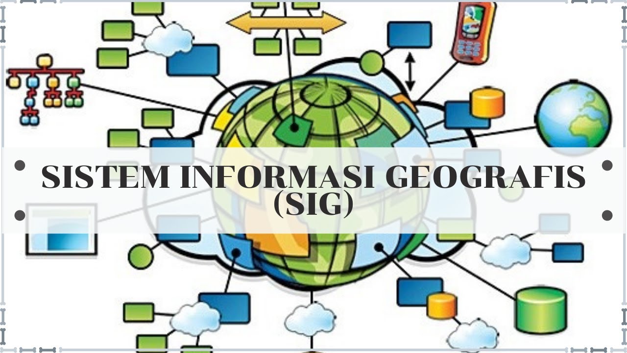
- 🖥️ Key components of GIS include hardware (input, storage, output), software applications, human expertise, and end-users.
- 📥 Data input in GIS can come from primary sources (direct measurements) and secondary sources (remote sensing and satellite imagery).
- 📈 GIS data types are categorized into spatial data (location-based) and attribute data (descriptive information).
- 🔄 Data processing in GIS involves stages such as data management, analysis, and output generation.
- ⚙️ Various analytical methods in GIS include classification, overlay analysis, networking, buffering, and 3D analysis.
- 🗺️ The output data generated by GIS can take the form of maps, diagrams, and statistical representations used across various sectors.
- 🎓 Understanding GIS is essential for students, as it has real-world applications in areas such as government, academia, and environmental planning.
Q & A
What is a Geographic Information System (GIS)?
-A Geographic Information System (GIS) is a system designed to collect, manage, analyze, and present geographic data, enabling users to visualize spatial relationships and patterns.
What are the four main components of GIS?
-The four main components of GIS are hardware, software, brainware (human resources), and users. Hardware includes input and output devices; software consists of applications used for data processing; brainware refers to skilled professionals operating the system, and users are those who utilize GIS data for various purposes.
What types of data are used as input in GIS?
-Input data in GIS can include primary data from direct field measurements, remote sensing data such as satellite images, spatial data defined by geographical coordinates, and attribute data that provides descriptive information related to spatial data.
How does overlay analysis work in GIS?
-Overlay analysis involves stacking multiple thematic maps to create a new map that shows relationships between different data layers, such as combining land use and population density to assess urban development suitability.
What is the difference between vector and raster data in GIS?
-Vector data represents geographic features as points, lines, and polygons with defined coordinates, while raster data consists of a grid of pixels or cells, where each pixel represents a value, often used for satellite imagery and continuous data.
What role does remote sensing play in GIS?
-Remote sensing provides crucial data for GIS, allowing for the collection of large-scale geographic information through satellite imagery and aerial photographs, which can be analyzed for various applications.
What are some common applications of GIS?
-GIS applications include urban planning, environmental monitoring, disaster management, resource management, and transportation planning, where spatial analysis helps inform decision-making.
What is the significance of data processing in GIS?
-Data processing in GIS is essential for organizing, managing, and analyzing spatial and attribute data, allowing users to derive insights and make informed decisions based on the processed information.
How does scoring work in the GIS data processing stage?
-Scoring in GIS involves assigning values to different areas based on specific criteria (e.g., rainfall levels or slope steepness) to identify regions of interest, such as high-risk areas for landslides.
What types of output can GIS produce?
-GIS can produce various outputs, including thematic maps, diagrams, tables, and graphs, which can be utilized by government agencies, researchers, and the general public for analysis and decision-making.
Outlines

Этот раздел доступен только подписчикам платных тарифов. Пожалуйста, перейдите на платный тариф для доступа.
Перейти на платный тарифMindmap

Этот раздел доступен только подписчикам платных тарифов. Пожалуйста, перейдите на платный тариф для доступа.
Перейти на платный тарифKeywords

Этот раздел доступен только подписчикам платных тарифов. Пожалуйста, перейдите на платный тариф для доступа.
Перейти на платный тарифHighlights

Этот раздел доступен только подписчикам платных тарифов. Пожалуйста, перейдите на платный тариф для доступа.
Перейти на платный тарифTranscripts

Этот раздел доступен только подписчикам платных тарифов. Пожалуйста, перейдите на платный тариф для доступа.
Перейти на платный тариф


5.0 / 5 (0 votes)
