EXPLORATORY ANALYSIS OF GEOLOCATIONAL DATA (MINI PROJECT)
Summary
TLDRThis project presents an exploratory data analysis (EDA) on geolocational data, a vital process for uncovering patterns and driving insights. The presentation outlines key steps: understanding geolocational data, spatial analysis, targeted marketing, and urban planning. It covers data collection, cleaning, transformation, and visualization techniques such as Point, Eat, and Flow Maps. The project utilizes clustering algorithms to analyze spatial relationships and accessibility, aiming to build applications that cater to newcomers' needs in a city. The final output is a map displaying clusters of amenities like restaurants and services, demonstrating the practical applications of EDA in daily life.
Takeaways
- 📊 Exploratory Data Analysis (EDA) is essential for understanding and extracting insights from geolocational data.
- 📍 The project focuses on four main areas: importance of geolocational data, location-based insights, spatial analysis, targeted marketing, and urban planning.
- 🗺 Data collection involves obtaining geolocational data from sources like GPS devices, social media platforms, and sensor networks.
- 🧼 Data pre-processing includes cleaning the data by removing duplicates, addressing missing values, and ensuring data consistency for accurate analysis.
- 🔄 Data transformation is the process of converting cleaned data into a stable format ready for analysis, such as longitude and latitude coordinates.
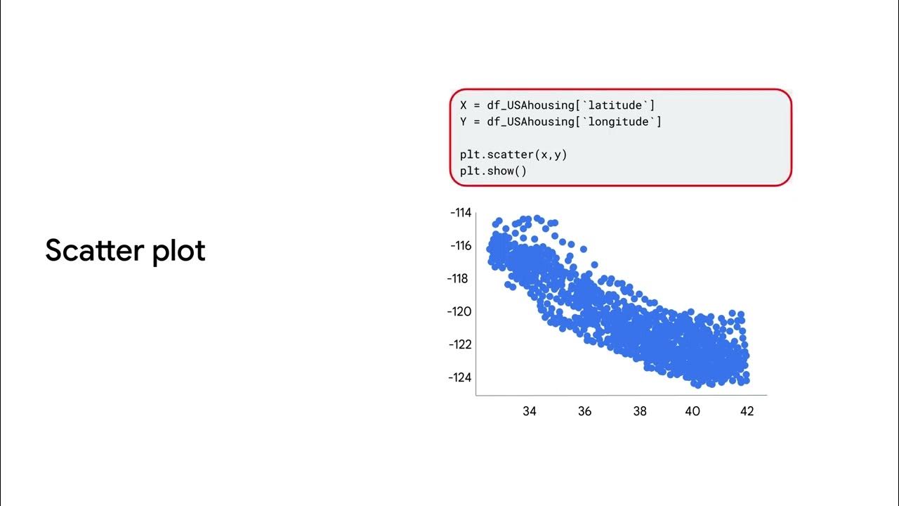
- 📈 Visualization of geolocational data is crucial and can be done using point maps, heat maps, and flow maps.
- 🔍 Identifying patterns and trends involves spatial clustering, trend analysis, and outlier detection to uncover relationships and correlations.
- 📏 Analyzing spatial relationships includes distance calculation, spatial correlation, and neighborhood analysis to understand the proximity and accessibility between points.
- 🛠 The data cleaning cycle involves importing data, handling missing or noisy data, and exploring the data for further insights.
- 📝 The project uses the Foursquare API to obtain geolocational data, which is a key component for the analysis.
- 📉 K-means clustering is utilized to find the optimal number of clusters in the refined dataset, aiding in the analysis of geolocational data.
Q & A
What is the main focus of the project presented in the script?
-The main focus of the project is exploratory data analysis on geolocational data, aiming to understand and extract insights from such data.
What are the four important aspects of the project mentioned in the script?
-The four important aspects are the importance of geolocational data, location-based insights, spatial analysis, targeted marketing, and urban planning.
What are the steps involved in conducting effective EDA on geolocational data?
-The steps involved are geolocational data acquisition, data cleaning, data transformation, and visualizing the geolocational data.
What are the sources from which geolocational data can be obtained?
-Geolocational data can be obtained from various sources such as GPS devices, social media platforms, and sensor networks.
How is the data cleaned in the data cleaning process mentioned in the script?
-The data is cleaned by removing duplications, addressing missing values, and ensuring data consistency for accurate analysis.
What are the three types of maps used for visualizing geolocational data in the project?
-The three types of maps used are Point Maps, Heat Maps, and Flow Maps.
What are the methods used to identify patterns and trends in the geolocational data?
-The methods used include spatial clustering, trend analysis, and outlier detection.
What is the purpose of calculating the distance between two points in the project?
-The purpose of calculating the distance is to enable the analysis of proximity and accessibility between different locations.
How is missing data handled in the data cleaning cycle?
-Missing data is handled by replacing missing values with estimated values based on available data.
What is the significance of using the Foursquare API in the project?
-The Foursquare API is used to obtain geolocational data which is crucial for the project's analysis and insights.
What is the final output of the project after applying the K-means clustering algorithm?
-The final output is a map that allows users to select a particular location and view the requirements and availability of amenities like restaurants, based on the cluster analysis.
Outlines

Cette section est réservée aux utilisateurs payants. Améliorez votre compte pour accéder à cette section.
Améliorer maintenantMindmap

Cette section est réservée aux utilisateurs payants. Améliorez votre compte pour accéder à cette section.
Améliorer maintenantKeywords

Cette section est réservée aux utilisateurs payants. Améliorez votre compte pour accéder à cette section.
Améliorer maintenantHighlights

Cette section est réservée aux utilisateurs payants. Améliorez votre compte pour accéder à cette section.
Améliorer maintenantTranscripts

Cette section est réservée aux utilisateurs payants. Améliorez votre compte pour accéder à cette section.
Améliorer maintenantVoir Plus de Vidéos Connexes

What is exploratory data analysis

#1 Unlock The Secrets Of Data Analysis: A Comprehensive Tutorial On The Data Analysis Lifecycle

04-1 Memahami Data Melalui Eksplorasi Data

The EDA framework data hiring managers love (use it in your portfolio projects)

Data analysis and visualization

Exploratory Data Analysis (EDA) Using Python | Python Data Analysis | Python Training | Edureka
5.0 / 5 (0 votes)
