BENTANG ALAM DAN MATA PENCAHARIAN || IPAS || KELAS 4
Summary
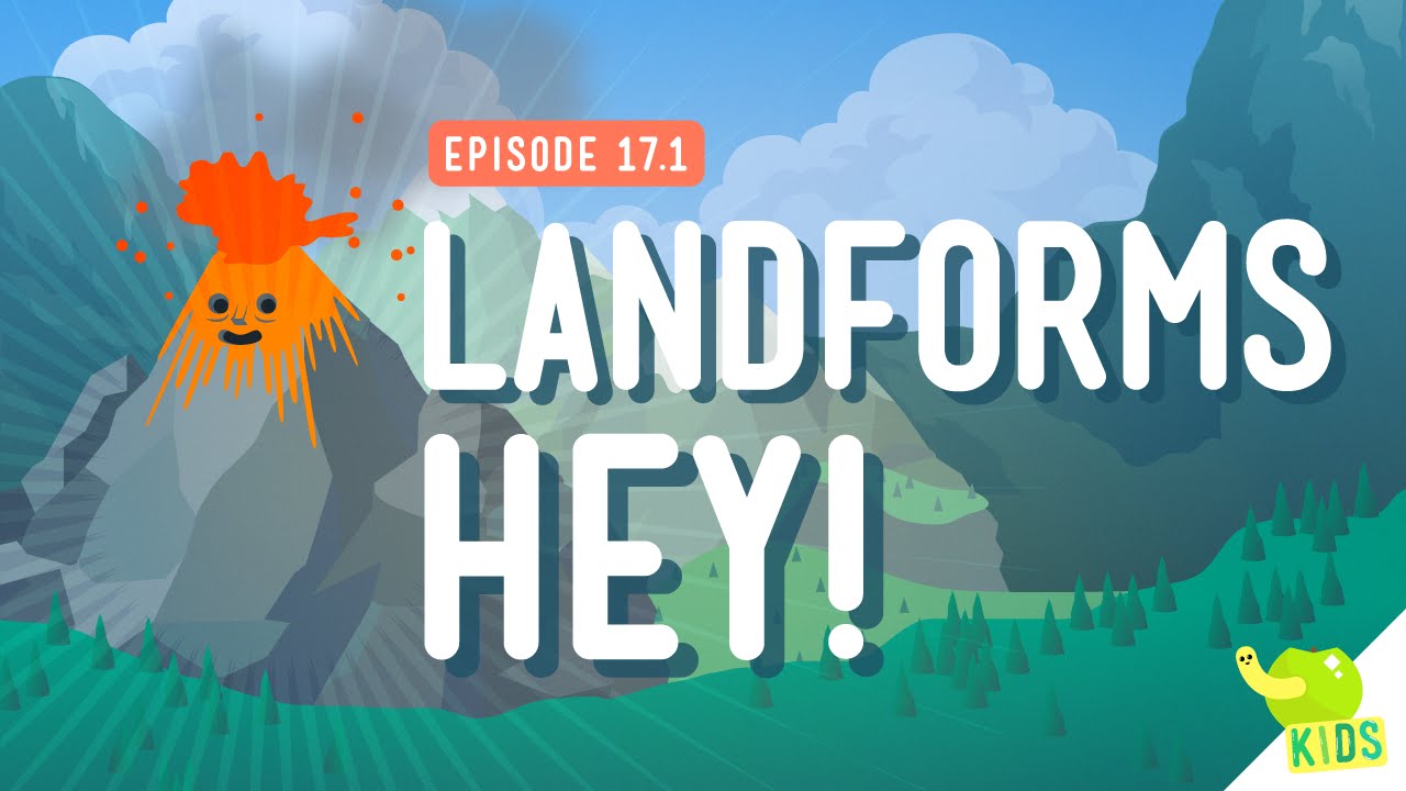
TLDRThis video explores the various landforms and how they influence the livelihoods of the communities living in those areas. It covers the definition and types of landforms, such as mountains, plains, rivers, and seas, and the natural events that shape them, including tectonic activity, erosion, and volcanic eruptions. It also examines how landforms impact professions, from fishing in coastal regions to farming in fertile plains or mountain tourism. The video emphasizes the connection between geography and human activities, illustrating how local environments shape different types of work and lifestyle.
Takeaways
- 😀 Bentang alam refers to the various types of landforms on Earth, including both natural and man-made features.
- 😀 Natural events such as tectonic plate movements, erosion, volcanic activity, and climate influence the formation of different landforms.
- 😀 Key landforms include mountains, valleys, rivers, deserts, forests, and volcanoes, each with unique characteristics shaped by natural forces.
- 😀 Different climates, such as tropical, dry, and temperate, play a major role in the formation of specific types of landforms (e.g., deserts, rainforests).
- 😀 Mount Toba, in Sumatra, was formed due to an ancient volcanic eruption, highlighting the long-term impact of volcanic activity on landforms.
- 😀 Erosion, caused by wind, water, and ice, contributes to the formation of valleys, cliffs, and rivers.
- 😀 The geographical features of an area influence the professions and livelihoods of the people living there, such as farming, fishing, and tourism.
- 😀 For example, people living by the coast often engage in fishing, salt farming, and coastal tourism, while those in mountain regions may work in agriculture or tourism.
- 😀 Landforms such as rivers, lakes, and seas offer opportunities for activities like hydropower generation, fishing, and transportation.
- 😀 The development of human professions and occupations is also influenced by technological advancements and migration, leading to more varied careers beyond the natural environment.
Q & A
What is the definition of 'bentang alam' (landscape) according to the video?
-Bentang alam, or landscape, is the shape of the Earth's surface that extends widely, including both land and water areas. It can also be referred to as natural features.
What are the main causes of natural landscape formation mentioned in the video?
-Natural landscapes can form due to several natural events, including tectonic plate movements, erosion or weathering, climate and weather, volcanic activity, and natural disasters such as floods, earthquakes, and tsunamis.
How do tectonic plate movements affect the formation of landscapes?
-The movement of Earth's tectonic plates can create mountains, valleys, and rivers. Plates may move slowly or rapidly, influencing the topography of the region.
What is the difference between lowlands and highlands as described in the video?
-Lowlands are areas with an elevation of 0–200 meters above sea level, often used for agriculture, plantations, livestock, and fisheries. Highlands are areas at 200–700 meters elevation, usually cooler, and used for plantations and tourism.
Can you list the types of landforms found on land?
-The main landforms include mountains and mountain ranges, lowlands, highlands, beaches, and peninsulas.
What types of water landscapes were discussed in the video?
-Water landscapes include rivers, straits, lakes, bays, and seas.
How do rivers contribute to human activities?
-Rivers provide freshwater and are used for irrigation, hydroelectric power, and transportation.
In what ways does the type of landscape influence local occupations?
-Local occupations are influenced by natural resources available in the area. For example, coastal areas may have fishermen and seaweed farmers, highlands may have tea and coffee farmers, and lowland rural areas may focus on agriculture, while urban lowlands may involve trade and industry.
Are occupations solely determined by landscapes?
-No, occupations are also influenced by technology, scientific developments, and interactions with outsiders such as traders and tourists, which can diversify the types of jobs available.
What are the benefits of beaches and peninsulas according to the video?
-Beaches can support mangrove forests to prevent erosion, coconut cultivation, and seaweed farming. Peninsulas are often used for fish farms, ports, and trade access, with examples including Tanjung Priok in Jakarta and Tanjung Perak in Surabaya.
How does climate affect landscape formation?
-Climate influences landscape types, for example, dry climates can create deserts, while tropical humid climates promote dense forests, as seen in Indonesia.
Why are volcanic areas significant for landscape and human activities?
-Volcanic activity forms mountains, islands, and fertile land. These areas, like around Lake Toba, are beneficial for agriculture and tourism due to rich soil and unique geological features.
Outlines

Esta sección está disponible solo para usuarios con suscripción. Por favor, mejora tu plan para acceder a esta parte.
Mejorar ahoraMindmap

Esta sección está disponible solo para usuarios con suscripción. Por favor, mejora tu plan para acceder a esta parte.
Mejorar ahoraKeywords

Esta sección está disponible solo para usuarios con suscripción. Por favor, mejora tu plan para acceder a esta parte.
Mejorar ahoraHighlights

Esta sección está disponible solo para usuarios con suscripción. Por favor, mejora tu plan para acceder a esta parte.
Mejorar ahoraTranscripts

Esta sección está disponible solo para usuarios con suscripción. Por favor, mejora tu plan para acceder a esta parte.
Mejorar ahoraVer Más Videos Relacionados


5.0 / 5 (0 votes)
