Pembuatan Peta Bidang Tanah dan Peta Dasar Pendaftaran (Part 1)
Summary
TLDRThis tutorial video explains the process of creating a Basic Registration Map (Peta Dasar Pendaftaran) offline, following the guidelines of Indonesian Government Regulation PP 24/1997. It covers the use of Geo KKP software to integrate survey data and satellite imagery, ensuring that all geographic and physical features like rivers, roads, and registered land boundaries are included. The tutorial walks through the technical steps of map creation, including scale selection, data input, and editing map elements, and concludes with instructions on printing or saving the map as a PDF.
Takeaways
- 😀 The video explains how to create a basic registration map and land parcel maps offline, following Indonesian Government Regulation PP No. 24 of 1997.
- 😀 Basic registration maps must include geographical features like rivers, roads, buildings, and physical boundaries of registered land parcels.
- 😀 Maps can be created using terrestrial measurements, photogrammetry, or other methods depending on the land's characteristics and use.
- 😀 The final map must be in specified scales: 1:1000 for settlement areas, 1:2500 for agricultural areas, and 1:10000 for large plantations.
- 😀 Templates in Geo KKP software can be used for map creation, allowing for offline editing and customization of map details.
- 😀 The map must be formatted with a title, scale, north arrow, map sheet number, and legend to meet regulatory standards.
- 😀 Additional information, such as administrative boundaries, should be added to the map to make it more informative and comprehensive.
- 😀 Users must ensure all necessary geographic data is included before finalizing the map, including missing features like boundaries or labels.
- 😀 The process involves choosing the correct map sheet based on the scale (e.g., 1:1000) and inputting map sheet numbers accurately.
- 😀 After editing, the map can be printed using a plotter or exported as a PDF for digital use, with adjustments made for optimal output.
- 😀 The final map should be carefully reviewed to ensure all elements are correct before printing or saving it as a PDF.
Q & A
What is the purpose of creating a basic registration map as explained in the video?
-The purpose of creating a basic registration map is to visually represent land boundaries and features such as rivers, roads, buildings, and other geographical elements, as well as to indicate the boundaries of registered land plots according to the PP 24 of 1997.
What are the key elements that should be included in a basic registration map?
-The key elements include geographical features like rivers, roads, and buildings, as well as physical boundaries of registered land plots. Additionally, the map should include technical points and necessary administrative information.
How are basic registration maps created according to the video?
-Basic registration maps can be created using terrestrial methods, photogrammetry, or other techniques. The resulting maps should adhere to specific scale requirements, such as 1:1000 for residential areas, 1:2500 for agricultural areas, and 1:10,000 for large plantations.
What scale should be used for different areas on a basic registration map?
-For residential areas, the scale should be 1:1000; for agricultural areas, the scale is 1:2500; and for large plantations, the scale is 1:10,000.
What software or tool is mentioned in the video for creating the registration map?
-The video mentions using the 'Geo KKP' application, specifically the 2012 x64bit version, for creating registration maps.
What is the role of satellite imagery in creating the basic registration map?
-Satellite imagery is used to integrate various measurement data and geographical information into the map, which helps to create an accurate and comprehensive basic registration map.
What administrative information is necessary for the registration map?
-Administrative information such as village boundaries (batas administrasi desa) must be included in the map to ensure it provides comprehensive and useful geographical data.
How is the map file structured in the Geo KKP software?
-In Geo KKP, map files are structured by selecting and opening specific files, then adding necessary data, such as the administrative boundaries, and editing or modifying the map as needed. It also involves inputting information like map sheet numbers.
What additional editing steps are required once the map is created?
-After creating the map, it may require editing to adjust the details, such as adding missing features like administrative boundaries, and ensuring that the map accurately represents the intended area.
How should the final map be printed or saved after completion?
-Once the map is complete, it can be printed using a plotter for physical copies, or saved as a PDF by selecting the 'Yuji to PDF' option. The file can be reviewed and adjusted for layout, offset, and size before saving or printing.
Outlines

Dieser Bereich ist nur für Premium-Benutzer verfügbar. Bitte führen Sie ein Upgrade durch, um auf diesen Abschnitt zuzugreifen.
Upgrade durchführenMindmap

Dieser Bereich ist nur für Premium-Benutzer verfügbar. Bitte führen Sie ein Upgrade durch, um auf diesen Abschnitt zuzugreifen.
Upgrade durchführenKeywords

Dieser Bereich ist nur für Premium-Benutzer verfügbar. Bitte führen Sie ein Upgrade durch, um auf diesen Abschnitt zuzugreifen.
Upgrade durchführenHighlights

Dieser Bereich ist nur für Premium-Benutzer verfügbar. Bitte führen Sie ein Upgrade durch, um auf diesen Abschnitt zuzugreifen.
Upgrade durchführenTranscripts

Dieser Bereich ist nur für Premium-Benutzer verfügbar. Bitte führen Sie ein Upgrade durch, um auf diesen Abschnitt zuzugreifen.
Upgrade durchführenWeitere ähnliche Videos ansehen

Pendaftaran Tanah di Indonesia

Belajar Bersama Pendaftaran Tanah I - PART 1 || Koeswidarbo, S.H, M.M, M.Kn

GoHighLevel A2P Registration | Everything you need to know
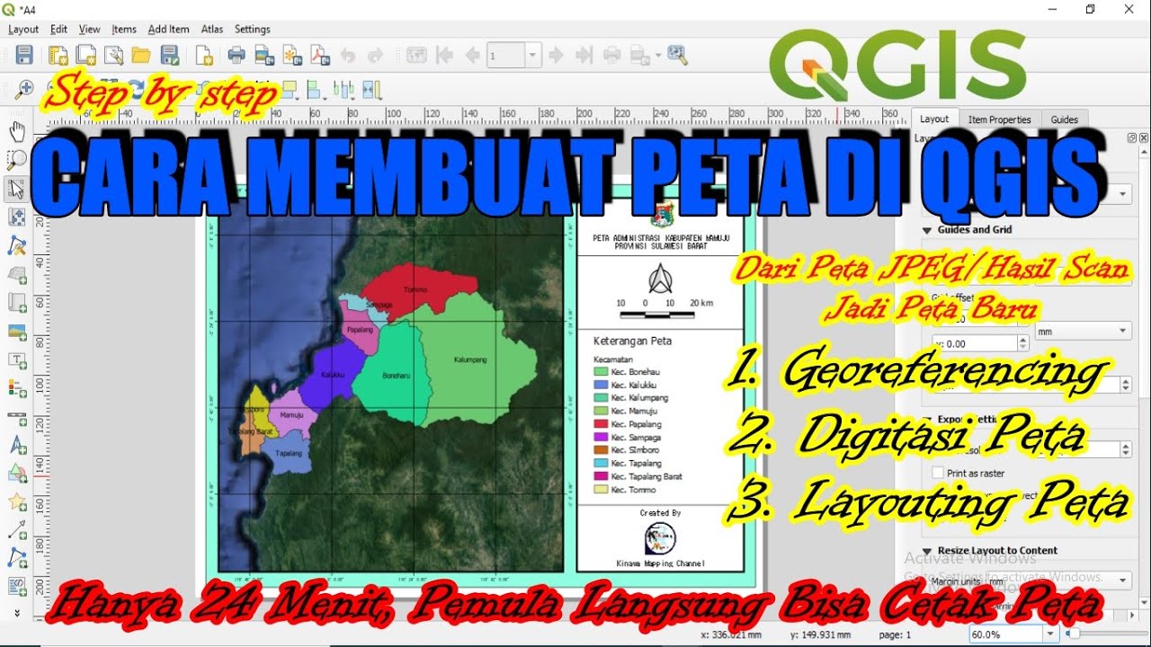
Cara Membuat Peta di QGis (Georeferencing, Digitasi, Layout)
Rupa-Rupa Peta Rupa Bumi | Unsur, Komponen, Legenda

TUTORIAL MEMBUAT PETA KEMIRINGAN LERENG | ARCGIS
5.0 / 5 (0 votes)
