Radar Plotting (Part 1 of 2): Determine CPA, TCPA, BCPA, BCR, BCT, DRM & RS | with a 6-Minute Rule
Summary
TLDRThis video provides an in-depth guide for maritime students and radar operators, focusing on radar plotting for collision avoidance when ARPA (Automatic Radar Plotting Aid) fails. It covers the process of gathering key radar data, plotting target positions, calculating vital parameters like CPA (Closest Point of Approach), and determining the target's relative motion. The video explains how to use tools like the Electronic Bearing Line (EBL) and Variable Range Marker (VRM) to track targets, calculate relative speed, and determine critical metrics like Bow Crossing Range (BCR) and Bow Crossing Time (BCT). Part two expands on advanced plotting and collision avoidance actions.
Takeaways
- 😀 Marine Radars, often integrated with ARPA (Automatic Radar Plotting Aid), automatically acquire and track targets for vital collision avoidance information.
- 😀 ARPA provides key data such as true course, speed, closest point of approach (CPA), and time of CPA, though it can fail to deliver in certain situations.
- 😀 In the event of ARPA failure, radar data (bearing and range) can still be used to plot targets for collision avoidance.
- 😀 To begin plotting a target, you need to gather the target's bearing and range from the radar using Electronic Bearing Line (EBL) and Variable Range Marker (VRM).
- 😀 After the first observation, a second observation is required to determine collision avoidance data using the 6-minute rule.
- 😀 The first observation is plotted on a radar plotting sheet, where you mark the target's position relative to the own ship and erase the bearing line for clarity.
- 😀 The second observation, taken after 6 minutes, allows you to plot the target's new position and draw a Relative Motion Line (RML) for the target's movement.
- 😀 To determine the closest point of approach (CPA), you must draw a perpendicular line from the RML to own ship's position, marking the intersection as the CPA.
- 😀 To calculate the time of CPA (TCPA), the relative speed of the target is calculated, followed by determining the time to reach CPA using the formula: time = distance / speed.
- 😀 The Bow Crossing Range (BCR) is the distance from the own ship's position to the point where the target crosses the ship's bow, calculated using the RML intersection.
- 😀 The Bow Crossing Time (BCT) is calculated similarly to TCPA, determining how long it takes for the target to cross the own ship's bow from the second plotted position.
Q & A
What is ARPA and how does it function in marine radar systems?
-ARPA (Automatic Radar Plotting Aid) is integrated into modern marine radar systems to automatically acquire and track targets. It uses radar data along with computational algorithms to calculate and provide vital information like the true course, speed, closest point of approach (CPA), time of CPA, bow crossing range (BCR), and bow crossing time (BCT).
What happens when ARPA fails in a marine radar system?
-When ARPA fails, the radar can only provide the bearing and distance of observed targets. In such cases, manual plotting tools are used to determine critical data for collision avoidance, such as target's course, speed, and CPA.
How do you gather information from radar for collision avoidance when ARPA is down?
-When ARPA is not functioning, radar information like the bearing and range of observed targets is gathered using electronic bearing lines (EBL) and variable range markers (VRM). These tools help plot the target’s position manually for further analysis.
What is the purpose of the 6-minute rule in radar plotting?
-The 6-minute rule is used to calculate the relative speed and position of a target by comparing two observations made at a 6-minute interval. This helps determine the target's direction, relative speed, CPA, and other vital information for collision avoidance.
How do you plot the target’s position on a radar plotting sheet?
-To plot the target’s position, the own ship's course is first marked on the sheet, followed by noting the target’s bearing and range from the radar. After measuring the distance with a compass divider, the target’s position is plotted on the sheet. A line is then drawn between two plotted positions to represent the target's motion.
What is the Relative Motion Line (RML) and how is it used?
-The Relative Motion Line (RML) represents the relative motion of a target in relation to the own ship. It is drawn between two plotted positions and helps determine the direction of the target's movement. The RML is essential in calculating the CPA, BCR, and other navigational data.
How do you calculate the Closest Point of Approach (CPA)?
-The CPA is determined by drawing a line perpendicular to the Relative Motion Line (RML) from the own ship’s position. The intersection point is where the closest distance between the two vessels occurs if both maintain their present courses and speeds.
What is the formula used to calculate the relative speed of a target?
-The relative speed is calculated using the formula: speed = distance/time. The distance is measured between two plotted positions, and the time is the elapsed time between observations. For example, if the distance is 3.1 nautical miles and the time is 6 minutes, the relative speed is 31 knots.
How is the Bow Crossing Range (BCR) determined?
-The BCR is the distance when the target crosses the own ship's bow or stern. It is measured by determining where the Relative Motion Line (RML) intersects with the ship’s heading and calculating the distance using the radar’s range scale.
What steps are involved in calculating the Bow Crossing Time (BCT)?
-To calculate BCT, you measure the distance from the target’s second plotted position to the point where the target will cross the own ship's bow. Then, divide this distance by the target’s relative speed to find the time, and convert it into minutes for accuracy.
Outlines

此内容仅限付费用户访问。 请升级后访问。
立即升级Mindmap

此内容仅限付费用户访问。 请升级后访问。
立即升级Keywords

此内容仅限付费用户访问。 请升级后访问。
立即升级Highlights

此内容仅限付费用户访问。 请升级后访问。
立即升级Transcripts

此内容仅限付费用户访问。 请升级后访问。
立即升级浏览更多相关视频

WK 7 MOD 2 NAV6 LEC

Cara Pasang Otomatis Pompa Air Dengan Kontaktor, Selector Switch dan Radar #pompaair

Alat-alat Navigasi dikapal dan Fungsinya | Kerja Kapal
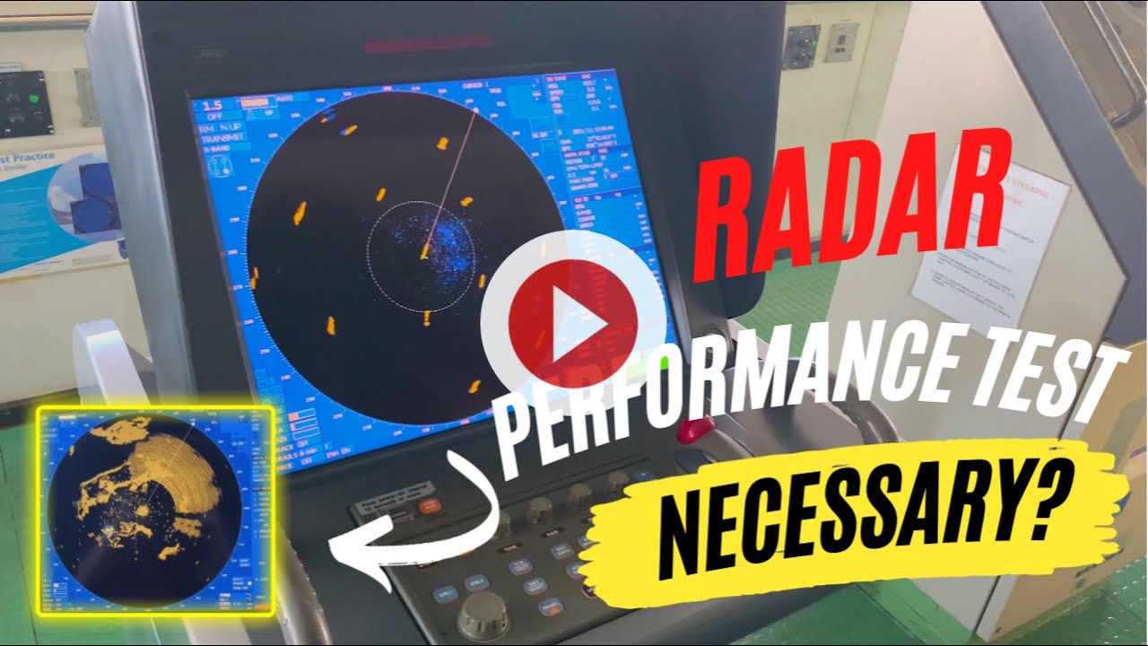
How to Conduct Radar Performance Test | Informative Vlog by The Sailing Master
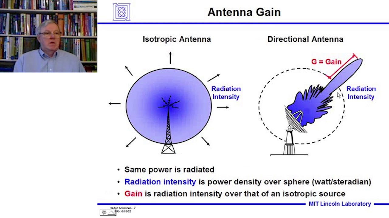
Introduction to Radar Systems – Lecture 6 – Radar Antennas; Part 1

Industrial Radar Sensors: Robust Sensing Principle under Extreme Environmental Conditions
5.0 / 5 (0 votes)
