Megathrust Menghantui, Warga RI Diminta Waspada
Summary
TLDRThe video script discusses the potential threat of a megathrust earthquake in Indonesia, which could trigger a devastating tsunami affecting coastal areas. While the Indonesian Meteorological, Climatological, and Geophysical Agency (BMKG) cannot predict when such a disaster might occur, they are actively preparing mitigation strategies. Additionally, the video addresses public concerns over recent 'tsunami clouds' that have appeared, explaining them as arcus clouds, not connected to seismic activity. The script emphasizes the importance of government readiness, disaster simulations, and public education to minimize risks and enhance preparedness.
Takeaways
- 🌍 The Megathrust earthquake is becoming a major concern for Indonesians due to its potential to trigger a massive tsunami that could devastate coastal areas.
- 📉 The BMKG (Meteorology, Climatology, and Geophysics Agency) cannot predict when the megathrust earthquake will occur but has taken various anticipatory measures.
- 🌊 A recent online phenomenon caused concern over 'tsunami clouds,' but BMKG clarified that these are actually 'arcus clouds,' often appearing during the transition from dry to rainy season.
- ⛅ 'Tsunami clouds,' while visually striking, are unrelated to any seismic or tsunamic events, according to BMKG, and occur typically between September and February.
- ⚠️ There are 13 zones in Indonesia particularly vulnerable to megathrust earthquakes, including zones around the Mentawai, Sunda Strait, and West Java.
- 🌀 The Megathrust in the Sunda Strait and West Java region could potentially trigger a tsunami that may even impact northern coastal areas of Jakarta, despite the city not facing the Indian Ocean directly.
- 📊 Historical data shows that Jakarta has experienced tsunamis three times, with notable events occurring in 1757, 1863, and 1883.
- 📍 Some of the highest-risk areas for megathrust earthquakes include Aceh-Andaman (with a potential magnitude of 9.2), Mentawai-Siberut, and North Sulawesi.
- 🏢 To mitigate the risk, Jakarta's local government plans to conduct simulations in October 2024, preparing for potential megathrust scenarios across administrative offices.
- 💡 Government efforts are focusing on infrastructure preparedness, early warning systems, public education, and simulation exercises to minimize the potential disaster impact.
Q & A
What is a megathrust earthquake?
-A megathrust earthquake is a very large earthquake that occurs in a subduction zone where one tectonic plate is forced beneath another. It is caused by the buildup and release of strain along these zones, often resulting in extremely powerful earthquakes.
What is the potential risk of a megathrust earthquake in Indonesia?
-Indonesia is at high risk of megathrust earthquakes, especially in areas like the Sunda Strait, Mentawai, and several other zones. These earthquakes have the potential to trigger massive tsunamis that could devastate coastal areas.
Has the Indonesian Meteorological, Climatological, and Geophysical Agency (BMKG) provided any predictions for when a megathrust earthquake might occur?
-BMKG has not been able to predict exactly when a megathrust earthquake will occur but continues to monitor seismic activity and encourages preparedness measures.
What is an 'arcus cloud,' and why was it mistaken for a tsunami cloud?
-An arcus cloud is a horizontal, roll-shaped cloud that typically forms during the transition from dry to wet seasons. It was mistaken for a 'tsunami cloud' due to its wave-like appearance, but BMKG clarified that it has no connection to seismic or tsunami activity.
How many megathrust zones exist in Indonesia?
-There are at least 13 megathrust zones across Indonesia, including areas like the Sunda Strait, Mentawai, Sulawesi, and Papua.
What is the historical significance of the 13 megathrust zones in Indonesia?
-Some of these zones have already experienced large earthquakes, with segments like Mentawai being divided into new sections due to past seismic activity. These areas are closely monitored for future potential quakes.
What is the potential magnitude of earthquakes in Indonesia's megathrust zones?
-The potential magnitudes of earthquakes in these zones range from 7.8 to 9.2, with the highest risk in areas like Aceh-Andaman (9.2), Mentawai (8.9), and Java (8.7).
Could a megathrust earthquake affect Jakarta?
-Yes, although Jakarta does not directly face the Indian Ocean, it could still be impacted by tsunami waves generated from large megathrust earthquakes in the Sunda Strait or West Java.
What past tsunamis have affected Jakarta?
-Jakarta has experienced tsunamis three times in history: in 1757, 1863, and 1883. The most significant occurred in 1757 when water levels in the Ciliwung River rose dramatically.
What steps is the government taking to prepare for a potential megathrust earthquake?
-The government is organizing disaster preparedness simulations, including a megathrust earthquake drill scheduled for October 2024 in Jakarta. Additionally, BPBD Jakarta is working on infrastructure assessments, early warning systems, and public education on earthquake readiness.
Outlines

此内容仅限付费用户访问。 请升级后访问。
立即升级Mindmap

此内容仅限付费用户访问。 请升级后访问。
立即升级Keywords

此内容仅限付费用户访问。 请升级后访问。
立即升级Highlights

此内容仅限付费用户访问。 请升级后访问。
立即升级Transcripts

此内容仅限付费用户访问。 请升级后访问。
立即升级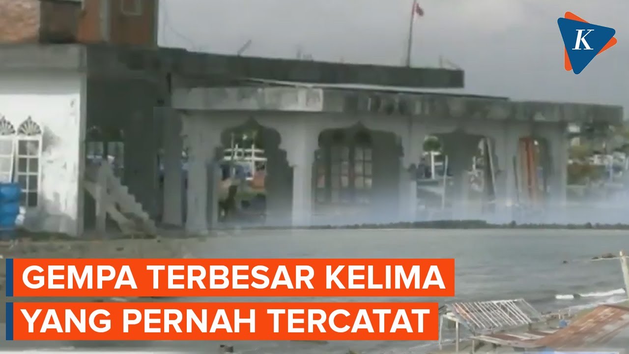


5.0 / 5 (0 votes)
