ILMU UKUR TANAH MENGHITUNG KOORDINAT
Summary
TLDRThis lecture provides a comprehensive guide to calculating coordinates using polygon measurements. The instructor explains how to determine azimuths, apply trigonometric functions to find changes in X and Y coordinates (ΔX, ΔY), and then use these values to calculate the final coordinates of points B, C, and D. The process involves using known data like angles and distances between points, then applying formulas to determine the positions of the points in a surveying context. The session concludes with a practical exercise, encouraging students to apply the method to similar problems for better understanding.
Takeaways
- 😀 The lesson focuses on calculating coordinates based on polygon measurements, continuing from previous lessons on polygon surveying.
- 😀 Known data includes the coordinates at point A, distances between points, and azimuths (angles) between the points.
- 😀 The lesson demonstrates how to use given angles and distances to calculate unknown coordinates (B, C, D).
- 😀 Azimuth calculations are essential for determining the direction between points, and they are derived by using specific formulas involving known angles and distances.
- 😀 Trigonometric formulas (sine and cosine) are used to calculate changes in the X and Y coordinates (ΔX, ΔY).
- 😀 The X-coordinate and Y-coordinate of each point are determined step-by-step, starting from known coordinates at point A.
- 😀 The azimuth from point A to B, and from B to C, are calculated using the given angle and known distances, with specific formulas for each segment.
- 😀 For each segment, the change in X (ΔX) is calculated using the sine of the azimuth, while the change in Y (ΔY) is calculated using the cosine of the azimuth.
- 😀 After calculating ΔX and ΔY for each segment, the coordinates for points B, C, and D are progressively derived and added to the initial known coordinates.
- 😀 Students are encouraged to practice with similar exercises to enhance understanding, and the instructor offers further support through group discussions if needed.
Q & A
What is the main topic of the lecture in the transcript?
-The main topic of the lecture is about calculating coordinates based on polygon measurements, which is an extension of the previous lesson on polygon measurement.
What are the key known values provided in the example for calculating coordinates?
-The key known values are the coordinates of point A (80, 250), azimuths between points (such as azimuth from A to B, A to C, B to D), and distances between the points (100m from A to B, 150m from B to C, and 200m from C to D).
What is the purpose of creating a table in the process described?
-The purpose of creating a table is to organize the data for each point, including angles, distances, and coordinates, which helps in simplifying the calculation process and verifying results.
How is the azimuth from point B to C calculated?
-The azimuth from point B to C is calculated by adding the azimuth from A to B and the angle between points A and C (215°), then subtracting 180°. The result is 95°.
What formula is used to calculate Delta X between points?
-Delta X is calculated using the formula: Delta X = Distance * sin(Azimuth), where the distance is the known distance between two points, and the azimuth is the angle between them.
How is Delta Y calculated differently from Delta X?
-Delta Y is calculated using the cosine formula instead of sine. The formula is: Delta Y = Distance * cos(Azimuth), where the distance is the known distance between two points, and the azimuth is the angle between them.
What does the final step of the calculation involve?
-The final step involves calculating the coordinates of points B, C, and D by adding the respective Delta X and Delta Y values to the known coordinates of point A.
What do the coordinates of points A, B, C, and D represent in the calculation?
-The coordinates of points A, B, C, and D represent the positions of those points in a coordinate system, determined based on the given distances, angles, and azimuths.
What is the importance of the azimuth in this type of coordinate calculation?
-The azimuth is crucial because it represents the direction from one point to another, which helps in determining the relative positions of the points in the coordinate system.
How can students practice what was discussed in the lecture?
-Students are encouraged to practice by calculating the coordinates using the same methods discussed, applying their own data, and performing similar calculations on their own to reinforce their understanding.
Outlines

This section is available to paid users only. Please upgrade to access this part.
Upgrade NowMindmap

This section is available to paid users only. Please upgrade to access this part.
Upgrade NowKeywords

This section is available to paid users only. Please upgrade to access this part.
Upgrade NowHighlights

This section is available to paid users only. Please upgrade to access this part.
Upgrade NowTranscripts

This section is available to paid users only. Please upgrade to access this part.
Upgrade NowBrowse More Related Video
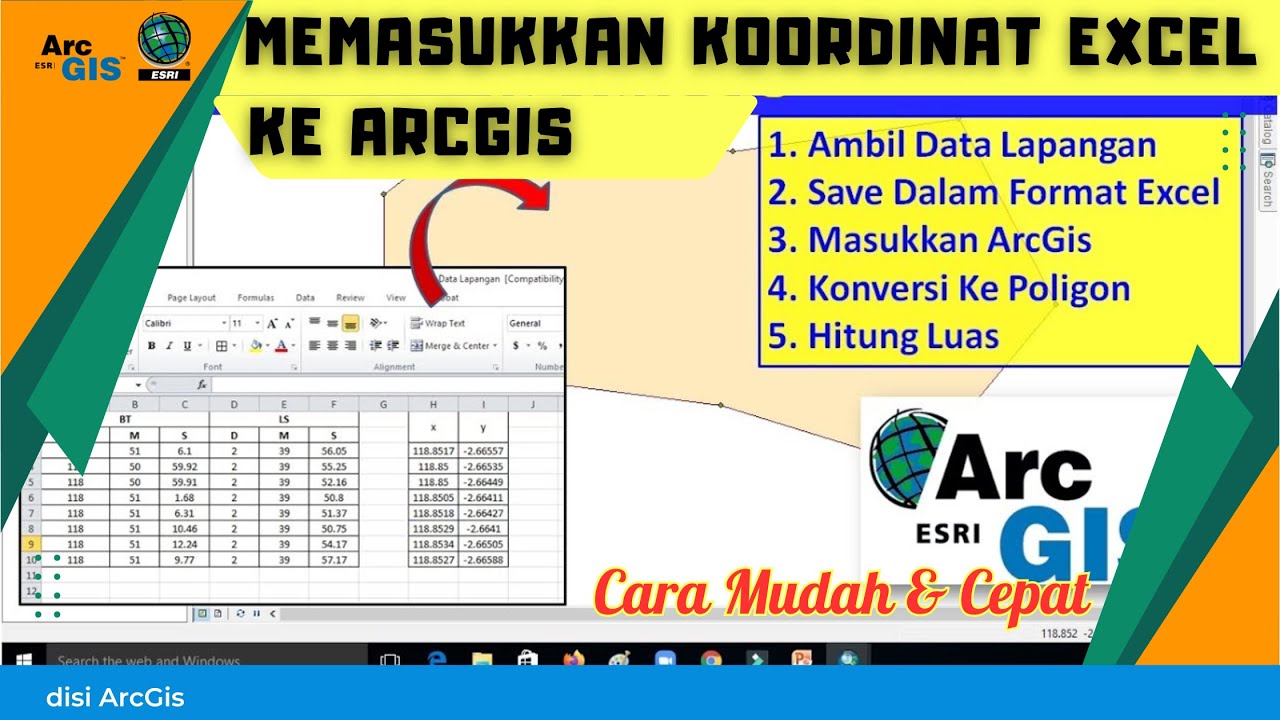
Cara Memasukkan Koordinat Format Excel ke Dalam ArcGIS

Calcular coordenadas UTM
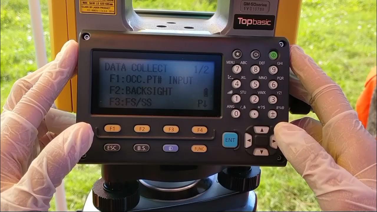
Cara Pengukuran Detail Situasi dengan Alat Total Station Topcon GM-55

Pengukuran Poligon Tertutup dan Detail pada Theodolite

ILMU UKUR TANAH PERHITUNGAN LUAS

BISNIS BILLIARD JANGAN SALAH PERHITUNGAN!!! TIPS DAN TRICK LENGKAP SECARA MENDETAIL!!!
5.0 / 5 (0 votes)