ILMU UKUR TANAH PERHITUNGAN LUAS
Summary
TLDRThis video focuses on land measurement, specifically the calculation of land area and volume. It covers basic concepts of calculating area for various shapes like squares, rectangles, and triangles, as well as using coordinates for irregularly shaped land. The process involves a step-by-step guide on applying coordinate-based calculations, ensuring accurate results when mapping land for construction projects. The tutorial also introduces tools like Excel for organizing data and stresses the importance of precise measurements. The session concludes with a brief mention of the upcoming content on volume calculation in the next lesson.
Takeaways
- 😀 Introduction to land measurement: The purpose is to calculate the area and volume of a land plot for planning buildings or roads.
- 😀 Basic geometry: Review of simple area formulas for common shapes like rectangles, squares, circles, and triangles.
- 😀 Area calculation for regular shapes: Use basic formulas like Length × Width for rectangles or Side² for squares.
- 😀 Coordinate-based area calculation: Explanation of how to calculate area using the coordinates of the land's corners (X, Y).
- 😀 Step-by-step guide for calculating area using coordinates: Multiply X by Y for each pair of coordinates, sum the results, and apply the formula to find the area.
- 😀 Special case for irregular shapes: The land can be divided into smaller regular shapes to simplify area calculation.
- 😀 Using software like AutoCAD: For more complex land shapes, AutoCAD or similar applications can help compute the area based on coordinates.
- 😀 Accurate calculations require correct coordinates: Ensure the coordinates are accurate to get a reliable result.
- 😀 Practice exercise: Learners are encouraged to modify coordinate values and calculate areas in Excel for hands-on practice.
- 😀 Future topics: Next session will focus on calculating volume, following the foundational area calculation techniques.
Q & A
What is the main focus of the script?
-The main focus of the script is teaching how to calculate the area and volume of land using different methods, including the use of coordinates.
What are the basic shapes discussed for area calculation?
-The script discusses basic shapes such as rectangles, squares, circles, and triangles for area calculation.
How is the area of a rectangular land calculated in the script?
-The area of a rectangular land is calculated by multiplying its length by its width (Area = Length × Width).
What method is used to calculate the area based on coordinates?
-To calculate the area based on coordinates, the script suggests creating a table with the x and y coordinates for each point of the land. Then, a specific formula is applied, involving multiplication and addition of the coordinates in a systematic way.
How is the formula for coordinate-based area calculation applied in the script?
-The coordinates are entered in a table, and then for each pair of points (A, B, C, D, etc.), the x-coordinate of one point is multiplied by the y-coordinate of the next point. The results are then summed up, and the final area is calculated by subtracting and dividing the values.
What is the significance of dividing the area by 2 in the coordinate calculation method?
-Dividing the sum of the multiplied values by 2 is a necessary step to obtain the correct area when using coordinates, as it helps to adjust the calculation for the land's shape.
What happens if the land has an irregular shape?
-If the land has an irregular shape, the script suggests dividing it into smaller, manageable shapes like triangles or rectangles. You can then apply the same coordinate-based method to calculate the area of each smaller shape.
How can software like AutoCAD be used for land area calculations?
-Software like AutoCAD can be used to measure land area by inputting the coordinates of the land's boundaries. The program can then automatically calculate the area based on those coordinates.
What is the importance of accurate coordinates in land measurement?
-Accurate coordinates are crucial because they ensure the precision of the area calculation. If the coordinates are incorrect, the resulting area and volume measurements will be inaccurate.
How can the knowledge from this lesson be applied in real-world scenarios?
-The knowledge from this lesson can be applied in real-world scenarios such as land surveying, planning construction projects, and calculating volumes for building or infrastructure projects.
Outlines

This section is available to paid users only. Please upgrade to access this part.
Upgrade NowMindmap

This section is available to paid users only. Please upgrade to access this part.
Upgrade NowKeywords

This section is available to paid users only. Please upgrade to access this part.
Upgrade NowHighlights

This section is available to paid users only. Please upgrade to access this part.
Upgrade NowTranscripts

This section is available to paid users only. Please upgrade to access this part.
Upgrade NowBrowse More Related Video
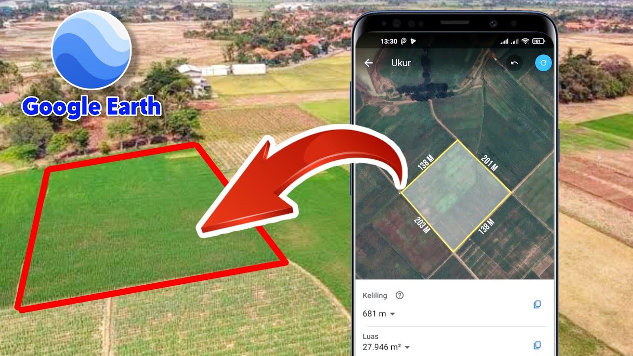
Cara Mengukur Luas Tanah Menggunakan Aplikasi Google Earth
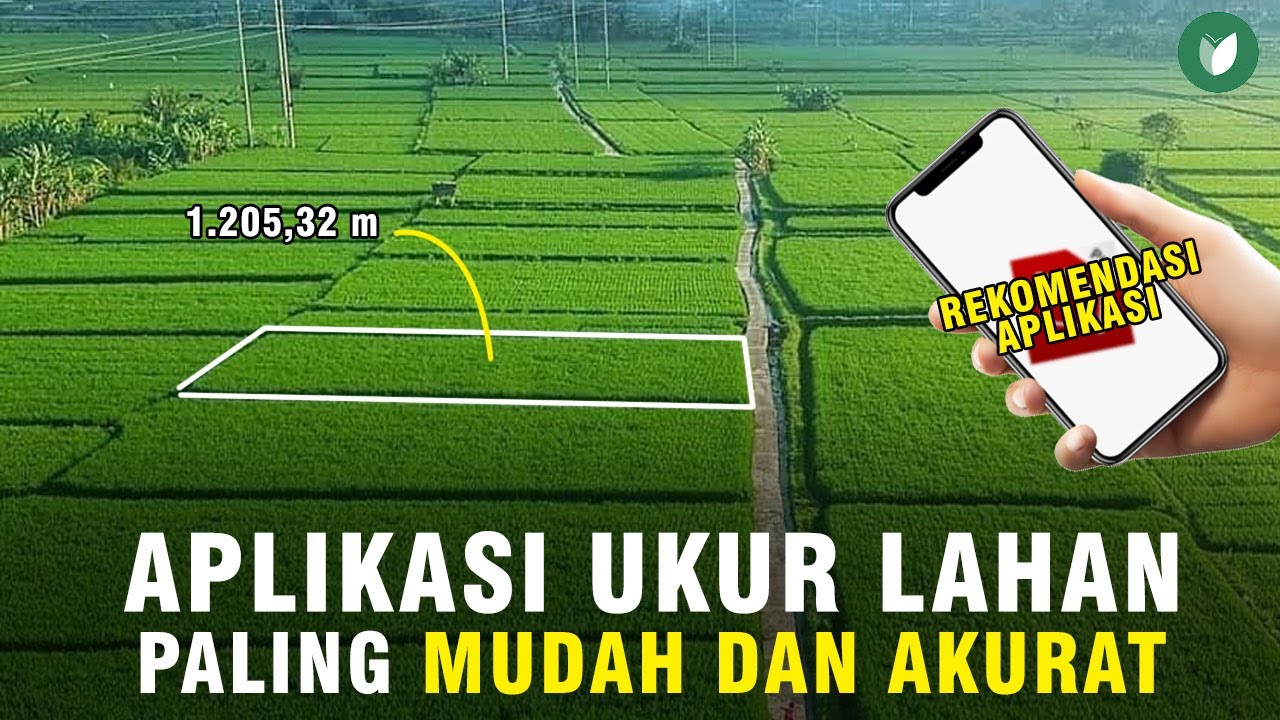
CARA MENGUKUR LUAS LAHAN SAWAH PALING MUDAH TANPA GOOGLE EARTH/MAPS | APLIKASI ANDROID TERBAIK
Tutorial Image Classification (Supervised) Menggunakan ArcGIS
Download Free Land Cover data from Earth Explorer / USGS

ÁREA E PERÍMETRO | RESOLUÇÃO DE PROBLEMAS | EXERCÍCIOS

Module 4 Topic 3
5.0 / 5 (0 votes)