BELAJAR QGIS - Part 2: Georeferencing dan Proyeksi
Summary
TLDRIn this tutorial, Aliando guides viewers through the process of georeferencing raster data, explaining both the geographic and UTM coordinate systems. He demonstrates two methods: using reference points and ground control points. The video covers essential GIS concepts like raster and vector data, the importance of spatial references, and how to convert geographic coordinates into UTM. Aliando walks through the practical steps of georeferencing images in GIS software, ensuring viewers understand key concepts like projection systems, coordinate transformation, and managing potential distortions in the data. The tutorial provides valuable insights for those looking to enhance their GIS skills.
Takeaways
- 😀 Georeferencing is the process of assigning spatial references to data, such as maps or images, to make them recognizable within a coordinate system.
- 😀 The tutorial introduces two georeferencing methods: Point Reference and Ground Control Points (GCP).
- 😀 Georeferencing with Point Reference involves manually aligning known reference points on a map to corresponding coordinates.
- 😀 Ground Control Points (GCP) can also be used to georeference images by identifying distinct features in the image and matching them with known coordinates.
- 😀 In GIS, there are two major data types: raster (represented by pixels, like images) and vector (represented by geometric shapes like points and lines).
- 😀 To start a GIS project, it's important to select the appropriate coordinate system. The default system is WGS 84, commonly used for global positioning.
- 😀 Georeferencing helps resolve issues where maps or images lack coordinate systems, ensuring they are positioned accurately on Earth.
- 😀 When using raster data without georeferencing, the image will be placed randomly, often leading to confusion if the spatial references are missing.
- 😀 Different coordinate systems, such as geographic (degrees, minutes, seconds) and UTM (Universal Transverse Mercator), are used for varying levels of accuracy and projection types.
- 😀 The tutorial emphasizes that while there may be slight distortions when switching between coordinate systems, both geographic and UTM projections provide relatively accurate results.
- 😀 To achieve more precise georeferencing, it's important to add more ground control points (GCPs), which reduce distortion and improve accuracy.
Q & A
What is the main focus of this tutorial?
-The main focus of this tutorial is georeferencing, where the user learns how to assign spatial references to raster data. It covers two methods: using reference points and using ground control points. The tutorial also discusses coordinate systems and projections, specifically converting geographic coordinates into UTM (Universal Transverse Mercator).
What are raster and vector data in Geographic Information Systems (GIS)?
-In GIS, raster data represents information in the form of pixels, such as images or photographs. Vector data, on the other hand, is represented as geometric shapes such as points, lines, and polygons, commonly used for features like roads, buildings, or boundaries.
What is georeferencing, and why is it important?
-Georeferencing is the process of assigning real-world coordinates to a raster image so that it can be accurately placed on a map. Without georeferencing, a map or image might not align with actual locations, causing the system to misplace data, like showing an image in the middle of the ocean when it should be on land.
What are the two coordinate systems discussed in this tutorial?
-The two coordinate systems discussed are Geographic Coordinate System (GCS), which uses degrees, minutes, and seconds, and Universal Transverse Mercator (UTM), which uses a Cartesian grid with values expressed in meters.
How can geographic coordinates and UTM coordinates be differentiated?
-Geographic coordinates use angles (degrees, minutes, seconds) based on the Earth's spherical geometry, whereas UTM coordinates represent positions on a flat, rectangular grid, often in meters, and are used for mapping regions on a local level.
What is the significance of the WGS84 system mentioned in the tutorial?
-WGS84 (World Geodetic System 1984) is the default geographic coordinate system used globally. It serves as the standard for positioning data, ensuring consistent and accurate georeferencing across different maps and applications.
What happens if a raster image is used without georeferencing?
-If a raster image is not georeferenced, the system will not know where to position it in relation to other spatial data. The image may appear in an incorrect location, like in the ocean instead of the correct geographic area.
What are the two methods used for georeferencing in this tutorial?
-The two methods for georeferencing covered in the tutorial are using reference points (manual assignment of spatial coordinates based on known locations) and using ground control points (specific known coordinates marked on the map to align the raster image correctly).
What should be done when performing georeferencing with ground control points?
-When using ground control points, you need to select specific, identifiable features on the raster image and manually enter the corresponding real-world coordinates. This process aligns the raster image with the map and ensures accuracy in its positioning.
Why is it important to choose the correct coordinate system during georeferencing?
-Choosing the correct coordinate system is crucial because it ensures that the georeferenced image aligns properly with other spatial data. Using the wrong system can lead to inaccuracies and distortions in the map, making it unreliable for analysis.
Outlines

This section is available to paid users only. Please upgrade to access this part.
Upgrade NowMindmap

This section is available to paid users only. Please upgrade to access this part.
Upgrade NowKeywords

This section is available to paid users only. Please upgrade to access this part.
Upgrade NowHighlights

This section is available to paid users only. Please upgrade to access this part.
Upgrade NowTranscripts

This section is available to paid users only. Please upgrade to access this part.
Upgrade NowBrowse More Related Video

10 May 2025

Cara Digitasi Peta Di ArcGIS Bagi Pemula Part 1

Lecture 46: Introduction to QGIS and Data Import (Hands on By: Chandan M C)
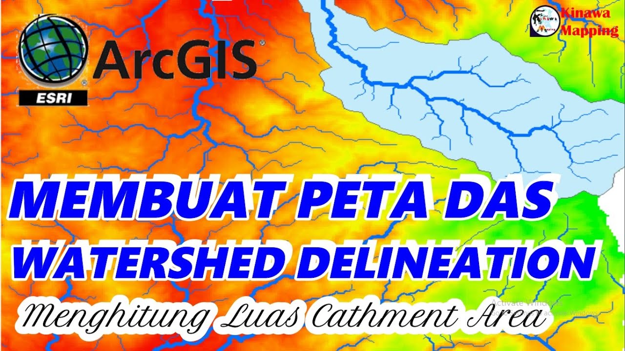
Cara Membuat Peta DAS dan Menghitung Luas Catchment Area di ArcGis | Watershed Delineation on ArcGIS

Jenis Data Pada Sistem Informasi Geografis
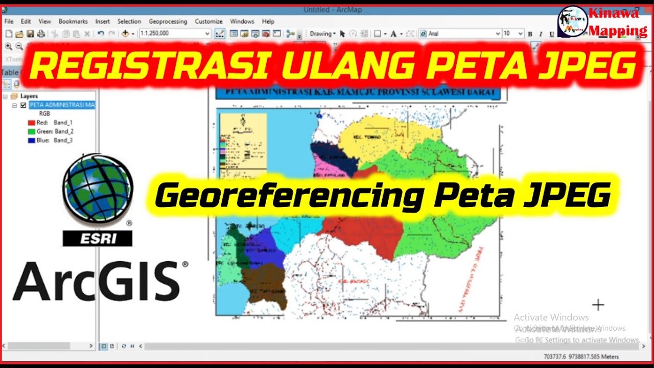
Registrasi Ulang Peta JPEG di ArcGis
5.0 / 5 (0 votes)