GIS Module 11: Spatial Modeling
Summary
TLDRThis video module focuses on spatial modeling, extending concepts from topography to spatial analysis by combining multiple data layers for in-depth analysis. The key techniques discussed include spatial joins, zonal statistics, distance analysis, and cost-weighted distance. The module also explores raster algebra, reclassification, and spatial modeling to derive practical insights, such as identifying suitable locations for solar panels. Using real-world examples, such as evaluating accessibility and terrain, the module emphasizes how to process and combine data layers to create a model that can inform decisions on land use, environmental management, and more.
Takeaways
- 😀 Spatial modeling involves combining multiple data layers to analyze spatial relationships and understand real-world phenomena.
- 😀 A model is a simplified representation of reality, helping to describe, understand, or predict specific processes or patterns.
- 😀 A spatial join allows us to combine two layers based on their spatial relationship, creating a permanent connection between them.
- 😀 Zonal statistics summarize raster variation based on vector regions or classified rasters, offering summary tables or new rasters.
- 😀 Euclidean distance is a simple straight-line measurement, while cost-weighted distance incorporates travel difficulty based on surface characteristics.
- 😀 Cost-weighted distance analysis factors in barriers like hills or obstacles, enabling more realistic modeling of travel between points.
- 😀 Spatial modeling combines multiple factors, such as slope, orientation, and proximity to features (e.g., roads) to make decisions on real-world applications.
- 😀 Reclassification in spatial analysis involves adjusting raster values to make them more comparable, often by scaling or categorizing them based on importance.
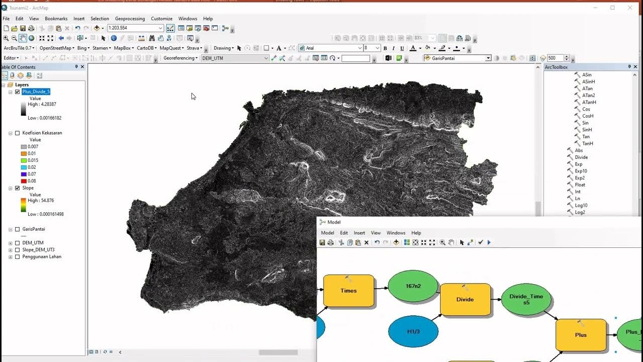
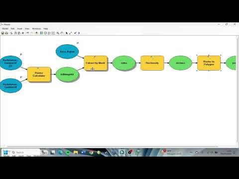
- 😀 In spatial modeling, raster algebra or complex calculations are used to combine and manipulate different data layers to reflect real-world complexity.
- 😀 A practical example of spatial modeling involves determining suitable solar panel locations by combining slope, orientation, and distance from roads.
- 😀 The final model in spatial analysis can either categorize locations as suitable/unsuitable or rank them based on multiple criteria, offering flexibility in decision-making.
Q & A
What is spatial analysis in the context of this module?
-Spatial analysis involves using various methods to derive information from spatial data. It combines different layers to understand patterns or distributions, and the results change depending on the locations of the objects being analyzed.
What is the role of a model in spatial analysis?
-A model in spatial analysis is a simplified, manageable representation of reality, used to understand, describe, or predict real-world phenomena. Models are not perfect but help in analyzing complex spatial data.
Can you explain the concept of spatial joins?
-Spatial joins link data from two different layers based on their spatial relationship, such as proximity or intersection. This helps combine information, such as finding the nearest river to a city and adding the river's data to the city's attribute table.
What is the purpose of zonal statistics in spatial analysis?
-Zonal statistics summarize the variation of raster data within specific zones, typically defined by polygons or classified rasters. It provides insights like the average elevation for specific regions, helping with further analysis.
How is Euclidean distance calculated, and when is it useful?
-Euclidean distance is the straight-line distance between two points, calculated using the Pythagorean theorem. It is useful for understanding the shortest possible path between locations, but may not always be practical in real-world conditions.
What is cost-weighted distance analysis?
-Cost-weighted distance analysis considers the difficulty of traveling across a surface. It uses a cost raster that weights different surfaces based on factors like slope or obstacles, creating a more realistic distance measure than simple Euclidean distance.
What is the difference between Euclidean distance and cost-weighted distance?
-Euclidean distance calculates the straight-line distance between two points, while cost-weighted distance factors in terrain difficulty and other barriers, providing a more practical measure of travel ease.
How is spatial modeling different from other forms of spatial analysis?
-Spatial modeling combines multiple layers of data using techniques like raster algebra to create a final model that represents a real-world phenomenon. It often involves reclassifying data, weighting layers, and performing complex calculations to simulate specific scenarios.
What is the process of reclassifying data in spatial modeling?
-Reclassifying data involves assigning new values to a raster based on the original values' ranges. This process helps adjust the data into a consistent scale, rank values, or distinguish between suitable and unsuitable areas for a given model.
How was the solar panel suitability model created in the demonstration?
-The solar panel suitability model combined three layers: slope (to identify steep areas), aspect (to identify south-facing slopes), and proximity to roads. Each layer was reclassified, and then the layers were combined using multiplication or addition to produce a final suitability map.
Outlines

This section is available to paid users only. Please upgrade to access this part.
Upgrade NowMindmap

This section is available to paid users only. Please upgrade to access this part.
Upgrade NowKeywords

This section is available to paid users only. Please upgrade to access this part.
Upgrade NowHighlights

This section is available to paid users only. Please upgrade to access this part.
Upgrade NowTranscripts

This section is available to paid users only. Please upgrade to access this part.
Upgrade NowBrowse More Related Video
5.0 / 5 (0 votes)


