Menentukan lintang tempat dengan tongkat istiwa' Oleh Ust Noor Aflah S.H, M.H
Summary
TLDRThis video lecture provides an in-depth explanation on how to measure the latitude of a region using a 'tongkat istiwa' (equatorial rod). The instructor discusses the method of determining latitude by aligning the rod with the sun at the moment of solar culmination. Students learn how to calculate the zenith distance using basic trigonometric formulas and apply this knowledge to practical observations. The lecturer demonstrates the process through a live example, compares the results to GPS data, and encourages students to preserve this traditional method. The video also includes a task for students to create and share a video of their own latitude measurements.
Takeaways
- 😀 The lecture discusses how to determine the latitude of a location using a tongkat istiwa (equatorial stick).
- 😀 Latitude is determined by observing the sun during its culmination, when it's directly overhead a location.
- 😀 A tongkat istiwa can be used to calculate the latitude by measuring the shadow formed when the sun is at its culmination point.
- 😀 To calculate the zenith distance, the formula used is Tan(angle) = shadow length / stick height.
- 😀 The latitude of a location is equal to the sun's declination at that point during culmination.
- 😀 The script introduces two formulas for calculating latitude depending on whether the shadow is in the northern or southern hemisphere.
- 😀 When the shadow is in the northern hemisphere, the formula is latitude = declination + zenith distance.
- 😀 When the shadow is in the southern hemisphere, the formula becomes latitude = declination - zenith distance.
- 😀 The script includes an example where measurements were taken during a practical test at TBS Kudus to calculate the latitude using a tongkat istiwa.
- 😀 For calculating the declination of the sun, the formula involves subtracting or adding the zenith distance to the latitude, depending on the hemisphere of the shadow.
- 😀 The assignment for students is to create a short video demonstrating how to calculate the latitude at their own location using a tongkat istiwa, to be uploaded on social media with a specific hashtag.
Q & A
What is the purpose of using a 'tongkat istiwa' in the script?
-The 'tongkat istiwa' (equatorial stick) is used to measure the latitude of a particular location by observing the shadow cast by the sun at the time of its culmination.
How is the latitude of a place determined using the 'tongkat istiwa'?
-The latitude is determined by measuring the angle formed by the shadow of the 'tongkat istiwa' during solar culmination. The angle is compared to the zenith distance to calculate the latitude of the place.
What is the significance of the solar culmination in determining latitude?
-Solar culmination occurs when the sun is directly overhead at a particular location. This moment allows the measurement of the shadow, which helps in calculating the latitude of the place.
What is the relationship between the sun's declination and the latitude of a place?
-The declination of the sun corresponds to the latitude of a place when the sun is directly overhead. The declination can be used to calculate the latitude by adding or subtracting the zenith distance.
What is the formula used to calculate the zenith distance?
-The zenith distance can be calculated using the formula: Tan(angle) = shadow length / height of the 'tongkat istiwa'. The result gives the zenith distance.
What happens if the shadow is cast to the north or south of the 'tongkat istiwa'?
-If the shadow is cast to the north, the latitude is calculated by adding the zenith distance to the sun's declination. If the shadow is cast to the south, the latitude is calculated by subtracting the zenith distance from the sun's declination.
What method is used to calculate the sun's declination at a given time?
-The sun's declination can be calculated by comparing the zenith distance and the latitude of the location using specific formulas depending on whether the shadow is to the north or south.
What tools are used to measure the shadow of the 'tongkat istiwa'?
-Various objects like pens, markers, or pencils can be used to create a pointed stick, which casts a shadow when positioned vertically for measurement.
How accurate is the method of determining latitude using the 'tongkat istiwa' compared to modern GPS?
-While the method using 'tongkat istiwa' is not as accurate as GPS, it remains a valuable traditional method for determining latitude, relying on basic geometry and the sun's position.
What is the final assignment for students in this astronomy course?
-The final assignment requires students to create a short video demonstrating how to calculate the latitude of a location using the 'tongkat istiwa' and upload it to social media with the appropriate hashtag.
Outlines

This section is available to paid users only. Please upgrade to access this part.
Upgrade NowMindmap

This section is available to paid users only. Please upgrade to access this part.
Upgrade NowKeywords

This section is available to paid users only. Please upgrade to access this part.
Upgrade NowHighlights

This section is available to paid users only. Please upgrade to access this part.
Upgrade NowTranscripts

This section is available to paid users only. Please upgrade to access this part.
Upgrade NowBrowse More Related Video

ER Mapper 7.0 tutorial part 4 (cell coordinates)

Le dilatomètre à cadran
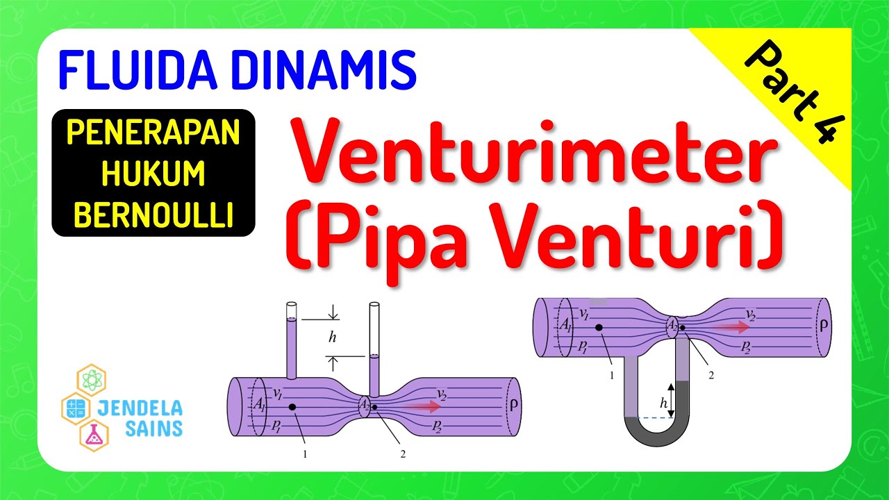
Fluida Dinamis • Part 4: Venturimeter / Pipa Venturi
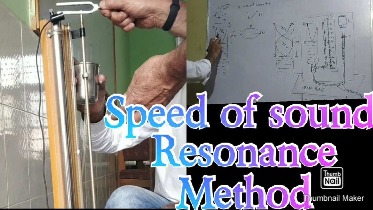
to determine the velocity of sound using resonance tube . two resonance position method class 11th
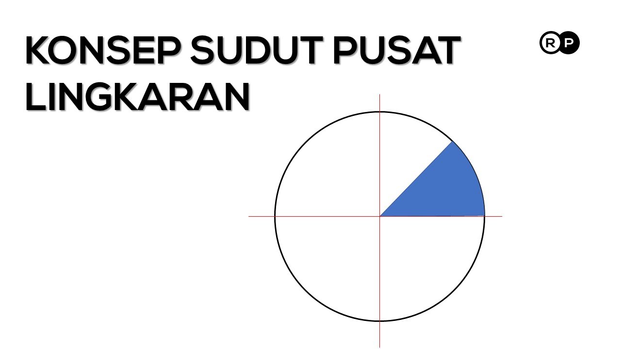
Konsep Pengukuran Sudut Dalam Lingkaran | Pembahasan Soal SMK

Região Norte - Brasil Escola
5.0 / 5 (0 votes)