ArcGIS Pro: Introduction to the interface and overview
Summary
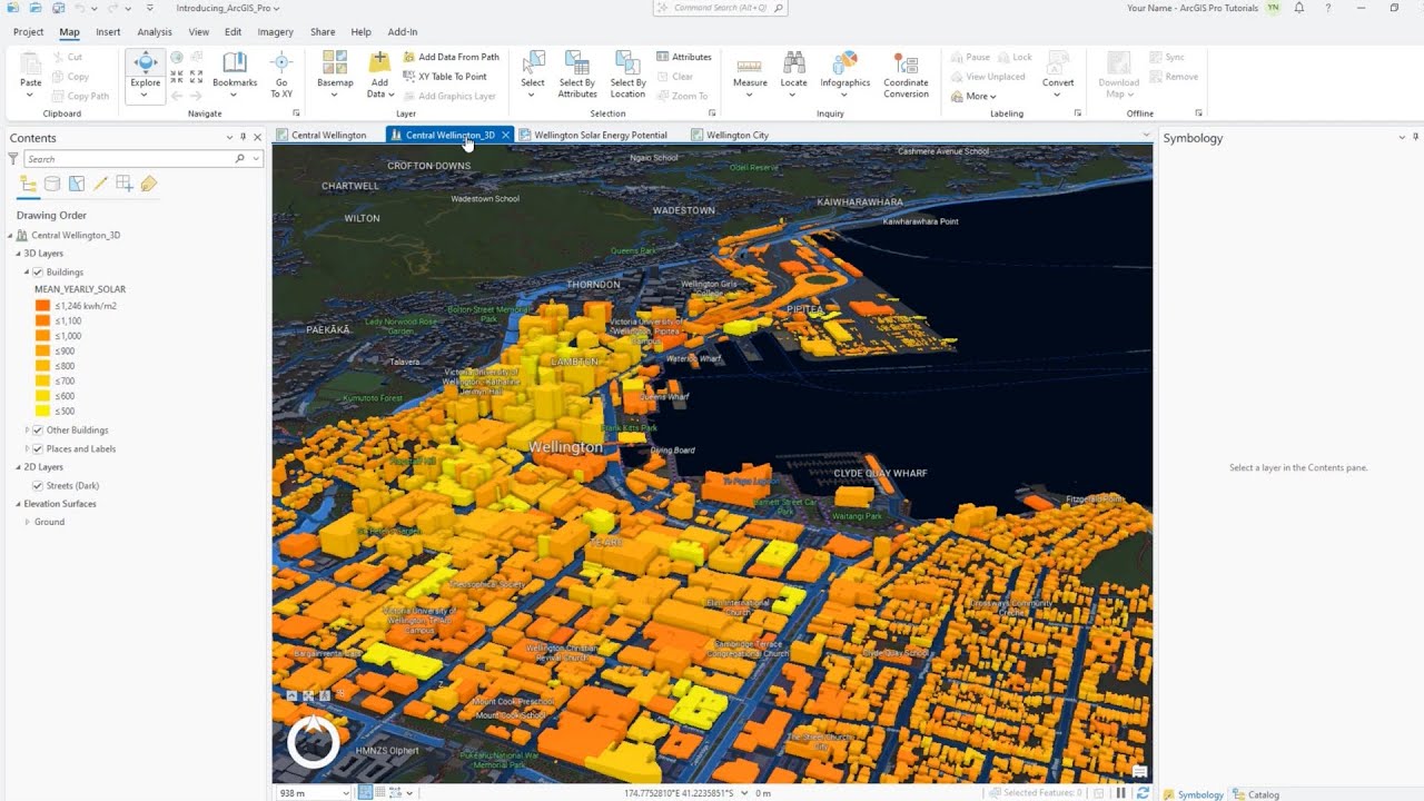
TLDRIn this introductory video on ArcGIS Pro, the presenter outlines the software's integration of various tools and features previously found in separate applications like ArcMap and ArcCatalog. Highlighting its user-friendly interface, the video demonstrates how to manage projects, add data, and utilize an array of analytical tools for geographic tasks. Key functionalities, such as enhanced selection and measurement tools, are explained, showcasing the software's efficiency in data handling and visualization. The presenter encourages viewers to explore the software further, promising more in-depth tutorials in upcoming videos.
Takeaways
- 😀 ArcGIS Pro integrates multiple functionalities into a single platform, unlike ArcGIS Desktop, which operates with separate applications.
- 🗺️ Users can easily create new projects in ArcGIS Pro by naming them and selecting a save location.
- 🌐 An internet connection is necessary to access certain features, including basemaps, in ArcGIS Pro.
- 🔍 The toolbar in ArcGIS Pro includes various tools for exploring, zooming, and selecting features on the map.
- 📊 The software allows users to measure distances and areas directly on the map, enhancing spatial analysis capabilities.
- 📂 Data can be added to ArcGIS Pro by dragging and dropping files or using the 'Add Data' button.
- 🗺️ ArcGIS Pro offers a variety of basemaps, including imagery and street maps, which can be selected based on project requirements.
- 🛠️ The Analysis tab contains updated geoprocessing tools like model builder, buffers, and statistical analyses, streamlining workflows.
- 📦 Sharing projects is made easy through map and mobile map packages, allowing users to distribute their work effectively.
- 🔄 Transitioning from ArcGIS Desktop to ArcGIS Pro involves learning new features and tools but retains many familiar functionalities.
Q & A
What is the primary focus of this video?
-The video focuses on introducing ArcGIS Pro and its features, particularly highlighting how it differs from ArcGIS Desktop.
How long has the presenter been using ArcGIS Desktop before transitioning to ArcGIS Pro?
-The presenter has been using ArcGIS Desktop for the past seven years.
What notable change does ArcGIS Pro introduce regarding the integration of tools?
-ArcGIS Pro integrates multiple tools like ArcMap, ArcCatalog, and ArcScene into a single application, unlike ArcGIS Desktop, which has them as separate entities.
What are some of the options available when starting a new project in ArcGIS Pro?
-When starting a new project, users can choose the project name and specify the location for saving the files.
What type of internet connection is required for some features in ArcGIS Pro?
-ArcGIS Pro requires an internet connection to access certain features, such as base maps.
How does the measurement tool in ArcGIS Pro compare to that in ArcGIS Desktop?
-The measurement tool in ArcGIS Pro provides functionalities for measuring distance and area, similar to what is available in ArcGIS Desktop.
What options does ArcGIS Pro provide for managing base maps?
-ArcGIS Pro offers a variety of base maps, including imagery, street maps, and topographic maps, which users can easily switch between.
What new capabilities does ArcGIS Pro offer regarding data sharing?
-ArcGIS Pro allows users to create map packages and project templates, facilitating easier sharing of large files with clients or colleagues.
What does the selection tool in ArcGIS Pro enable users to do?
-The selection tool in ArcGIS Pro allows users to select features by attributes or location, providing various methods for interacting with the data.
What type of analysis tools are included in ArcGIS Pro?
-ArcGIS Pro includes a toolbox for geoprocessing, model building, and various spatial analysis functions, enhancing the analysis capabilities compared to ArcGIS Desktop.
Outlines

This section is available to paid users only. Please upgrade to access this part.
Upgrade NowMindmap

This section is available to paid users only. Please upgrade to access this part.
Upgrade NowKeywords

This section is available to paid users only. Please upgrade to access this part.
Upgrade NowHighlights

This section is available to paid users only. Please upgrade to access this part.
Upgrade NowTranscripts

This section is available to paid users only. Please upgrade to access this part.
Upgrade Now


5.0 / 5 (0 votes)