Kw
Summary
TLDRThis video provides a step-by-step guide for land measurement and surveying in forest planning. It covers key procedures such as positioning markers, calibrating GPS for accurate coordinate and elevation data, determining azimuth with a compass, and measuring distance and slope between points using tools like a clinometer. The video outlines how to document each step of the survey process, ensuring precision in topographic profile creation and alignment planning. It serves as a practical tutorial for using basic surveying instruments to collect reliable data for forestry projects.
Takeaways
- 😀 Ensure the GPS is calibrated before use to obtain accurate coordinates and elevation.
- 😀 Start by placing a marker (P1) at the survey's starting point to define the area of interest.
- 😀 Mark the surveyor's eye level height to maintain consistency in measurements.
- 😀 Use GPS to determine the exact X, Y coordinates and elevation of the starting point (P1).
- 😀 Use a compass to determine the azimuth (direction) from P1 to the next point (P2).
- 😀 Record the azimuth data from the compass to ensure accuracy in the alignment.
- 😀 After setting the direction, place the next marker (P2) at a point where the land contours change.
- 😀 Measure the distance between P1 and P2 using a tape measure or other tools.
- 😀 Measure the slope between P1 and P2 using a clinometer and record the data for later analysis.
- 😀 Continue the survey by moving to the next point (P3), repeating the process of placing markers, measuring distances, and checking the slope.
- 😀 Ensure that all measurements are carefully recorded in a data sheet to ensure accuracy in the final profile.
Q & A
What is the first step in the land measurement process as described in the script?
-The first step is to place the stake at point P1 or Wpin.
Why is it important to calibrate the GPS before use?
-Calibrating the GPS ensures that the coordinates and elevation data obtained are accurate.
What tool is used to determine the azimuth between points P1 and P2?
-A compass is used to determine the azimuth between points P1 and P2.
What is the purpose of using a clinometer in the process?
-A clinometer is used to measure the slope or gradient between points P1 and P2.
What should be done after determining the direction from P1 to P2?
-Once the direction is determined, the land clearing process (pruning) should be carried out along the defined path.
What is the role of the stake at point P2 in the process?
-The stake at point P2 is placed at a location where there is a change in the contour, marking the end of one segment of the survey.
How is the distance between points P1 and P2 measured?
-The distance between P1 and P2 is measured using a measuring tape or meter.
What action follows the placement of the stake at P2?
-The next step involves conducting a distance and slope measurement from P1 to P2, which is then recorded.
What happens after the measurements are taken at point P2?
-After taking the measurements at P2, the process moves to the next point, which is P3, where similar measurements are made.
What is the final step in the land measurement and mapping procedure?
-The final step involves transferring the stake from P1 to the next point, P3, and then repeating the distance and slope measurements as necessary.
Outlines

このセクションは有料ユーザー限定です。 アクセスするには、アップグレードをお願いします。
今すぐアップグレードMindmap

このセクションは有料ユーザー限定です。 アクセスするには、アップグレードをお願いします。
今すぐアップグレードKeywords

このセクションは有料ユーザー限定です。 アクセスするには、アップグレードをお願いします。
今すぐアップグレードHighlights

このセクションは有料ユーザー限定です。 アクセスするには、アップグレードをお願いします。
今すぐアップグレードTranscripts

このセクションは有料ユーザー限定です。 アクセスするには、アップグレードをお願いします。
今すぐアップグレード関連動画をさらに表示
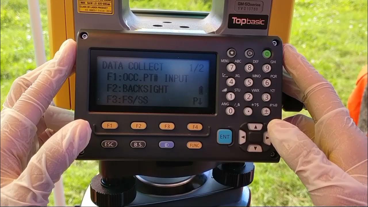
Cara Pengukuran Detail Situasi dengan Alat Total Station Topcon GM-55

Cara Pematokan (Stake Out) dengan Alat Total Station Topcon GM-55
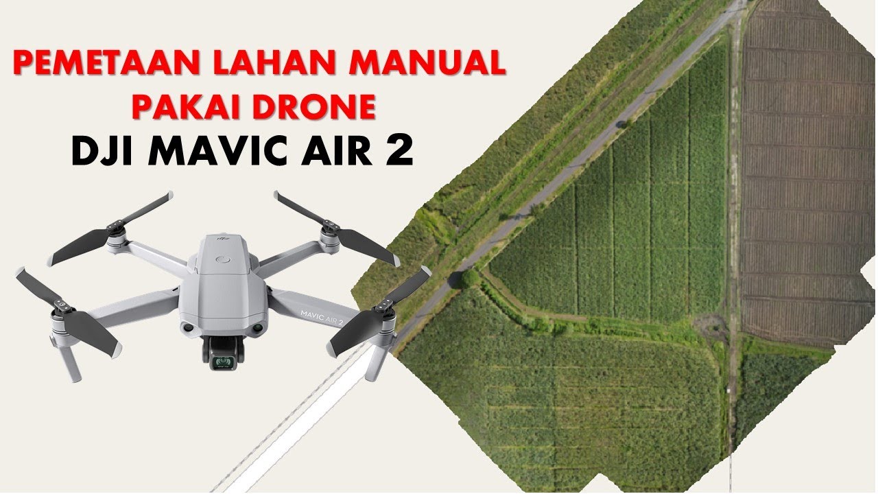
Cara Mapping Lahan dengan Drone MANUAL tanpa aplikasi MAPPING

Cara mengukur tanah menggunakan LASER | ATuMan DUKA LS-1

1 ILMU UKUR TANAH PENDAHULUAN

ILMU UKUR TANAH PERHITUNGAN LUAS
5.0 / 5 (0 votes)
