Cara Mapping Lahan dengan Drone MANUAL tanpa aplikasi MAPPING
Summary
TLDRThis video provides a step-by-step guide to manual drone mapping using a DJI Mavic Air 2, without relying on dedicated mapping software. The process involves flying the drone at a height of 50 meters, capturing images with 60% overlap, and then stitching these photos together using Agisoft to create an orthomosaic map. The final map is exported and analyzed in Quantum GIS for land measurement and comparison with satellite images. Despite being manual, this method offers an effective and accessible way to generate accurate maps for land analysis and measurement, even with basic drone equipment.
Takeaways
- 😀 Using a DJI Mavic Air 2 drone, you can perform manual mapping without using specific mapping applications like DroneDeploy.
- 😀 The drone’s altitude should be set to 50 meters for optimal photo coverage, keeping the camera oriented 90° downward.
- 😀 Maintain a consistent speed and overlap between photos, aiming for about 60% overlap to ensure proper mapping.
- 😀 The photo interval is crucial: for lower altitudes, take photos more frequently (every 2-3 seconds), while at higher altitudes, increase the interval to around 4 seconds.
- 😀 After taking photos, transfer them to your computer and use Agisoft software to align the images and generate the map.
- 😀 Choose 'Low' accuracy settings in Agisoft for faster processing, which is sufficient for this manual method.
- 😀 Generating the orthomosaic map can be a time-consuming process, depending on your computer's specifications and the number of photos.
- 😀 Once the orthomosaic map is created, you can export it in formats like JPEG or KMZ for use in other mapping applications.
- 😀 QGIS software allows you to analyze and compare the drone map with satellite imagery for accuracy.
- 😀 You can also measure areas (e.g., in hectares) using QGIS by tracing the boundaries of the desired region on the map.
Q & A
What type of drone is being used for the mapping process in the video?
-The drone used for the mapping process in the video is the DJI Mavic Air 2.
Is there a specific mapping application used for this drone?
-The video mentions using the DroneDeploy app for mapping, but it also shows a manual method where the photos are processed without a dedicated mapping app.
What is the purpose of setting the drone's camera at a 90° angle downward?
-Setting the drone's camera at a 90° downward angle ensures that the photos capture directly below the drone, which is essential for creating accurate maps.
How should the drone move during the mapping process?
-The drone should move slowly and steadily while taking photos, ensuring that there is overlap between each photo for better accuracy in creating the map.
What is the recommended overlap percentage between photos during the mapping process?
-The recommended overlap between photos is around 60%, which helps ensure that all areas are captured thoroughly for the map.
Why is it necessary to choose a lower photo interval when flying at a lower altitude?
-At lower altitudes, photos need to be taken more frequently to ensure enough coverage and detail, which is why a shorter interval (e.g., 2-3 seconds) is necessary.
What software is used to process the photos and create the map?
-The photos are processed using Agisoft software (version 1.4.2) to create the orthomosaic map.
What role does the computer's specifications play in processing the photos?
-The computer's specifications, such as CPU, GPU, and RAM, directly affect the processing speed. A more powerful computer will process the images faster, especially when handling large datasets.
What is an orthomosaic, and how is it generated?
-An orthomosaic is a high-resolution map created by stitching together multiple photos. The process involves aligning the images and optimizing their positioning before generating the final map.
How can the accuracy of the generated map be validated?
-The accuracy can be validated by comparing the generated orthomosaic with satellite imagery and checking if the coordinates and features align closely.
Outlines

このセクションは有料ユーザー限定です。 アクセスするには、アップグレードをお願いします。
今すぐアップグレードMindmap

このセクションは有料ユーザー限定です。 アクセスするには、アップグレードをお願いします。
今すぐアップグレードKeywords

このセクションは有料ユーザー限定です。 アクセスするには、アップグレードをお願いします。
今すぐアップグレードHighlights

このセクションは有料ユーザー限定です。 アクセスするには、アップグレードをお願いします。
今すぐアップグレードTranscripts

このセクションは有料ユーザー限定です。 アクセスするには、アップグレードをお願いします。
今すぐアップグレード関連動画をさらに表示

Tutorial Maping Menggunakan Mavic Air 2 Dengan Aplikasi Dronedeploy

ER Mapper 7.0 tutorial part 4 (cell coordinates)

The PERFECT Mind Map: 4 Step Framework
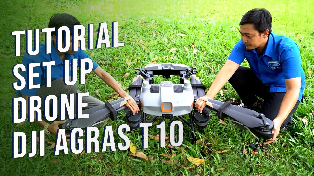
Tutorial Mempersiapkan Drone Pertanian DJI Agras T10

Hibernate & JPA Tutorial - Crash Course

HOW to use MITRE ATT&CK Navigator in SOC Operations with Phishing Use Case Explained
5.0 / 5 (0 votes)
