Cara Mengukur Luas Tanah Menggunakan Aplikasi Google Earth
Summary
TLDRThis tutorial video guides viewers on how to measure land using Google Earth, a helpful tool for estimating land area before physical measurement. The presenter instructs on downloading the app, navigating to the specific location, and using the ruler tool to outline and calculate the area of land. The video demonstrates the process with a rice field example, showcasing the app's utility in obtaining circumference and area measurements. The host encourages viewers to subscribe, like, comment, and share the video for more informative content.
Takeaways
- 📱 The video demonstrates how to use the Google Earth application to measure land areas.
- 🌐 Download Google Earth from the provided link or directly from Google Playstore.
- 🔍 Use the search function in Google Earth to locate the area you wish to measure by entering an address or the name of a village or sub-district.
- 📍 Once you've found the area, visually identify the land or plot you want to measure, such as a rice field in this example.
- 📏 Start the measurement process by clicking the ruler icon at the top of the Google Earth application.
- 📍 Add points to outline the area by positioning the white dot at the end of each segment of the land's perimeter.
- 📐 Adjust the points to follow the shape of the land, even if it's irregular, to ensure an accurate measurement.
- 🔗 Connect the points to form a closed shape, which will calculate the area and perimeter of the land.
- 📊 The video shows an example of measuring a rice field with a perimeter of 180 meters and an area of 2.154 square meters.
- 👍 The tutorial is intended to be beneficial for those who need to measure land areas quickly and easily using Google Earth.
- 📢 The video encourages viewers to subscribe, like, comment, and share the tutorial on social media.
Q & A
What is the purpose of the video?
-The video explains how to measure land using the Google Earth application, which is helpful for getting an approximate area before measuring it physically.
What is the first step in measuring land using Google Earth?
-The first step is to download the Google Earth application from either the video description link or directly from Google Playstore.
How do you find the land or area you want to measure in Google Earth?
-You can search for the location by entering the address, or at least the name of the village or sub-district, in the search bar.
What do you do after finding the location of the land?
-After finding the location, you zoom in on the map and look for the exact land plot to be measured.
How do you start the measurement process in Google Earth?
-To start measuring, click the ruler icon at the top of the screen, and then begin placing points around the perimeter of the land.
What if the land is not a perfect shape, like a rectangle?
-If the land is not a perfect shape, you should add points according to the land's boundaries and follow the irregular shape as closely as possible.
How do you close the shape to complete the measurement?
-Once you’ve added points around the entire land, drag the final point to the starting point to close the shape.
What information does Google Earth provide after measuring the land?
-Google Earth provides both the circumference and the area of the land. In the example from the video, the circumference is 180 meters, and the area is 2,154 square meters.
Why is using Google Earth to measure land useful?
-Using Google Earth is useful because it allows users to estimate the size of the land without needing to physically measure it with tools, saving time and effort.
What does the video creator encourage viewers to do at the end of the video?
-The creator encourages viewers to subscribe to the YouTube channel, like the video, comment, and share it on social media.
Outlines

Esta sección está disponible solo para usuarios con suscripción. Por favor, mejora tu plan para acceder a esta parte.
Mejorar ahoraMindmap

Esta sección está disponible solo para usuarios con suscripción. Por favor, mejora tu plan para acceder a esta parte.
Mejorar ahoraKeywords

Esta sección está disponible solo para usuarios con suscripción. Por favor, mejora tu plan para acceder a esta parte.
Mejorar ahoraHighlights

Esta sección está disponible solo para usuarios con suscripción. Por favor, mejora tu plan para acceder a esta parte.
Mejorar ahoraTranscripts

Esta sección está disponible solo para usuarios con suscripción. Por favor, mejora tu plan para acceder a esta parte.
Mejorar ahoraVer Más Videos Relacionados
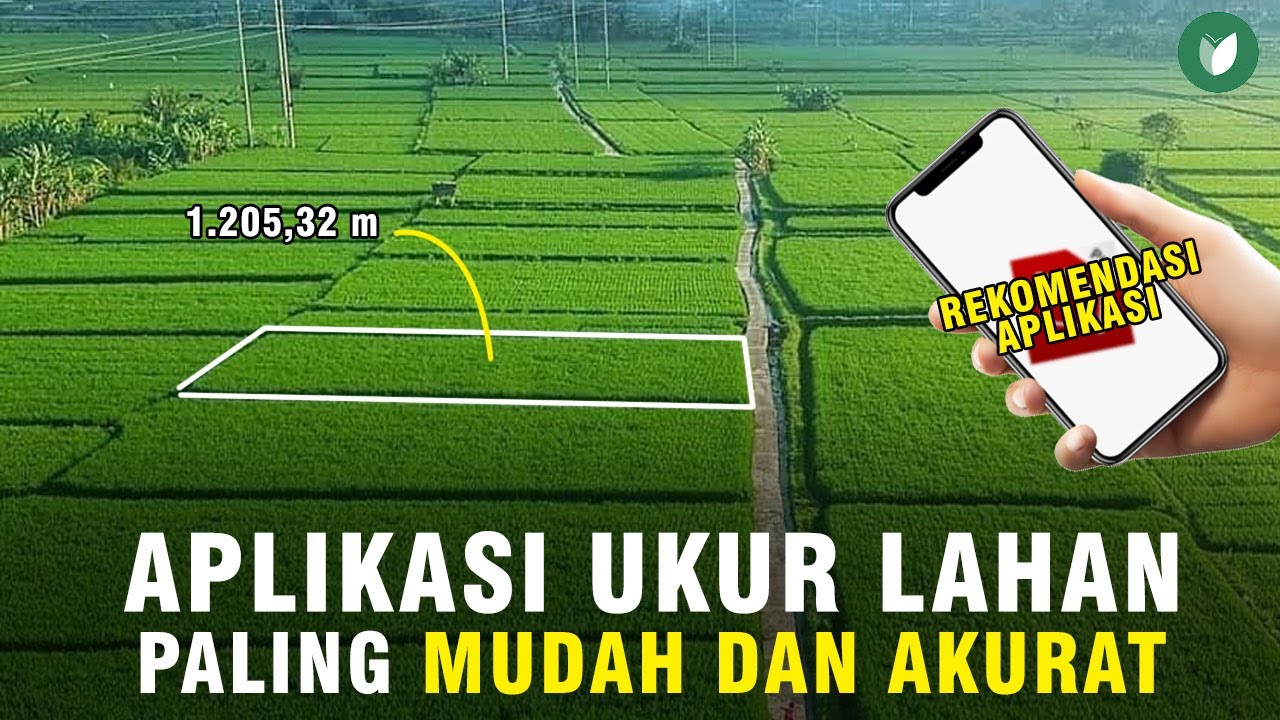
CARA MENGUKUR LUAS LAHAN SAWAH PALING MUDAH TANPA GOOGLE EARTH/MAPS | APLIKASI ANDROID TERBAIK
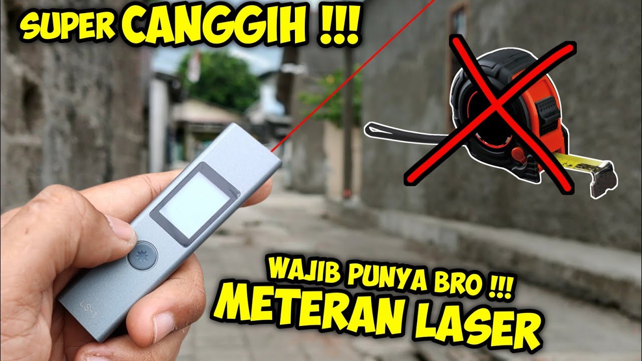
Cara mengukur tanah menggunakan LASER | ATuMan DUKA LS-1
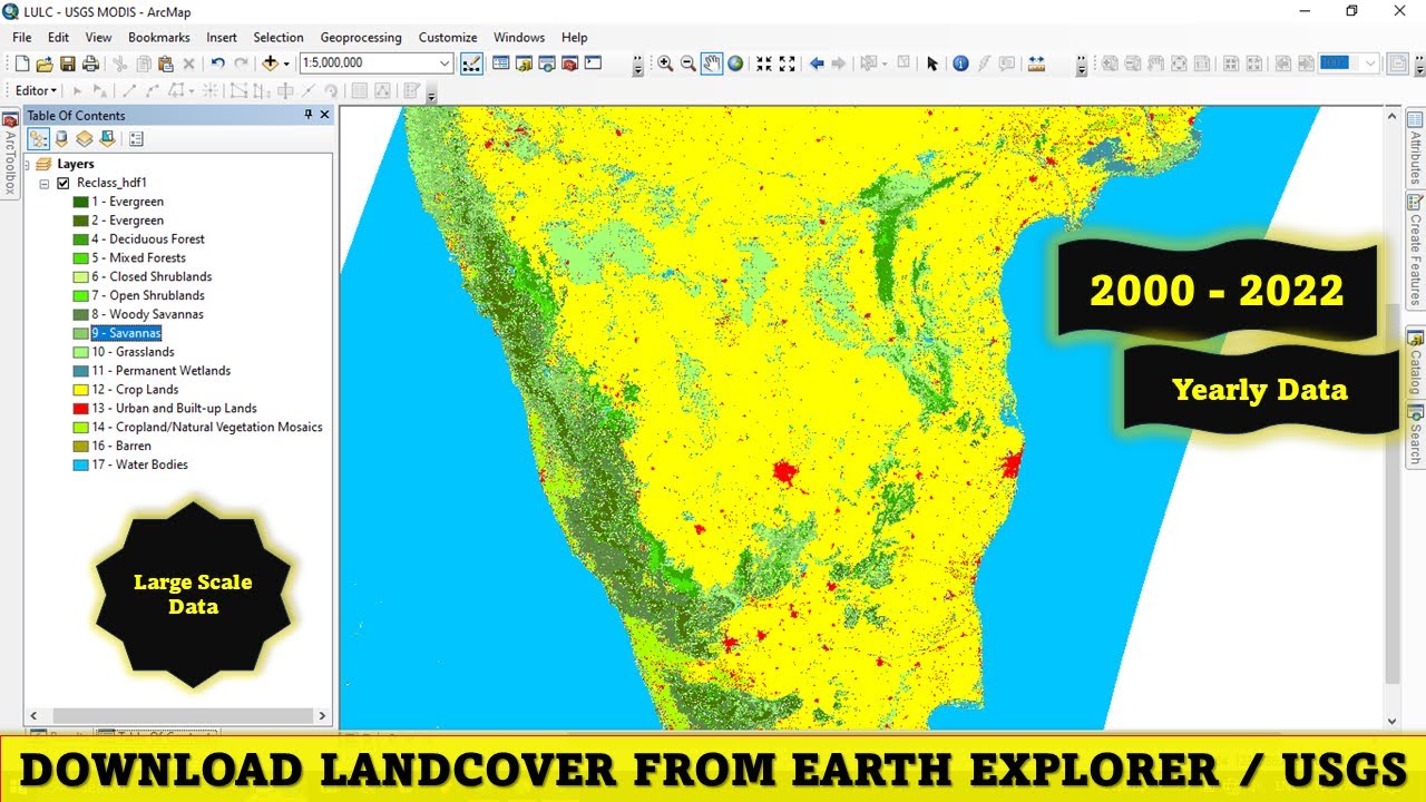
Download Free Land Cover data from Earth Explorer / USGS
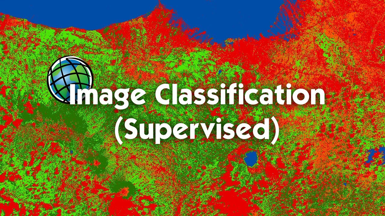
Tutorial Image Classification (Supervised) Menggunakan ArcGIS

ILMU UKUR TANAH PERHITUNGAN LUAS

240+ Free Resume Template Downloads (Google Docs & MS Word)
5.0 / 5 (0 votes)
