Sejarah Singkat Gumuk Pasir Jogja
Summary
TLDRThe Parangtritis sand dunes in Yogyakarta, Indonesia, are a unique natural monument located 25 km south of the city center. These dunes, formed by volcanic materials from Mount Merapi, are the only sand dunes of their kind in Southeast Asia. The sand is carried by rivers and shaped by the waves of the southern sea before being deposited and forming mounds. The sand dunes' distinctive crescent moon shape is influenced by the local wind patterns, creating a stunning landscape. Over time, the beauty and rarity of these dunes have gained international recognition.
Takeaways
- 😀 The Parangtritis Sand Dunes, located in the Special Region of Yogyakarta, Indonesia, is a natural monument approximately 25 km south of Yogyakarta city.
- 😀 Parangtritis Beach, located near the sand dunes, has spiritual significance in the local culture and tourism.
- 😀 Sand dunes are natural mounds of sand formed by wind movement, known as 'gumuk' in Javanese, meaning mound or protrusion from flat surfaces.
- 😀 Initially, local residents did not recognize the uniqueness of the sand dunes, believing they were a common natural phenomenon.
- 😀 The Faculty of Geography at Gajah Mada University helped bring attention to the sand dunes as a unique and rare phenomenon, attracting international researchers.
- 😀 The Parangtritis sand dunes are the only known sand dunes in Southeast Asia, making them a distinct natural feature.
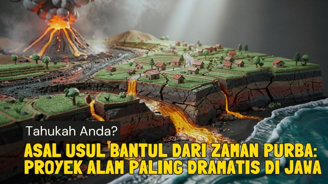
- 😀 The formation of the sand dunes began with volcanic activity from Mount Merapi, which released volcanic material that traveled through rivers to the sea.
- 😀 The volcanic material, carried by the Opak River, was then eroded by the southern sea waves into fine sand grains.
- 😀 The fine sand grains, which measure as small as 0.02 microns, are carried by the wind at a speed of 2 meters per second, eventually forming sand dunes on the mainland.
- 😀 The wind direction, influenced by Bukit Cars located east of Parangtritis, shapes the sand dunes, creating crescent-shaped dunes known as Sabit or Barkan.
Q & A
Where is the Parangtritis sand dune located?
-The Parangtritis sand dune is located about 25 km south of the city center of Yogyakarta, in the Bantul area of the Special Region of Yogyakarta, Indonesia.
What is the significance of Parangkusumo Beach in relation to the sand dunes?
-Parangkusumo Beach is located near the Parangtritis sand dunes and is closely associated with the area's spiritual tourism.
What does the term 'gumuk' mean?
-The term 'gumuk' comes from Javanese, meaning a mound or something that protrudes from a flat surface. It is used to refer to the sand dunes in the area.
How did the local population initially perceive the sand dunes?
-Initially, the local population did not recognize the beauty and uniqueness of the sand dunes, believing them to be just a common natural phenomenon found in other places.
Who helped the local population realize the uniqueness of the Parangtritis sand dunes?
-The Faculty of Geography of Gajah Mada University played a key role in educating the locals about the uniqueness of the sand dunes, as they hosted many foreign guests who conducted research in the area.
What makes the Parangtritis sand dunes unique in Southeast Asia?
-The Parangtritis sand dunes are unique because they are the only known sand dunes in Southeast Asia formed through a specific geological process involving volcanic material and wave action.
How did the formation process of the sand dunes begin?
-The formation of the sand dunes began with the eruption of Mount Merapi, which released volcanic material that flowed into rivers and eventually reached the southern sea. The material was then eroded by waves and carried inland by wind.
What role do waves play in the formation of the sand dunes?
-Waves erode volcanic material into fine dust grains, which are then blown inland by the wind. This fine sand is deposited on the mainland, where it gradually forms mounds, eventually creating the sand dunes.
Why are the sand dunes facing southeast known as 'Sabit' or 'Barkan'?
-The sand dunes facing southeast are known as 'Sabit' or 'Barkan' because their shape resembles a crescent moon, a result of stronger winds blowing from the southeast due to the nearby Bukit Cars.
How does the wind direction influence the shape of the sand dunes?
-The wind direction, influenced by the surrounding terrain, such as the nearby Bukit Cars, affects the shape of the sand dunes. In this case, the southeast wind creates crescent-shaped dunes known as 'Sabit' or 'Barkan'.
Outlines

هذا القسم متوفر فقط للمشتركين. يرجى الترقية للوصول إلى هذه الميزة.
قم بالترقية الآنMindmap

هذا القسم متوفر فقط للمشتركين. يرجى الترقية للوصول إلى هذه الميزة.
قم بالترقية الآنKeywords

هذا القسم متوفر فقط للمشتركين. يرجى الترقية للوصول إلى هذه الميزة.
قم بالترقية الآنHighlights

هذا القسم متوفر فقط للمشتركين. يرجى الترقية للوصول إلى هذه الميزة.
قم بالترقية الآنTranscripts

هذا القسم متوفر فقط للمشتركين. يرجى الترقية للوصول إلى هذه الميزة.
قم بالترقية الآنتصفح المزيد من مقاطع الفيديو ذات الصلة

Gurun Pasir di Indonesia, Emang Ada? - Gumuk Pasir Parangkusumo | Episode 11 | #CeritaBumi
Asal Usul Bantul dari Zaman Purba: Proyek Alam Paling Dramatis di Jawa,Fakta Unik,Sejarah Menarik

Pantai Parangtritis Yogyakarta Jogja

Geomorfologi Bentuklahan Eolin (Aeolian Landform)

DI SEBUT KOTA MINYAK??! 6 FAKTA MENARIK KOTA DUMAI

Bagyong Leon, lalo pang lumakas habang papalapit sa extreme northern Luzon | 24 Oras
5.0 / 5 (0 votes)
