PLANO CARTESIANO | Aprenda de uma forma diferente \Prof. Gis/
Summary
TLDRIn this engaging lesson, Gis connects geography and mathematics by exploring how coordinates work in both contexts. Starting with latitude and longitude, she demonstrates how to locate points on a world map and reveals her own location as a fun challenge. She then introduces the Cartesian plane, explaining its axes, origin, quadrants, and how to plot points using ordered pairs. Through interactive examples, including flags and a Battleship-style game, students learn to identify coordinates and apply them practically. The video combines visual explanations, real-life applications, and playful exercises to make understanding the Cartesian plane intuitive and enjoyable.
Takeaways
- 😀 Latitude and longitude are coordinate systems used in Geography to determine the location of any point on Earth.
- 😀 Latitudes run north to south based on the Equator, while longitudes run east to west based on the Greenwich Meridian.
- 😀 The Cartesian plane in Mathematics is similar to geographic coordinates, using two perpendicular axes instead of latitude and longitude.
- 😀 The Cartesian plane consists of a horizontal axis (x-axis or abscissa) and a vertical axis (y-axis or ordinate), which intersect at the origin (0,0).
- 😀 The plane is divided into four quadrants, and positive and negative values are represented along both axes.
- 😀 Points on the Cartesian plane are represented by ordered pairs (x, y), where the first value corresponds to the x-axis and the second to the y-axis.
- 😀 Real-world examples, like GPS and games such as Battleship, use the concept of coordinate systems to locate points or objects.
- 😀 Understanding the Cartesian plane allows students to plot points, identify coordinates, and connect Mathematics with Geography and everyday applications.
- 😀 Visual aids such as flags, squares, or boats help illustrate the concept of coordinates and ordered pairs in a hands-on way.
- 😀 The instructor encourages interactive learning by having students practice locating points and placing objects based on given ordered pairs.
- 😀 Gis's location challenge reinforces the link between latitude/longitude and Cartesian coordinates, promoting engagement and practical understanding.
- 😀 Consistent labeling and careful identification of x and y values are essential to accurately plot points and interpret coordinates.
Q & A
What is the main topic of Gis' class?
-The main topic is the Cartesian plane in mathematics, how it works, and its connection to geographic coordinates like latitude and longitude.
How are latitude and longitude defined in geography?
-Latitude divides the Earth north and south from the Equator, while longitude divides the Earth east and west from the Greenwich Meridian.
What is the similarity between geographic coordinates and the Cartesian plane?
-Both systems use a pair of values to locate a point: latitude and longitude in geography correspond to the Y-axis and X-axis in the Cartesian plane.
What are the axes of a Cartesian plane and their names?
-The horizontal axis is called the abscissa or X-axis, and the vertical axis is called the ordinate or Y-axis.
What is the origin in a Cartesian plane?
-The origin is the point where the X-axis and Y-axis intersect, represented as (0, 0).
How are the quadrants of a Cartesian plane defined?
-The plane is divided into four quadrants: the first quadrant has positive X and Y values, the second has negative X and positive Y, the third has negative X and Y, and the fourth has positive X and negative Y.
How do you represent a point on a Cartesian plane?
-A point is represented by an ordered pair (X, Y), where X is the abscissa (horizontal) value and Y is the ordinate (vertical) value.
How can the Cartesian plane be used in practical applications like games?
-The Cartesian plane can be used in games like Battleship, where players guess the coordinates of opponents' pieces using ordered pairs.
What tips does Gis give for placing points when one value is zero?
-If X = 0, the point lies on the Y-axis; if Y = 0, the point lies on the X-axis; and if both X and Y are 0, the point is at the origin.
What is Gis' location and how can it be found using coordinates?
-Gis’ location is at latitude 23° S and longitude 51° W. Students can identify it on a map by using these geographic coordinates, which corresponds to Curitiba, Brazil.
Why is the Cartesian plane named after René Descartes?
-It is named in tribute to the mathematician René Descartes, who developed the concept of using perpendicular axes to locate points in a plane.
How should students prepare to practice plotting points on a Cartesian plane?
-Students should use squared paper or create a grid in their notebook to draw axes, mark coordinates, and plot points using ordered pairs.
Outlines

This section is available to paid users only. Please upgrade to access this part.
Upgrade NowMindmap

This section is available to paid users only. Please upgrade to access this part.
Upgrade NowKeywords

This section is available to paid users only. Please upgrade to access this part.
Upgrade NowHighlights

This section is available to paid users only. Please upgrade to access this part.
Upgrade NowTranscripts

This section is available to paid users only. Please upgrade to access this part.
Upgrade NowBrowse More Related Video
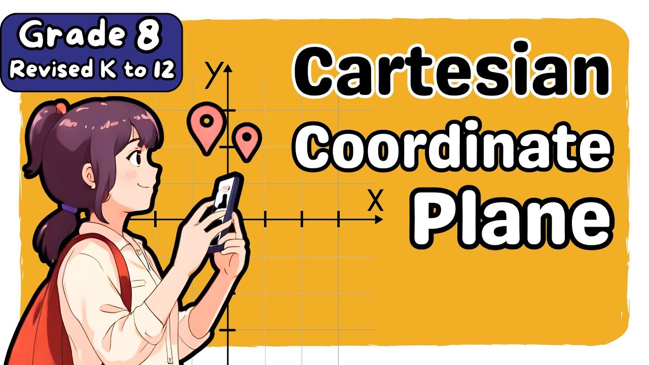
Cartesian Coordinate Plane (2nd) Second Quarter Grade 8 Matatag Revised K-12 Tagalog Math Tutorial
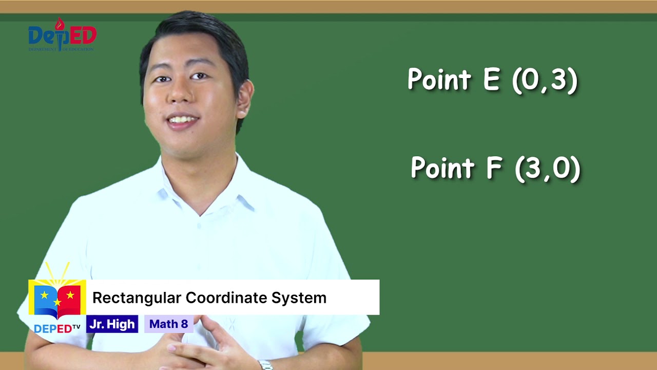
Grade 8 Math Q1 Ep9: Rectangular Coordinate System
Ubiratan D'Ambrosio - Module 4 - The six dimensions of ethnomathematics as as a program

Penerapan Model RME (Realistic Mathematics Education) Pada Materi Pecahan Kelas 4 SD

Juara 1 Lomba Microteaching FKIP UST 2025 – Cindy Cancerlia – Universitas Riau Kepulauan
MATEMATIKA VIII Bab 4 Bagian 2 PERSAMAAN GARIS dengan KEMIRINGAN
5.0 / 5 (0 votes)