Tutorial Drone Mapping Dengan Pix4DCapture Pro
Summary
TLDRThis tutorial provides a detailed guide on using Pix4D Capture Pro for drone mapping. It covers the process of mission planning, from setting up the drone and creating a mission plan with Grid or Orbit options, to ensuring the drone is ready for flight. The tutorial walks through key settings, including flight height, overlap, and return-to-home actions. After taking the photos, the video also demonstrates processing the images with Agisoft to align and create orthophotos and digital elevation models. Viewers are encouraged to subscribe for more tutorials.
Takeaways
- 😀 Pix4D Capture Pro offers both free and paid features for drone mapping, with basic mission types like 'Grid' and 'Orbit' available for free.
- 😀 To begin, users need to create a mission plan by selecting 'Grid' or 'Orbit' before pressing 'Next' to proceed with setting up the flight mission.
- 😀 Make sure the drone is connected to Pix4D Capture, with correct battery levels and signal loss settings (preferably set to 'Return to Home').
- 😀 Ensure the drone’s flight height, overlap (front and side), and camera angle are set correctly before beginning the flight mission.
- 😀 The drone will take photos based on the mission plan, with a sound notification each time a photo is captured during the flight.
- 😀 After the mission is complete, the drone will need to be manually landed, as Pix4D Capture Pro does not have an automatic 'Return to Home' feature.
- 😀 Photos taken during the mission are processed using Agisoft to create a 3D model, with low accuracy processing for faster alignment.
- 😀 It’s essential to check mission settings such as flight height, overlap, and speed before starting the mission to ensure accurate data collection.
- 😀 Pix4D Capture automatically detects compatible drones, including DJI Matrix, Phantom, Mavic, and certain Parrot models, making setup easy.
- 😀 Once the mission is set up and the drone is connected to DJI Go for home point calibration, the user can launch the flight to begin data collection.
- 😀 After processing in Agisoft, the result will be a 3D model, orthophotos, and a digital elevation model (DEM) for further analysis and use.
Q & A
What is the primary focus of this video tutorial?
-The video tutorial focuses on drone mapping using Pix4D Capture Pro, particularly how to create and execute a mission plan for mapping.
What are the free features available in Pix4D Capture Pro for drone mapping?
-Pix4D Capture Pro offers free features such as the 'Grid' and 'Orbit' mission plans for mapping. However, some features, like road and river mapping, require a paid subscription.
What types of drones are compatible with Pix4D Capture Pro?
-Pix4D Capture Pro supports DJI drones (such as the Matrix, Phantom, Mavic, and Matrix RTK series) as well as Parrot drones.
How can the drone's battery level impact the flight mission planning?
-Setting the minimum battery level is important as it helps Pix4D Capture Pro calculate the distance for Return-to-Home (RTH) functionality and ensures the drone can safely complete the mission.
What is the recommended RTH (Return-to-Home) action in case of signal loss?
-It is recommended to set the RTH action to 'Return to Home' in case of signal loss, which allows the drone to automatically return to its starting point for a safe landing.
How is flight height set in Pix4D Capture Pro?
-Flight height can be set within the mission planning settings, where users can choose a specific altitude for the drone to maintain during the flight, depending on the location's topography.
What should be checked before starting a flight mission in Pix4D Capture Pro?
-Before starting the flight mission, ensure that the drone is connected, flight height and overlap are correctly set, and other mission parameters are reviewed.
What is the significance of the 'manual flight' notification after the mission?
-The 'manual flight' notification indicates that after completing the mission, the drone must be manually returned to the home point, as the automatic RTH feature isn't set up in this scenario.
What software is used to process the photos taken during the mapping mission?
-The photos are processed using Agisoft software (version 2), where they are aligned and processed into orthophotos and digital elevation models (DEMs).
How are the alignment results of the photos handled after the flight mission?
-After the flight mission, the photos are aligned using Agisoft, where they are processed to produce results like orthophotos and digital elevation models, based on the mission plan.
Outlines

This section is available to paid users only. Please upgrade to access this part.
Upgrade NowMindmap

This section is available to paid users only. Please upgrade to access this part.
Upgrade NowKeywords

This section is available to paid users only. Please upgrade to access this part.
Upgrade NowHighlights

This section is available to paid users only. Please upgrade to access this part.
Upgrade NowTranscripts

This section is available to paid users only. Please upgrade to access this part.
Upgrade NowBrowse More Related Video
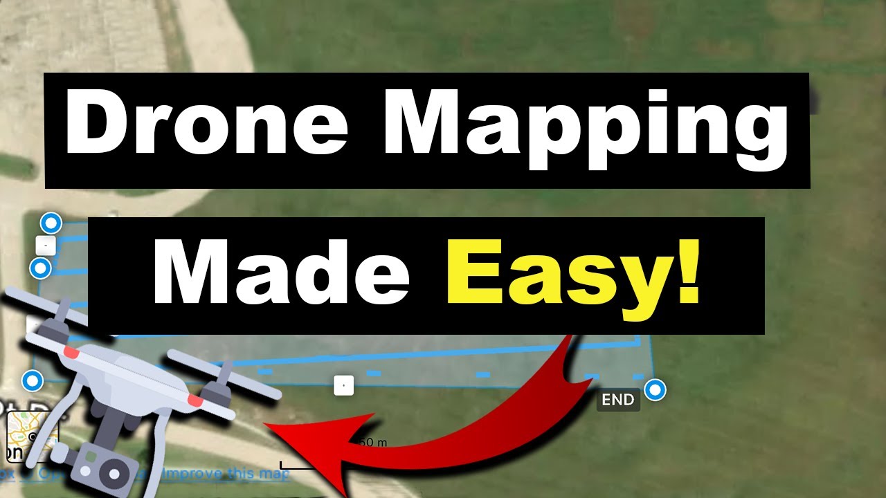
Drone Mapping for Beginners | Easy Steps to Start Today!
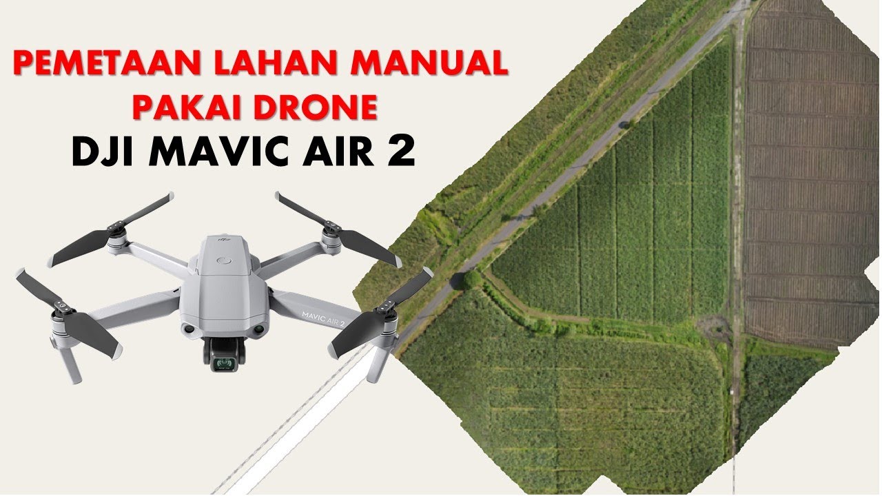
Cara Mapping Lahan dengan Drone MANUAL tanpa aplikasi MAPPING
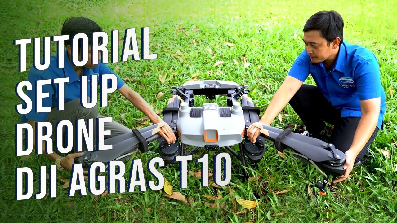
Tutorial Mempersiapkan Drone Pertanian DJI Agras T10

Tutorial Maping Menggunakan Mavic Air 2 Dengan Aplikasi Dronedeploy

BEST Drone to Buy in 2024 - Mini 4 Pro vs Air 3 vs Mavic 3 Pro

Mapping and Spraying Fields with Mavic, Pix4D, and T50
5.0 / 5 (0 votes)