How to setup RTK on Mavic 3E, M300, & M350 with Emlid RS2/RS3 and NO internet. 4 Different Scenarios
Summary
TLDRThis video tutorial demonstrates how to effectively use GNSS equipment, such as the RS2 and RS3 receivers, in mapping and surveying tasks. The speaker covers key aspects like setting up floating fixes, averaging data for accuracy, and configuring the Emlid Flow app for Rover and Base stations. With practical tips on rod height, tilt compensation, and real-world GNSS setups, the tutorial aims to help viewers understand precise location-based work. The speaker also touches on future advancements and additional training materials to enhance surveying skills.
Takeaways
- 😀 The video focuses on using GPS-based systems for surveying or drone mapping with equipment like the Emlid RS2 and RS3 receivers.
- 😀 In poor reception conditions, the speaker demonstrates adjusting settings to 'float' and using 10-second averaging, instead of the ideal 'fix' setting with 3-5 minutes of averaging.
- 😀 In a real-world scenario, a longer averaging time (3-5 minutes) and a strong fix signal are recommended for more accurate measurements.
- 😀 The rod height is an important parameter for accurate GNSS measurements, with the speaker's rod set at 1.85 meters, while a typical GPS pole would be 2 meters.
- 😀 The speaker discusses the importance of having a fixed base and rover system for collecting GNSS data and provides details on configuring the equipment with the Emlid Flow app.
- 😀 For optimal operation, the Emlid RS2 base station is paired with the RS3 rover for precise measurements during surveys.
- 😀 The Emlid RS3 receiver is highlighted for its tilt compensation feature, which enhances data accuracy by accounting for receiver tilt during measurements.
- 😀 The speaker discusses using the RS2 and RS3 systems for RTK and aerial LIDAR surveys, emphasizing the importance of these technologies for high-accuracy mapping.
- 😀 The tutorial emphasizes practical field application, explaining the steps to configure equipment in real-world conditions for accurate surveying results.
- 😀 The speaker references an upcoming LIDAR tutorial and mentions being slightly behind due to injury but plans to provide more detailed information in the next video.
Q & A
What does the speaker mean by a 'fix' in the context of GNSS equipment?
-A 'fix' refers to a reliable GPS signal that provides accurate location data. In GNSS systems, a fix is required for precise measurements, and it typically involves receiving signals from multiple satellites. The speaker is discussing how to achieve a fix for more accurate readings.
Why is the speaker choosing to use a 'float' instead of a 'fix' in this tutorial?
-The speaker is using a 'float' because they are currently experiencing poor signal reception (only one green bar), which means they are unable to achieve a full 'fix.' The float solution is less accurate but still allows for some level of positioning.
What would the speaker typically do in real-world conditions when using GNSS equipment?
-In the field, the speaker would typically aim for a reliable 'fix' by averaging for 3 to 5 minutes to ensure accurate GNSS data. They would also choose the 'average fix' option for greater precision during surveying tasks.
How does rod height impact GNSS measurements?
-Rod height affects the calculation of position because the GNSS receiver is mounted on the rod, and the height determines the exact elevation measurement. The speaker's rod height is 1.85 meters, and different types of poles (like a GPS pole) may have different standard heights, such as 2 meters.
What is the significance of the ARP antenna reference point in GNSS setups?
-The ARP (Antenna Reference Point) refers to the location on the GNSS equipment where the antenna is mounted. This point is crucial for accurately calculating measurements because it represents the reference point from which all spatial data is derived.
What is the purpose of the Emlid Flow app in this context?
-The Emlid Flow app is used for managing GNSS devices, including setting up rover mount points and logging data for RTK surveying. It allows the speaker to input necessary details for integrating different GNSS devices, like the Mavic 3 controller and RS2 Rover, into their workflow.
What new feature does the RS3 receiver have that the speaker finds beneficial?
-The RS3 receiver includes tilt compensation, which helps improve the accuracy of GNSS measurements by adjusting for any tilt in the receiver, ensuring more reliable data even when the equipment is not perfectly vertical.
How would the speaker's setup change if they were using an RS3 for the rover?
-If the speaker used an RS3 for the rover, they would not need to pair it with the RS2 base station. The RS3's advanced features, like tilt compensation, would enhance their GNSS setup, allowing for more precise measurements during surveying tasks.
What is the purpose of averaging data in GNSS setups?
-Averaging data helps improve the accuracy of the measurements by smoothing out any noise or inconsistencies in the signal. In this case, the speaker suggests averaging over 10 seconds with 'float' data when a 'fix' is not achievable, but recommends longer averaging times (3-5 minutes) in real-world conditions.
What challenges did the speaker face while creating this tutorial?
-The speaker mentioned being delayed in creating the tutorial due to an injury (they 'jacked up their knee'), which affected their ability to get out and record the field footage needed for the tutorial.
Outlines

This section is available to paid users only. Please upgrade to access this part.
Upgrade NowMindmap

This section is available to paid users only. Please upgrade to access this part.
Upgrade NowKeywords

This section is available to paid users only. Please upgrade to access this part.
Upgrade NowHighlights

This section is available to paid users only. Please upgrade to access this part.
Upgrade NowTranscripts

This section is available to paid users only. Please upgrade to access this part.
Upgrade NowBrowse More Related Video
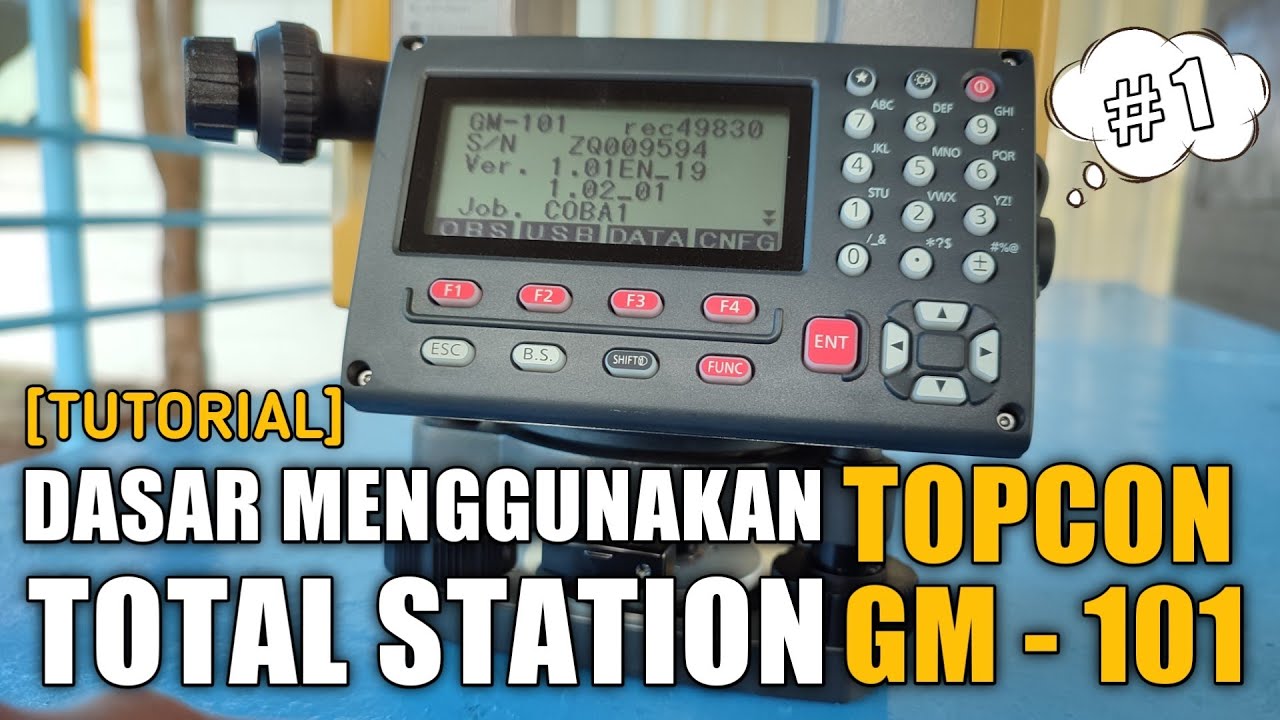
[TUTORIAL 1] DASAR MENGGUNAKAN TOTAL STATION TOPCON GM-101 SERIES | ANAK TEKNIK
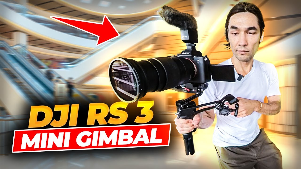
DJI RS3 Mini: Real Test Footage And Review - The New Generation Of Handheld Gimbals
TUTORIAL PENGOPRASIAN TOTAL STATION LEICA TS06 INDONESIA
Ilmu Ukur Tanah Basic (Part 2)
Pengukuran Poligon Tertutup dan Detail pada Theodolite

Ano Ba Ang Ginagawa Ng Mga Geodetic Engineers?
5.0 / 5 (0 votes)