Mapping 101 - Introduction to Drone Mapping
Summary
TLDRThis video introduces the benefits of drone mapping in the land surveying industry. It highlights how drones, equipped with photogrammetry technology, have revolutionized surveying by increasing efficiency, safety, and accuracy compared to traditional methods. The video explains key concepts such as triangulation, point clouds, and 3D modeling, and explores various applications including disaster response, traffic accident analysis, and construction progress monitoring. With drones like the DJI M300 RTK, anyone can create detailed 2D maps and 3D models, providing valuable data for industries like construction, mining, and utilities.
Takeaways
- 😀 Drone mapping has significantly improved the efficiency and safety of land surveying by eliminating the need for heavy ground devices and reducing fieldwork time.
- 😀 Traditional land surveying methods, like using total stations, can take hours, while drones can map a 300-meter railroad track in just 20 minutes with high accuracy.
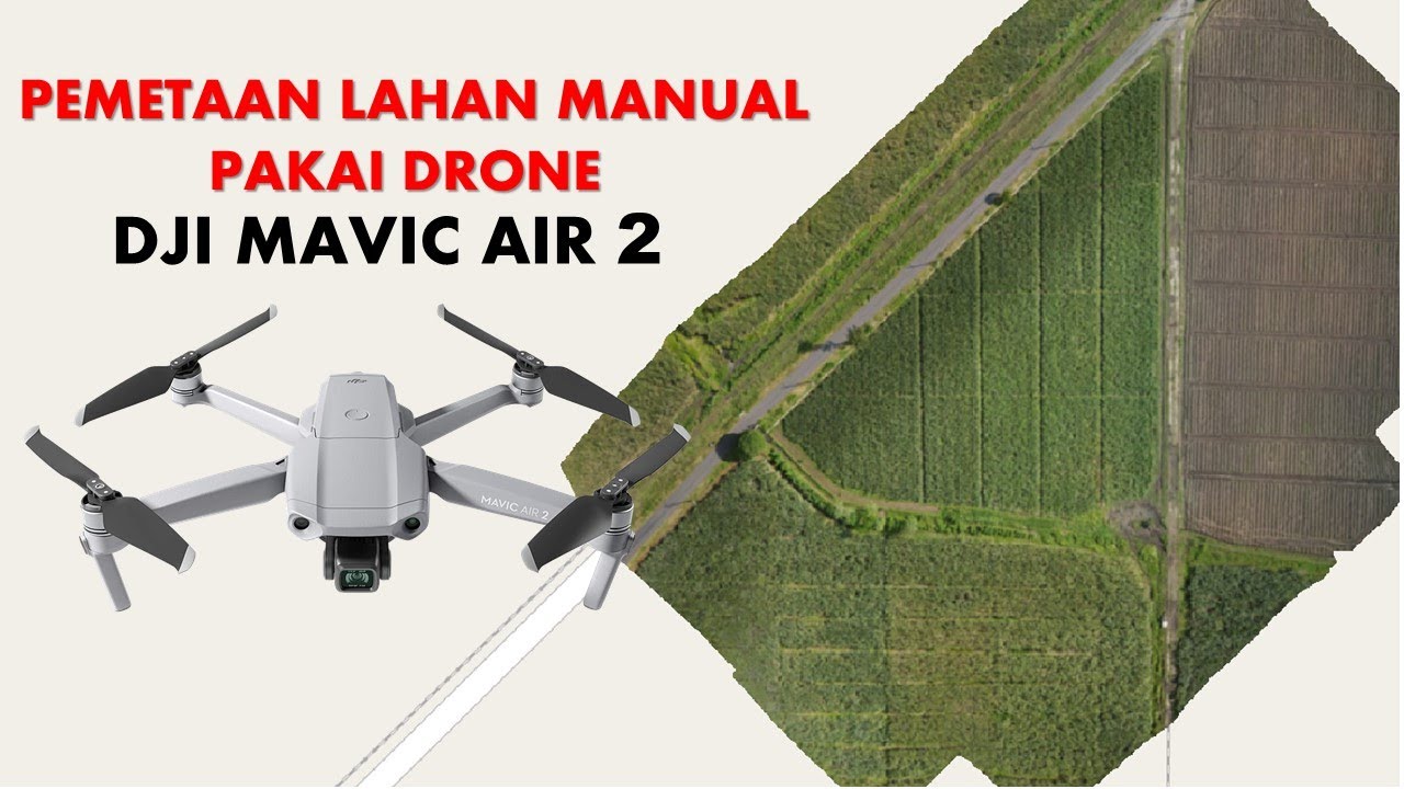
- 😀 Photogrammetry, the science of making measurements from photographs, is key to drone mapping. It uses triangulation and software like DJI Terra to generate 3D point clouds.
- 😀 Drones can autonomously fly predefined paths, like the lawnmower pattern, to capture images with consistent overlap for creating 3D models and maps.
- 😀 You don’t need professional survey knowledge to use drones for mapping—anyone can create 2D maps and 3D models with proper training.
- 😀 Drones can be used in disaster response scenarios to quickly create 3D models, helping rescue teams assess damage, plan missions, and predict future risks.
- 😀 After traffic accidents or train derailments, drones help reconstruct accident scenes and create 2D and 3D models for investigation purposes.
- 😀 In construction and mining, drones visualize progress and help measure stockpile volumes, tasks that are impossible with just a single photo or panorama.
- 😀 Digital twins are valuable for utility companies, assisting in asset assessment and decision-making, such as fitting new components into existing structures.
- 😀 Drone mapping reduces fieldwork time, lowers surveying costs, accesses dangerous or hard-to-reach areas, and provides accurate, measurable results.
- 😀 DJI drones like the Phantom 4 RTK or Matrice 300 RTK are great tools for learning more about drone mapping in various industrial applications.
Q & A
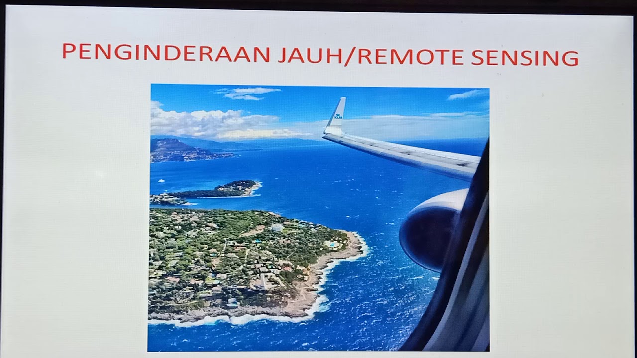
What is drone mapping, and how has it changed the land surveying industry?
-Drone mapping is the use of drones to capture images of terrain and objects, which are then processed to create 2D maps and 3D models. It has significantly improved the land surveying industry by making fieldwork more efficient, safer, and less expensive, replacing the need for heavy ground equipment like total stations.
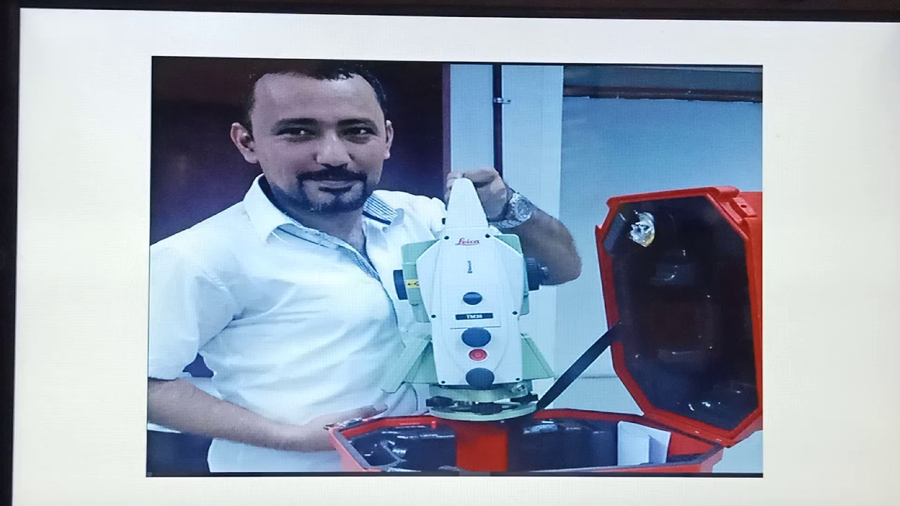
What were the traditional methods of land surveying, and what challenges did they involve?
-Traditional land surveying methods required surveyors to carry heavy ground devices, such as total stations, into the field. This often involved walking through dense vegetation or climbing hills, which was time-consuming, physically demanding, and potentially hazardous.
How accurate is drone mapping, and how does it compare to traditional ground GNSS methods?
-Drone mapping can achieve an accuracy of about two centimeters, which is comparable to the accuracy of traditional ground GNSS methods, making it a highly precise and effective tool for land surveying.
What is photogrammetry, and how does it contribute to drone mapping?
-Photogrammetry is the science of making measurements from photographs. In drone mapping, it involves taking photos from multiple angles to create a three-dimensional model by triangulating the positions of features. Software like DJI Terra processes these images to generate 3D point clouds and models.
What is the 'lawnmower pattern' in drone mapping, and why is it used?
-The 'lawnmower pattern' is an automated flight path in which a drone flies back and forth over a specific area, ensuring full coverage with consistent overlap between each pass. This pattern is used to efficiently capture images and create accurate maps and models.
Do you need professional survey knowledge to use drones for mapping?
-No, you do not need professional survey knowledge to map with drones. With proper training and technique, anyone can use drones to create realistic 2D maps and 3D models, making drone mapping accessible to a wider audience.
How can drone mapping be used in post-disaster recovery and search and rescue operations?
-After a natural disaster, drones can quickly generate 3D models of the affected area, allowing search and rescue teams to assess structural damage, plot rescue missions, navigate hazards, and predict potential risks, all of which improve efficiency and safety.
What role do drones play in accident reconstruction and traffic management?
-Drones assist in accident reconstruction by providing a full, measurable 3D picture of the scene, which speeds up the process of reopening roads or tracks. Investigators can analyze the models to understand the accident better and gather essential data for future analysis.
How are drones used in construction and mining industries?
-In construction and mining, drones are used to monitor progress, visualize work sites, and measure stockpile volumes. These tasks would be difficult or impossible to complete with traditional methods, such as single photos or panoramas, as drones provide detailed and accurate 3D models.
What are digital twins, and how do drones contribute to them in utilities management?
-Digital twins are digital replicas of physical assets, used for analysis and decision-making. Drones help utilities companies by capturing accurate data about current assets, which can then be used for planning, measuring components, and assessing if new parts can fit into existing systems.
Outlines

This section is available to paid users only. Please upgrade to access this part.
Upgrade NowMindmap

This section is available to paid users only. Please upgrade to access this part.
Upgrade NowKeywords

This section is available to paid users only. Please upgrade to access this part.
Upgrade NowHighlights

This section is available to paid users only. Please upgrade to access this part.
Upgrade NowTranscripts

This section is available to paid users only. Please upgrade to access this part.
Upgrade NowBrowse More Related Video


5.0 / 5 (0 votes)