CARA MEMBUAT PETA PANORAMA PRAMUKA
Summary
TLDRThis video provides a detailed tutorial on creating a panorama map, explaining how to capture and illustrate a landscape from a specific viewpoint. The process includes selecting the appropriate angle, drawing the visible area, adding contour lines for different objects, and using shading to indicate proximity. It also covers labeling objects with codes and providing context through report details such as date, time, and location. The tutorial emphasizes the importance of accurate representation to track landscape changes over time, offering practical insights for creating effective and informative panorama maps.
Please replace the link and try again.
Q & A
What is a panorama map?
-A panorama map is a simple sketch or drawing of a landscape or terrain from a specific angle, showing the viewable area at a particular time. It helps visualize changes in the landscape over time.
What is the primary purpose of creating a panorama map?
-The primary purpose of creating a panorama map is to capture and represent the current state of a location, enabling comparison of changes when revisiting the same spot after some time.
What tools are required to create a panorama map?
-To create a panorama map, you need a compass, HVS paper, 2H and 2B pencils, a globe, a ruler, and an eraser.
What are the two main methods for drawing a panorama map?
-The two main methods for drawing a panorama map are: 1) using predefined angles to sketch the panorama; 2) using known points and adjusting the angles based on the landscape’s features.
How do you determine which area to draw when using predefined angles?
-When using predefined angles, you identify the direction (e.g., 300° to 360°) and only draw the landscape within that specified angle range.
Why is it important to use different types of pencils (2B and 2H) in the drawing process?
-2B pencils are used for closer objects to create darker, thicker lines, while 2H pencils are used for distant objects to create lighter, finer lines that represent depth.
What is the purpose of shading in the panorama map?
-Shading helps differentiate the proximity of objects in the landscape. Closer objects are shaded more heavily, while distant objects are shaded lightly to give the map depth and dimension.
How should objects in the landscape be drawn based on their proximity?
-Objects that are closer to the observer should be drawn with thicker, darker lines and shading, while objects farther away should be lighter and less detailed.
What is the significance of labeling objects on the panorama map?
-Labeling objects, such as fields, mountains, and towers, helps clearly identify and reference specific features on the map, making it more understandable for others.
What key information should be included in a report accompanying the panorama map?
-A report accompanying the panorama map should include the creator’s name, the date and time the map was drawn, the location, and a clear description of the features represented in the map, including any codes for landmarks.
Outlines

This section is available to paid users only. Please upgrade to access this part.
Upgrade NowMindmap

This section is available to paid users only. Please upgrade to access this part.
Upgrade NowKeywords

This section is available to paid users only. Please upgrade to access this part.
Upgrade NowHighlights

This section is available to paid users only. Please upgrade to access this part.
Upgrade NowTranscripts

This section is available to paid users only. Please upgrade to access this part.
Upgrade NowBrowse More Related Video

VIAVI CellAdvisor 5G: Drive Test
Map Animation Like @dhruvrathee

heygen ai full tutorial in hindi // heygen ai me video kaise banaye // free ai video kaese banaye

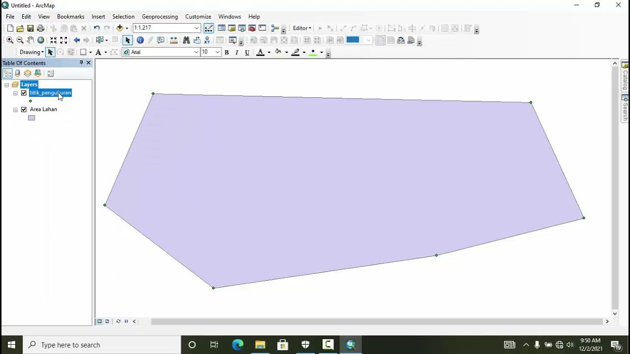
QGIS | Tutorial Membuat Peta Dengan Mudah Menggunakan QGIS v 3.28 Tahun 2024

Topographic Maps, Contour Lines, and Contour Intervals
TUTORIAL MEMBUAT PETA HASIL SURVEY DENGAN GPS
5.0 / 5 (0 votes)