Pengetahuan Dasar Peta , Peta dan Pemetaan - Materi Pembelajaran Geografi
Summary
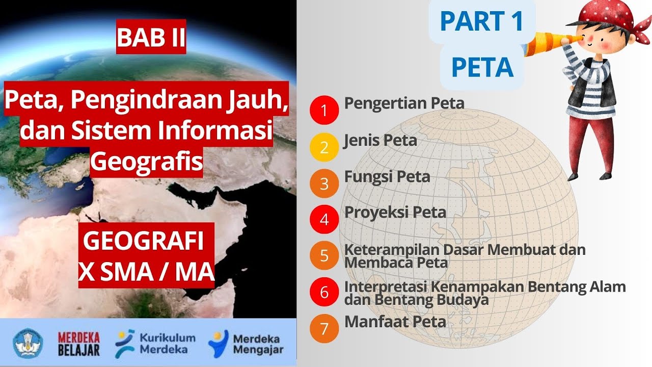
TLDRThis video covers the basics of maps and mapping, starting with the definition of a map as a representation of Earth's surface on a flat plane, scaled down. It explains key map components such as the title, orientation, scale, legend, and more. The video also delves into types of map projections, classification of maps based on scale, content (general and thematic), and form (relief, flat, digital). Additionally, it highlights the uses of maps, including showing locations, areas, and spatial information for technical or design purposes. Overall, it's an informative guide to understanding map fundamentals.
Takeaways
- 🗺️ The term 'map' originates from the Latin word 'mapa', meaning tablecloth, and represents a conventional depiction of the Earth's surface on a flat plane, scaled down.
- 📍 Key map components include the map title, orientation (compass directions), scale, inset, legend, borders, astronomical lines, lettering, symbols, and the map's source and year of creation.
- 🧭 The map title is used to describe the map's content and type, while orientation indicates compass directions, with north usually pointing up.
- 📏 The map scale shows the ratio of distances on the map to actual ground distances and can be represented verbally, numerically, or graphically.
- 🔍 An inset on the map provides the relative location of the mapped area in relation to surrounding areas, aiding in better understanding.
- 🔑 The legend explains the symbols used on the map, such as points, lines, areas, or color symbols, to help interpret the map's information.
- 🌍 The projection system is used to translate the Earth's curved surface onto a flat map, with different types like conical, cylindrical, and azimuthal projections for various latitudes.
- 📐 Key map-making requirements include maintaining shape (conform), area (equivalent), and distance (equidistant) relationships between the real world and the map.
- 🗂️ Types of maps can be categorized by scale (cadastral, large, medium, small) and content (general vs. thematic maps, like topographic or rainfall maps).
- 💻 Maps can exist in different forms: flat maps (paper or digital), relief maps (3D), or digital maps stored on magnetic or digital media for computer usage.
Q & A
What is the definition of a map according to the script?
-A map is a conventional depiction of the Earth's surface on a flat plane, reduced in size according to a specific scale.
What are the components of a map mentioned in the video?
-The components of a map include the title, orientation (compass direction), scale, insert, legend, borders, astronomical lines, lettering, symbols, and the source and year of creation.
What is the purpose of the title on a map?
-The title of a map describes the content and type of the map, usually written in capital letters, such as 'Administrative Map of South Sumatra Province.'
How does the orientation component of a map function?
-The orientation of a map shows directions, typically indicating where the north, south, east, and west are.
What is a map scale and what are its types?
-A map scale represents the ratio between distances on the map and real-world distances. The types mentioned are verbal scale, numerical scale, and bar scale.
What is the function of the insert in a map?
-An insert shows the relative position of the mapped area in relation to surrounding areas, helping clarify the location in comparison to nearby regions.
What is the significance of the astronomical lines on a map?
-Astronomical lines help determine the location of a place on the map using coordinate numbers like degrees, minutes, and seconds.
What types of projections are used to depict the Earth's surface on a flat map?
-The types of projections include conical (used for mid-latitudes), cylindrical (used for low latitudes), and azimuthal (used for high latitudes). These can be further categorized into gnomonic, stereographic, and orthographic projections.
What are the three conditions that must be met when creating a map?
-The conditions are: conform (the map must resemble the actual shape of the area), equivalent (the map area should match the real-world area), and equidistant (distances on the map should maintain proportionality to real distances).
What are the different types of maps based on their content?
-The video mentions two main types: general maps, which depict everything in an area, and thematic maps, which focus on specific features such as rainfall or geology.
Outlines

This section is available to paid users only. Please upgrade to access this part.
Upgrade NowMindmap

This section is available to paid users only. Please upgrade to access this part.
Upgrade NowKeywords

This section is available to paid users only. Please upgrade to access this part.
Upgrade NowHighlights

This section is available to paid users only. Please upgrade to access this part.
Upgrade NowTranscripts

This section is available to paid users only. Please upgrade to access this part.
Upgrade NowBrowse More Related Video

IPS kelas 7 bab 1a - Apa itu peta

PENGERTIAN PETA DAN SYARAT PETA #geography #education #kurikulummerdeka

Proyeksi Peta: Pengertian, Fungsi dan Jenisnya

PETA, PEMETAAN dan Pembuatan Peta
BAB 2 PETA, PENGINDRAAN JAUH, DAN SISTEM INFORMASI GEOGRAFIS | GEOGRAFI X SMA/MA | KURIKULUM MERDEKA

Sistem Proyeksi Peta
5.0 / 5 (0 votes)