LANDFORMS | Types Of Landforms | Landforms Of The Earth | The Dr Binocs Show | Peekaboo Kidz
Summary
TLDRThis educational video explores Earth's diverse landforms, including mountains, plains, plateaus, and deserts. It explains how external forces like wind and rain, along with internal processes such as tectonics and volcanic activity, shape the planet's surface. The video delves into the formation of fold, block, and volcanic mountains, the fertility of plains, and the rise of plateaus. It also addresses desertification, caused by human activities, and highlights the world's largest plateau, the Tibetan Plateau, emphasizing the importance of understanding these natural features.
Takeaways
- 🌏 Earth's landforms are its natural geographical features, such as mountains, hills, valleys, plateaus, and plains.
- 🌊 The formation of landforms involves both external processes like erosion and deposition by wind and rain, and internal processes like tectonics and volcanic eruptions.
- ⛰ Mountains are categorized into fold, block, and volcanic types, each formed by different geological processes.
- 🏞 Plains are generally flat areas with low relief, often formed by sedimentation from hills and mountains or lava flow.
- 🏞 Plateaus are elevated, flat landforms that rise sharply above the surrounding area, and can be either dissected or volcanic.
- 🏜 Deserts are dry, arid landscapes with little vegetation, often resulting from a lack of rainfall and human activities like overgrazing and deforestation.
- 🌋 Volcanic mountains are formed by magma rising from the mantle to the Earth's crust.
- 🏔 The Tibetan Plateau is the largest plateau in the world, stretching across Tibet, China, and India, and covering an area of 2.5 million square kilometers.
- 🌊 Underwater landforms, such as mountain ranges and basins, exist beneath the sea, with the Mariana Trench being the deepest landform on Earth.
- 🌱 Desertification is the process by which fertile land becomes desert, primarily caused by human activities.
- 🌳 Human activities, including overgrazing, deforestation, and poor irrigation practices, contribute to soil erosion and desertification.
Q & A
What are landforms and why are they significant?
-Landforms are the natural geographical or physical features of the Earth, such as mountains, hills, valleys, plateaus, and plains. They are significant as they shape the Earth's surface and influence ecosystems, climate, and human activities.
What are the two main processes that lead to the formation of landforms?
-The two main processes are external and internal processes. External processes like wind and rain cause erosion and deposition, while internal processes such as tectonics and volcanic eruptions are driven by the Earth's core heat.
What is erosion, and how does it contribute to landform formation?
-Erosion is a process where sediments are transported and deposited in different locations. It contributes to landform formation by shaping the Earth's surface through the removal and redistribution of materials like soil and rocks.
How do mountains form, and what are the three categories of mountains?
-Mountains form through various processes, including the collision of tectonic plates, vertical displacement of large rock areas, and volcanic activity. The three categories are fold mountains, block mountains, and volcanic mountains.
What are plains, and what makes them suitable for human habitation and agriculture?
-Plains are low and flat areas with low relief on the Earth's surface. They are suitable for human habitation and agriculture due to their fertile soil and generally flat terrain, which supports farming and other agricultural activities.
What is a plateau, and how does it differ from a plain?
-A plateau is a flat, elevated landform that rises sharply above the surrounding area on at least one side. Unlike plains, plateaus are elevated, often forming due to tectonic movements or volcanic activity.
What are the two categories of plateaus mentioned in the script?
-The two categories of plateaus are dissected plateaus, which form due to upward movement in the Earth's crust, and volcanic plateaus, which are formed by numerous small volcanic eruptions over time.
What is desertification, and how is it related to human activities?
-Desertification is the process by which fertile land becomes desert due to lack of rainfall and vegetation. Human activities such as overgrazing, deforestation, over-cultivation, and poor irrigation practices contribute significantly to desertification.
What is the largest plateau in the world, and where is it located?
-The largest plateau in the world is the Tibetan Plateau, located in Central Asia, stretching through Tibet, China, and India, and covering an area of 2.5 million square kilometers.
Can landforms exist underwater, and if so, what are some examples?
-Yes, landforms can exist underwater in the form of mountain ranges and basins. An example is the Mariana Trench, which is the deepest landform on Earth, located in the South Pacific Ocean.
What is the role of the creative team in presenting the information about landforms?
-The creative team is responsible for producing stunning graphics that help illustrate and explain the formation and types of landforms, enhancing the viewer's understanding of the subject matter.
Outlines

This section is available to paid users only. Please upgrade to access this part.
Upgrade NowMindmap

This section is available to paid users only. Please upgrade to access this part.
Upgrade NowKeywords

This section is available to paid users only. Please upgrade to access this part.
Upgrade NowHighlights

This section is available to paid users only. Please upgrade to access this part.
Upgrade NowTranscripts

This section is available to paid users only. Please upgrade to access this part.
Upgrade NowBrowse More Related Video

Types of Landforms | Landforms | Video for Kids

Types of Landforms | Learn about many different natural features of the earth
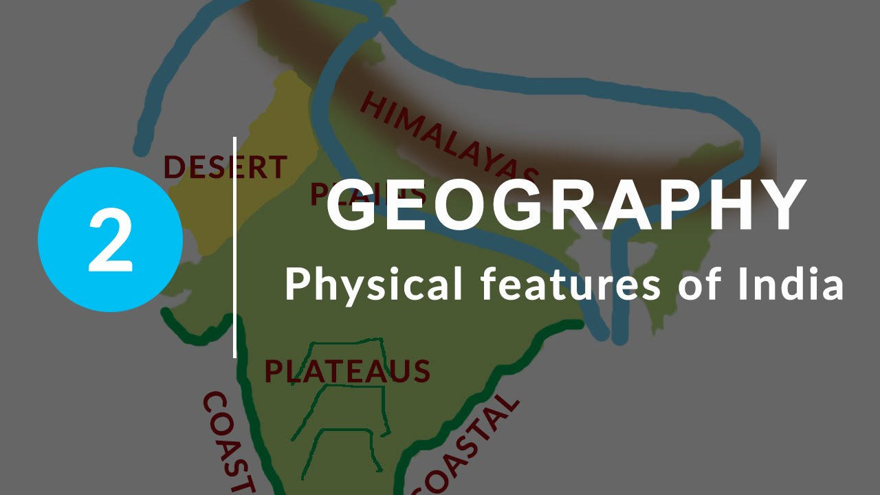
Physical Features of India - Chapter 2 Geography NCERT Class 9

Landforms, Hey!: Crash Course Kids #17.1

Relevo - O que é e suas principais formas

Physical Features of India | 10 Minutes Rapid Revision| Class 9 SST
5.0 / 5 (0 votes)