Mavic 3 Thermal Raptor Maps Solar Inspection Flight Planning for Standard Inspections (DJI M3T)
Summary
TLDRIn this tutorial, Cody Short from Skylink demonstrates how to plan a solar inspection flight using DJI Pilot 2 for the Mavic 3E drone. He guides viewers through setting up flight routes, selecting the inspection area, adjusting margins for comprehensive coverage, choosing the M3T sensor with RGB and IR capabilities, setting safe altitude, speed, and angle to align with solar panels. Cody also covers advanced settings like overlaps, custom camera angles, and saving the mission for execution, ensuring a thorough and efficient solar inspection process.
Takeaways
- 📱 Start by opening DJI Pilot 2 to plan a solar flight with the Mavic 3E.
- 🗺️ Use the flight route option to create a new route and select the area for inspection on the map.
- 🔍 Turn on street names for easier location identification in satellite view.
- 📍 Tap the screen to set boundaries and move pins to define the corners of the inspection site.
- 🛑 Ensure to include extra margin on the sides of the panels to avoid missing areas during inspection.
- 🔄 Square up the area and add safety margins to ensure complete coverage in the flight plan.
- 📝 Rename the flight plan with a relevant name, such as the site being inspected.
- 📷 Select the M3T sensor with both wide and IR options for capturing RGB and IR images.
- ✈️ Set a safe takeoff altitude and match it with the inspection altitude as per guidelines.
- 📐 Adjust the flight speed to 12 mph and the course angle to align with the panels for straight flight lines.
- 🔄 Set side overlaps to 25% and front overlap to 70% according to standard inspection guidelines.
- 📐 Add a custom camera angle to ensure the aircraft faces the panels while flying side to side.
- 🔍 Check the gimbal pitch to confirm it's set at 90° for optimal image capture.
- 💾 Save the mission with a unique name after reviewing all settings to ensure readiness for execution.
- 🔄 Review and execute the saved flight plan from the DJI Pilot 2 app when ready.
Q & A
What is the main topic of the video?
-The main topic of the video is solar flight planning using DJI Pilot 2 for the Mavic 3E drone.
Which DJI application is used for flight planning in the video?
-The DJI application used for flight planning in the video is DJI Pilot 2.
What is the first step in creating a flight route in DJI Pilot 2?
-The first step in creating a flight route in DJI Pilot 2 is to open the flight route option and select 'create a route'.
Why is it helpful to have street names turned on during the mapping process?
-It is helpful to have street names turned on during the mapping process to make it easier to find the location in satellite view.
What is the importance of selecting the correct boundaries for the site inspection?
-Selecting the correct boundaries for the site inspection ensures that all panels are included in the flight plan, preventing the need for reinspection.
Why is it recommended to add extra margin to the sides of the panels during flight planning?
-Adding extra margin to the sides of the panels ensures that the entire area is covered during inspection, reducing the chance of missing any panels.
What sensor or camera is used as an example in the video?
-The M3T sensor with both wide and IR capabilities is used as an example in the video.
What is the recommended safe altitude for inspection in the provided example?
-The recommended safe altitude for inspection in the provided example is 136 meters.
What is the recommended flight speed for a standard inspection according to the guidelines mentioned in the video?
-The recommended flight speed for a standard inspection is 12 mph.
How can you adjust the coarse angle to match the panels during flight planning?
-You can adjust the coarse angle by using the plus and minus buttons on the screen to ensure straight flight lines going side to side.
What are the standard side and front overlaps recommended in the video for capturing images?
-The standard side overlaps are 25% and the front overlap is 70% as per the guidelines mentioned in the video.
How can you set a custom camera angle during flight planning?
-You can set a custom camera angle by turning on the custom camera angle option, selecting 'defined', and adjusting the slider from 0° to 360° to face the direction indicated by the triangle on the screen.
What is the recommended action for the completion task in the flight plan?
-The recommended action for the completion task in the flight plan is to 'exit task' rather than 'coming home', depending on personal preference.
How can you review and execute the saved flight plans in DJI Pilot 2?
-You can review and execute the saved flight plans by going back to the main screen, selecting the desired flight plan, and turning on the aircraft to execute the plan.
Outlines

Этот раздел доступен только подписчикам платных тарифов. Пожалуйста, перейдите на платный тариф для доступа.
Перейти на платный тарифMindmap

Этот раздел доступен только подписчикам платных тарифов. Пожалуйста, перейдите на платный тариф для доступа.
Перейти на платный тарифKeywords

Этот раздел доступен только подписчикам платных тарифов. Пожалуйста, перейдите на платный тариф для доступа.
Перейти на платный тарифHighlights

Этот раздел доступен только подписчикам платных тарифов. Пожалуйста, перейдите на платный тариф для доступа.
Перейти на платный тарифTranscripts

Этот раздел доступен только подписчикам платных тарифов. Пожалуйста, перейдите на платный тариф для доступа.
Перейти на платный тарифПосмотреть больше похожих видео

Tutorial Maping Menggunakan Mavic Air 2 Dengan Aplikasi Dronedeploy

Mavic 2 Enterprise Advanced Thermal Drone - Start Your Own Commercial Drone Business!

Watch this BEFORE buying DJI Avata 2

Como trocar as hélices do drone agrícola de pulverização DJI Agras T20p e T40
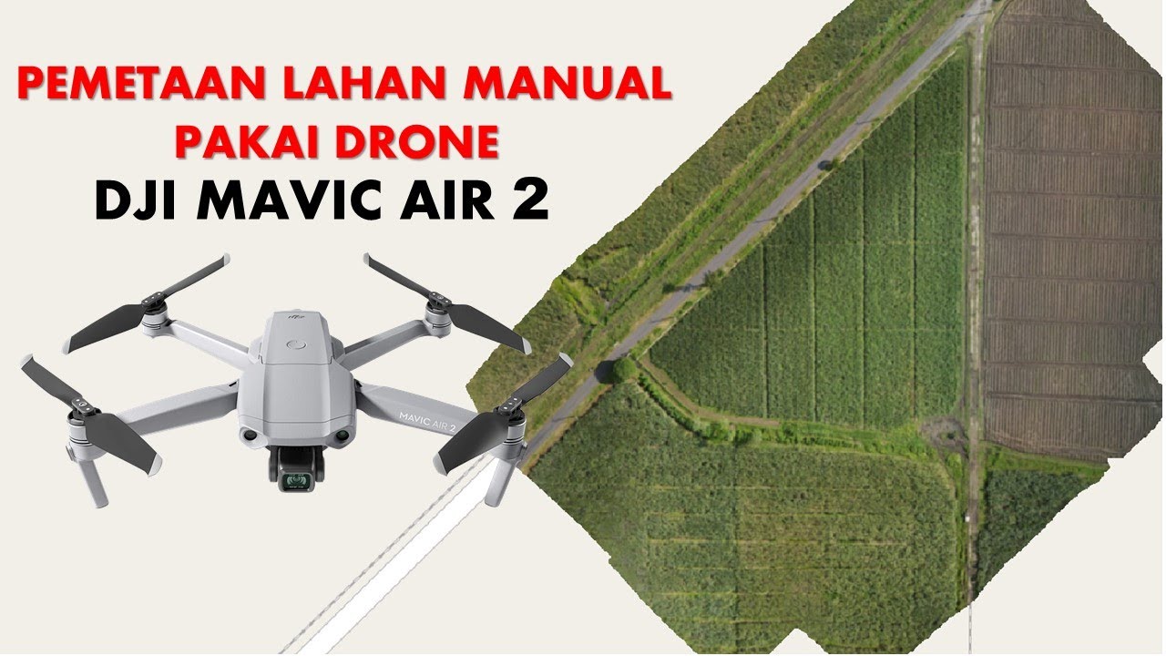
Cara Mapping Lahan dengan Drone MANUAL tanpa aplikasi MAPPING

Mapping and Spraying Fields with Mavic, Pix4D, and T50
5.0 / 5 (0 votes)
