Why every world map is wrong - Kayla Wolf

TED-Ed
29 Mar 202104:58

Summary

TLDRThis script explores the inherent inaccuracies of flat world maps due to the Earth's spherical nature. It traces the evolution from arbitrary placements to Ptolemy's grid system and Mercator's navigation-friendly distortions. Despite attempts like the Goode Homolosine and Dymaxion projections, no perfect map exists. The AuthaGraph World Map comes close to accuracy, yet the Mercator projection's influence persists, raising questions about representation and perception in cartography.

Takeaways

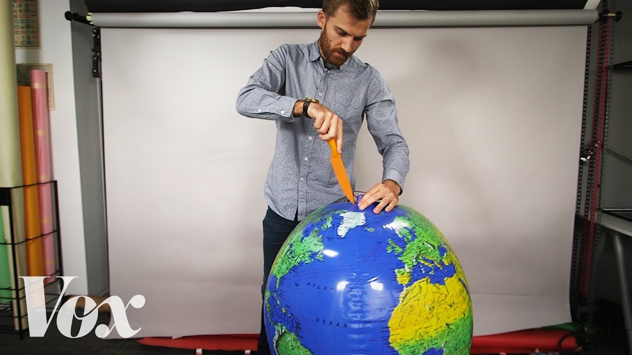
  • 🌍 All world maps are inherently inaccurate due to the impossibility of perfectly representing a spherical Earth on a flat surface.
  • 📏 The grid system with 180 lines of latitude and 360 lines of longitude was established by Ptolemy in 150 AD for more accurate mapping.
  • 🧭 Before the Mercator projection, navigation was challenging due to the need to constantly change direction when following curved routes on flat maps.
  • đŸ›Łïž Gerardus Mercator's 1569 map made navigation easier by straightening curved routes, but it distorted the size of land masses, especially near the poles.
  • 🌐 The Goode Homolosine Projection from 1925 aimed to minimize distortion for the entire world, offering both land and ocean-oriented views.
  • 🌐 The Dymaxion Projection by Buckminster Fuller in the 1940s presented a visually pleasing map with no visible distortions but lacked geographical clarity for practical use.
  • đŸ—ș The AuthaGraph World Map, designed by Hajime Narukawa in 1999, offers a more accurate representation of continents and oceans in proportion and a rectangular shape.
  • 🔍 Despite advancements, the Mercator projection remains widely used for its navigational utility and readability.
  • 🌈 Arno Peters' critique of the Mercator projection highlighted its reinforcement of a Eurocentric worldview by enlarging countries further from the equator.
  • 🌍 The Gall-Peters Projection attempted to counter the Eurocentric bias but still resulted in stretched continents.
  • đŸ« Maps play a crucial role in education and shape our perception of the world, with design choices influencing how we view different regions.

Q & A

  • Why are all world maps considered inaccurate?

    -All world maps are considered inaccurate because it's impossible to represent a spherical planet accurately on a flat surface without some distortion.

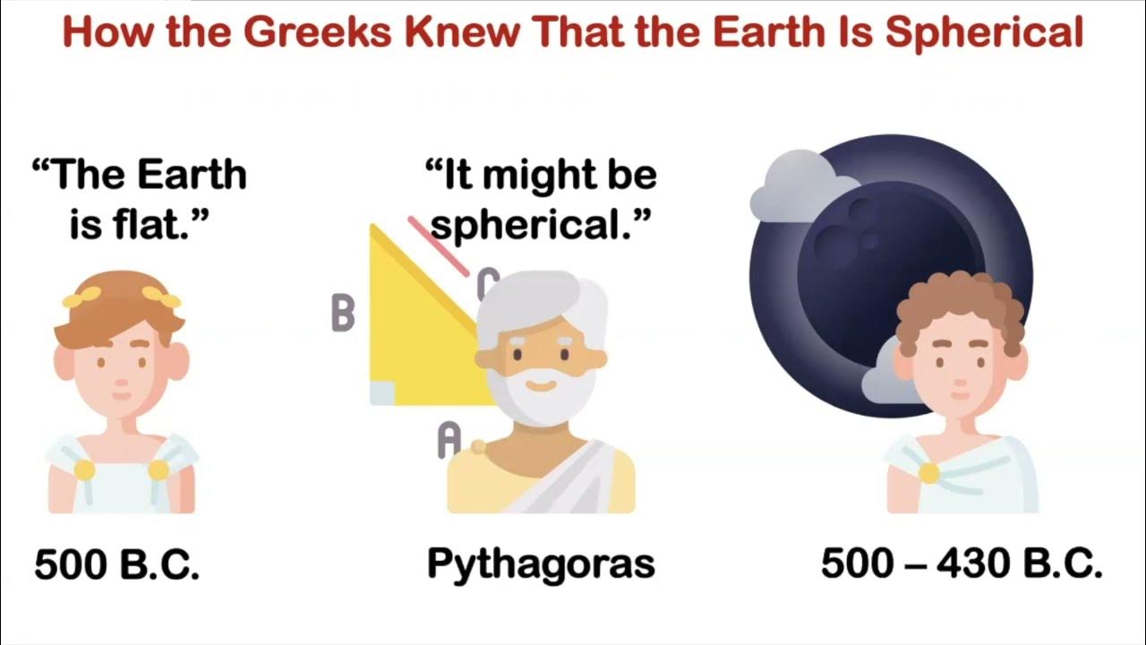
  • What was the first systematic attempt to map the Earth on a grid?

    -The first systematic attempt to map the Earth on a grid was made by the Greek mathematician and astronomer Ptolemy in 150 AD.

  • What are the two types of lines used by Ptolemy in his grid system for mapping the Earth?

    -Ptolemy used 180 lines of latitude and 360 lines of longitude in his grid system for mapping the Earth.

  • Why did Gerardus Mercator create a new world map in 1569?

    -Gerardus Mercator created a new world map in 1569 to fix the problem of navigation on flat maps by making curved navigational routes appear straight, allowing for constant bearing travel.

  • What was the main issue with Mercator's map?

    -The main issue with Mercator's map was that it distorted land masses and bodies of water, making areas further from the equator appear larger and those closer to the equator appear smaller.

  • What is the Goode Homolosine Projection and what was its purpose?

    -The Goode Homolosine Projection, created in 1925, is an interrupted pseudo-cylindrical equal area projection designed to minimize distortion for the entire world.

  • What is the Dymaxion Projection and who created it?

    -The Dymaxion Projection was created by American architect Buckminster Fuller in the 1940s. It aimed to present a map with no visibly evident distortions of land masses.

  • What makes the AuthaGraph World Map unique?

    -The AuthaGraph World Map, designed by Japanese architect Hajime Narukawa in 1999, is unique because it presents continents and oceans almost completely in proportion on a rectangular layout.

  • What was Arno Peters' critique of the Mercator projection?

    -Arno Peters critiqued the Mercator projection for enlarging European and North American countries, which he argued gave white nations a sense of supremacy over non-white nations closer to the equator.

  • What is the Gall-Peters Projection and how does it differ from the Mercator projection?

    -The Gall-Peters Projection, adapted by Arno Peters, counteracts the issue of size distortion in the Mercator projection by presenting continents in a more accurate proportion, although it still stretches their shapes.

  • How do changes in map design affect our perception of the world?

    -Changes in map design can shift our point of view by altering the way we perceive the size, shape, and relative positions of countries and continents, which in turn can influence our understanding and interpretation of the world.

Outlines

00:00

đŸ—ș The Inherent Flaws of World Maps

This paragraph discusses the impossibility of creating a completely accurate flat map of the spherical Earth. It highlights the historical development of map-making, starting with Ptolemy's grid system in 150 AD, which introduced the concept of latitude and longitude. The paragraph also touches on the challenges of navigation due to the Earth's round shape and the distortions introduced by Mercator's 1569 map, which aimed to simplify navigation at the expense of accurate land representation.

🌐 Mercator's Impact and Subsequent Projections

The paragraph examines the influence of Mercator's map, which, despite its distortions, became widely used for navigation. It then introduces the Goode Homolosine Projection of 1925, designed to minimize distortion, and the Dymaxion Projection by Buckminster Fuller in the 1940s, which aimed to present a distortion-free view of land masses. However, these projections also have their limitations in accurately conveying geographical relationships.

🌍 The Quest for a Perfect Map

This section presents the AuthaGraph World Map, created by Hajime Narukawa in 1999, as the most accurate projection to date, with continents and oceans almost perfectly proportioned on a rectangular layout. It also addresses the philosophical question of whether a 'perfect map' can exist, considering the practical advantages of Mercator's map for navigation and readability.

🔍 The Importance of Map Perspective in Education

The final paragraph reflects on the role of maps in education and the influence of map design on our perception of the world. It mentions Arno Peters' critique of the Mercator projection for its Eurocentric bias and his adaptation of the Gall-Peters Projection to counteract this issue. The paragraph concludes by emphasizing that maps are narratives shaped by their creators' perspectives, which can significantly impact our understanding of geography.

Mindmap

Keywords

💡World Map

A world map is a representation of the Earth's surface in two dimensions, which is a challenge due to the Earth's spherical shape. The script discusses the inaccuracies inherent in creating a flat map from a round planet and the historical development of map-making, emphasizing that every world map ever made has some degree of distortion.

💡Ptolemy

Ptolemy was a Greek mathematician and astronomer who, in 150 AD, introduced a systematic method of mapping the Earth on a grid using lines of latitude and longitude. His work laid the foundation for modern map-making, allowing for consistency and replicability in maps, as mentioned in the script.

💡Latitude and Longitude

Latitude and longitude are coordinate systems used to pinpoint locations on Earth. The script refers to Ptolemy's use of 180 lines of latitude and 360 lines of longitude to create a grid for mapping, which is still in use today for locating places on Earth.

💡Gerardus Mercator

Gerardus Mercator was a cartographer who, in 1569, developed a map projection that made navigation easier by representing curved routes as straight lines. The script highlights his contribution to map-making but also points out the distortion of landmasses in his projection.

💡Map Projection

A map projection is a method of representing a spherical surface on a flat surface. The script discusses various map projections, including Mercator's, which distorts the size of landmasses to maintain navigational accuracy.

💡Goode Homolosine Projection

The Goode Homolosine Projection, created in 1925, is an interrupted pseudo-cylindrical equal area projection that aims to minimize distortion for the entire world. The script mentions this projection as an attempt to create a more accurate world map.

💡Dymaxion Projection

The Dymaxion Projection, developed by Buckminster Fuller in the 1940s, is a map projection that aims to show the Earth without visible distortions of landmasses. The script notes that while it is visually appealing, it does not convey accurate geographical relationships between places.

💡AuthaGraph World Map

The AuthaGraph World Map, designed by Hajime Narukawa in 1999, is a map projection that attempts to show continents and oceans almost completely in proportion. The script presents this map as the most accurate to date, although it acknowledges that no map can be perfect.

💡Gall-Peters Projection

The Gall-Peters Projection, adapted by Arno Peters, is a map projection that counters the issue of size distortion in the Mercator projection, which he argued gave a sense of supremacy to European and North American countries. The script discusses this projection in the context of the political implications of map design.

💡Map Distortion

Map distortion refers to the inaccuracies that occur when representing a three-dimensional globe on a two-dimensional surface. The script explores various forms of distortion in different map projections and the implications of these distortions for our understanding of the world.

💡Navigation

Navigation is the process of determining position and direction to effectively travel from one place to another. The script discusses how Mercator's map projection facilitated navigation by making curved routes appear straight, allowing for constant bearing travel.

💡Perception

Perception in the context of the script refers to how the design and perspective of a map can influence our understanding and interpretation of the world. The script suggests that changes in map design can shift our point of view and shape our perception of geography.

Highlights

Every world map humans have ever made is wrong due to the impossibility of accurately representing a spherical planet on a flat surface.

Ptolemy introduced the first systematic grid-based mapping with 180 lines of latitude and 360 lines of longitude in 150 AD.

Early maps had arbitrary locations and inconsistent scales, leading to navigation difficulties.

Gerardus Mercator's 1569 map made navigation easier by straightening curved routes, but at the cost of distorting land masses.

Mercator's map is still widely used today, despite its inaccuracies in land size representation.

The Goode Homolosine Projection of 1925 aimed to minimize distortion for the entire world, offering both land and ocean-oriented views.

The Dymaxion Projection by Buckminster Fuller in the 1940s presented a distortion-free view but lacked geographical clarity.

The AuthaGraph World Map by Hajime Narukawa in 1999 is the most accurate projection to date, with continents and oceans almost completely in proportion.

Despite advancements, the Mercator projection remains popular for its navigational clarity and ease of reading.

Arno Peters' argument against the Mercator projection suggests it gives a sense of supremacy to white nations by enlarging their representation.

The Gall-Peters Projection counters the issue of representational supremacy but still results in stretched continents.

Maps, despite their imperfections, play a vital role in education and shape our perception of the world.

Simple changes in map design can significantly alter our viewpoint and understanding of geography.

The challenge of transferring a round Earth to a flat surface inevitably leads to some form of distortion in map projections.

The narrative of a map is influenced by the perspective of its creator, potentially skewing our understanding of the world's geography.

The development of map projections reflects the ongoing quest for a balance between accuracy and practicality in cartography.

Transcripts

play00:07

Fourteen Greenlands could fit in Africa,

play00:10

but you wouldn’t guess it from most maps of the world.

play00:12

The fact is, every world map humans have ever made is wrong.

play00:17

Actually, it’s impossible to make a map of the world 100% right.

play00:22

No, not you, globe— we know you’re accurate.

play00:25

Not you, Google Earth, you’re just a digital globe.

play00:28

We're talking about flat maps, which, let's face it,

play00:32

are way more convenient for a lot of things.

play00:35

Anyway, as we were saying,

play00:36

it’s impossible to make a 100% accurate flat map of a spherical planet.

play00:42

For a long time, people didn't even try.

play00:44

They just plonked places down in arbitrary locations without any consistent scale.

play00:50

Then in 150 AD, the Greek mathematician and astronomer Ptolemy

play00:54

systematically mapped the Earth on a grid

play00:57

and placed locations on the grid according to coordinates,

play01:00

so maps could be checked against others and replicated.

play01:05

Ptolemy built his grid out of lines we still use today:

play01:08

180 lines of latitude and 360 lines of longitude.

play01:14

In spite of these advances, people kept getting lost.

play01:18

Part of the problem was a— shall we say—

play01:20

incomplete understanding of the world’s geography.

play01:24

But it was also just really difficult to navigate using a map.

play01:28

Because the Earth is round,

play01:30

the shortest route from one place to another is a path along a circle.

play01:35

If we draw this route on a flat map,

play01:37

it passes through every line of longitude at a different angle.

play01:41

To follow the route, you’d have to constantly shift

play01:44

the direction you're traveling.

play01:47

Any slight error would land you in the wrong place.

play01:51

In 1569, Gerardus Mercator fixed this problem.

play01:55

He created a world map proportioned

play01:58

so these curved navigational routes would be straight,

play02:02

passing through every line of longitude at the same angle

play02:05

and therefore allowing navigators to set a constant bearing—

play02:08

in other words, travel in one direction— for a whole journey.

play02:12

There was just one tiny hitch:

play02:14

to do this, he had to distort land masses and bodies of water

play02:18

so those furthest from the equator got larger

play02:21

and those closest to the equator shrank.

play02:24

In spite of its inaccuracies, Mercator’s map was very useful.

play02:28

In fact, it’s still widely used today, including in online maps.

play02:32

But it’s still wrong!

play02:35

In 1925, the Goode Homolosine Projection was created as— get this—

play02:40

an interrupted pseudo-cylindrical equal area projection.

play02:45

What does that mean? Not important.

play02:46

The point was to minimize distortion for the entire world.

play02:50

The map can be land-oriented... or ocean-oriented.

play02:55

Either way, the so-called orange peel map isn’t very easy to read.

play03:00

The Dymaxion Projection by American architect Buckminster Fuller

play03:03

in the 1940s is even better.

play03:06

Sorry, did we say better?

play03:07

It’s not better if you want to understand where things are in the world.

play03:10

It is better in the sense that there are no visibly evident distortions

play03:15

of the land masses.

play03:16

Though if you wanted to know, say, how far Brazil is from Nigeria,

play03:21

you won’t get any sense of that from this map.

play03:24

The most accurate projection to date is the AuthaGraph World Map

play03:28

designed by Japanese architect Hajime Narukawa in 1999.

play03:32

The continents and oceans are almost completely in proportion,

play03:35

and the map is rectangular, just how we like it.

play03:39

Could this be the perfect map?

play03:42

Well... no.

play03:43

Since the Mercator works for navigation and reads clearly,

play03:46

why bother with all these whacky maps?

play03:49

Arno Peters argued that by enlarging European and North American countries,

play03:54

the Mercator projection gives white nations a sense of supremacy

play03:57

over non-white nations closer to the equator.

play04:00

He adapted the Gall-Peters Projection, which counteracts that particular problem,

play04:05

but the continents are still... stretched.

play04:09

Today, we rely on maps less and less for navigation,

play04:11

but they still play a vital role in education.

play04:15

Peters was definitely on to something:

play04:17

no matter what map we’re looking at,

play04:19

it’s a story told from the perspective of the map’s creator

play04:22

that in turn shapes—perhaps unduly— our perception of our world.

play04:27

Simple changes in map design,

play04:29

even changes that have nothing to do with how we transfer

play04:32

a round Earth to a flat surface, can completely shift our point of view.

Rate This
★
★
★
★
★

5.0 / 5 (0 votes)

Étiquettes Connexes
World MapsGeographical DistortionMercator ProjectionNavigational AccuracyGerardus MercatorGoode HomolosineDymaxion ProjectionAuthaGraph World MapHajime NarukawaCultural BiasEducational Maps
Besoin d'un résumé en anglais ?