Beginilah Cara Kerja Garis Di Peta Dalam Membaca Iklim!!!
Summary
TLDRThe video explains the concept of imaginary lines on maps and globes, such as the equator and meridians, which help determine coordinates and time zones. It also explores how these lines are used to divide the world into climate zones: tropical, subtropical, temperate, and polar. Each climate zone has distinct characteristics that influence weather patterns, biodiversity, and agriculture. The script emphasizes the role of geographic factors like proximity to the equator in shaping climate. The classification system, developed by Vladimir Köppen, is introduced as a key tool in understanding global climate distribution.
Takeaways
- 😀 The Earth is divided by imaginary lines that help determine coordinates, time zones, and climates.
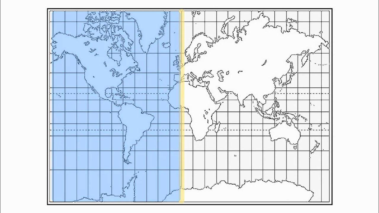
- 😀 The equator is an imaginary horizontal line dividing the Earth into the Northern and Southern Hemispheres.
- 😀 Latitude lines measure distance north or south of the equator, while the equator itself is at 0 degrees latitude.
- 😀 Longitude lines measure distance east or west of the Prime Meridian, which is located at 0 degrees longitude in Greenwich, England.
- 😀 The Prime Meridian divides the Earth into the Eastern and Western Hemispheres, much like the equator divides the Northern and Southern Hemispheres.
- 😀 Lines of latitude, longitude, the equator, and the Prime Meridian are crucial for accurate global mapping and navigation.
- 😀 Climate zones are influenced by geographic location, proximity to the equator, ocean currents, and wind patterns.
- 😀 The Earth's climate is classified into four major zones: Tropical, Subtropical, Temperate, and Polar.
- 😀 Tropical zones are found between the equator and 23.5 degrees latitude, with high temperatures and high rainfall year-round.
- 😀 Subtropical climates have distinct seasons, with hot summers and mild winters, and they are found between 23.5 and 40 degrees latitude.
- 😀 The Polar regions are characterized by cold temperatures, long winters, and short, cool summers, located beyond 66.5 degrees latitude.
Q & A
What is the function of the horizontal and vertical lines on maps and globes?
-These lines, such as latitude and longitude, serve to divide the map into grid-like sections, helping determine precise coordinates and assisting in the measurement of time zones and climate zones.
What is the Equator and why is it important?
-The Equator is an imaginary horizontal line that divides the Earth into the Northern and Southern Hemispheres. It is considered 0 degrees latitude and plays a crucial role in determining climate zones and global navigation.
What are lines of latitude and longitude, and how do they function?
-Lines of latitude are horizontal lines that measure the distance north or south of the Equator, while lines of longitude are vertical lines that measure east or west of the Prime Meridian. Together, they help pinpoint exact locations on Earth.
What is the Prime Meridian and where is it located?
-The Prime Meridian is the 0-degree longitude line that passes through Greenwich, England. It divides the Earth into the Eastern and Western Hemispheres and serves as the standard reference for longitude measurements worldwide.
How do latitude and longitude assist in navigation?
-Latitude and longitude provide exact coordinates that enable accurate navigation, whether for mapping, surveying, or global positioning systems, helping users identify their precise location on Earth.
How do climate zones correlate with geographic lines like the Equator?
-Climate zones are influenced by factors such as geographic location and proximity to the Equator. Areas closer to the Equator generally experience higher temperatures, while those farther away have cooler climates.
What are the main climate zones on Earth?
-The Earth has four main climate zones: Tropical, Subtropical, Temperate, and Polar. These zones are determined by the Earth's latitude and other environmental factors, influencing the temperature and precipitation patterns in each region.
What is the significance of the Tropical Climate Zone?
-The Tropical Climate Zone is located between 0 degrees (Equator) and 23.5 degrees latitude. It is characterized by high temperatures and high rainfall throughout the year, supporting lush rainforests and diverse ecosystems.
What is the difference between the Subtropical and Temperate Zones?
-The Subtropical Zone, located between 23.5 and 40 degrees latitude, has warmer temperatures and clear seasonal changes, while the Temperate Zone, between 40 and 66.5 degrees latitude, experiences more distinct seasons, with warmer summers and cold winters.
How does the Polar Climate Zone differ from the other climate zones?
-The Polar Climate Zone, found above 66.5 degrees latitude in the northern and southern extremities, is characterized by long, harsh winters and short, cool summers. It includes regions like Antarctica and the Arctic.
Outlines

Cette section est réservée aux utilisateurs payants. Améliorez votre compte pour accéder à cette section.
Améliorer maintenantMindmap

Cette section est réservée aux utilisateurs payants. Améliorez votre compte pour accéder à cette section.
Améliorer maintenantKeywords

Cette section est réservée aux utilisateurs payants. Améliorez votre compte pour accéder à cette section.
Améliorer maintenantHighlights

Cette section est réservée aux utilisateurs payants. Améliorez votre compte pour accéder à cette section.
Améliorer maintenantTranscripts

Cette section est réservée aux utilisateurs payants. Améliorez votre compte pour accéder à cette section.
Améliorer maintenantVoir Plus de Vidéos Connexes

COORDENADA GEOGRÁFICA: Paralelos, Meridianos, Latitudes e Longitudes

LOCATING PLACES USING COORDINATE SYSTEM I LATITUDE AND LONGITUDE I SCIENCE 7 QUARTER 4 WEEK 1

Le coordinate geografiche

What Are Latitude & Longitude? | Locating Places On Earth | The Dr Binocs Show | Peekaboo Kidz
Latitude and Longitude-Hommocks Earth Science Department
ATPL General Navigation - Class 3: Great Circles and Rhumb Lines.
5.0 / 5 (0 votes)
