Public Weather Forecast issued at 4AM | December 06, 2024 - Friday
Summary
TLDRThe weather in the Philippines is influenced by two major weather systems: the northeast monsoon and the sheer line. The monsoon affects the northern part of Luzon, causing cloudy skies and light rain, while the sheer line brings thunderstorms to parts of Northern Luzon and the Visayas. No major storms are expected in the next five days, though there is a possibility of a low-pressure area forming in the southeast. Isolated rain showers and thunderstorms are forecasted for various regions, with temperatures ranging from 24°C to 34°C. The weekend will see continued rain, especially in the northern and eastern parts of the country, so carrying an umbrella is advised.
Takeaways
- 😀 The Northeast Monsoon is affecting the northernmost part of Northern Luzon, bringing cooler temperatures and light rain.
- 🌧️ The Shear Line is causing scattered rain and thunderstorms in parts of Northern Luzon, particularly Batanes, Cagayan, Isabela, and the Cordillera Administrative Region.
- 🌦️ A low-pressure area may develop in Mindanao along the Intertropical Convergence Zone, bringing possible rain in the region.
- 🌤️ Metro Manila will experience partly cloudy to cloudy skies, with temperatures ranging from 24°C to 32°C, and scattered rain in some areas.
- 🌧️ Central and Southern Luzon, including Quezon, Aurora, and Bicol, will have occasional rain and thunderstorms, especially in the afternoons.
- 🌥️ The Visayas will experience partly cloudy to cloudy skies, with isolated rain showers, particularly in the eastern and central parts.
- 🌩️ In Mindanao, generally fair weather is expected, but afternoon showers and thunderstorms are possible in central areas, with temperatures reaching up to 34°C.
- 🌊 There are no Gale Warnings in effect, but northern coastal waters may experience moderate to rough seas, particularly in Northern Luzon.
- ⚠️ The weather over the weekend will be rainy across many regions, especially in areas affected by the shear line and northeast monsoon.
- ⛅ On Monday, December 9, expect continued rain and thunderstorms in Northern and Central Luzon, including Bicol and parts of the northern Sumar.
- 🌅 The sunrise will occur at 6:08 AM, and sunset will be at 5:26 PM, marking the start and end of the day for the Philippines.
Q & A
What are the two weather systems affecting the Philippines?
-The two weather systems currently affecting the Philippines are the sheer line and the northeast monsoon.
How does the northeast monsoon affect the Philippines?
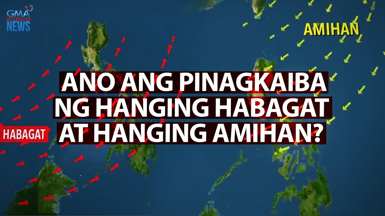
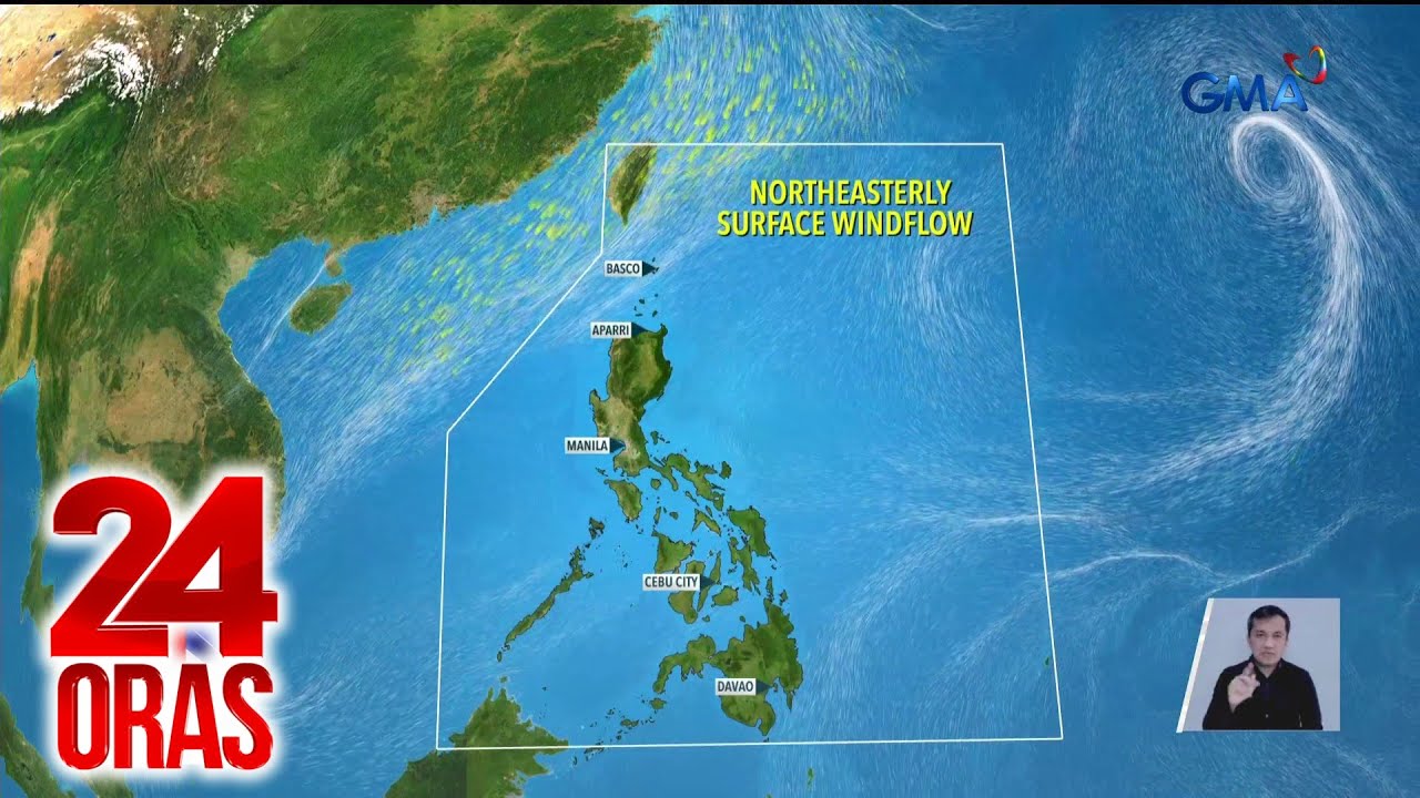
-The northeast monsoon is affecting the northernmost parts of Northern Luzon, bringing cool temperatures and some rain.
What is the sheer line, and where is it having an impact?
-The sheer line is where the cold northeast monsoon meets the warm easterlies. It is causing rain and thunderstorms, particularly in Northern Luzon, including Batanes, Cagayan, Isabela, and the Cordillera Administrative Region.
Are there any typhoons expected to enter the Philippine Area of Responsibility (PAR)?
-No, there are no typhoons expected to enter the PAR within the next five days, though a low-pressure area may form near Mindanao.
What weather conditions are expected in Batanes due to the northeast monsoon?
-In Batanes, the northeast monsoon will bring cloudy weather and light rain, with occasional thunderstorms.
How is the weather affecting Metro Manila?
-Metro Manila will experience partly cloudy skies, with occasional rain showers. The temperature will range from 24°C to 32°C.
What weather conditions are expected in the Visayas over the weekend?
-The Visayas will experience partly cloudy skies, with scattered showers and thunderstorms, especially in the eastern and central regions, typically in the afternoon.
What are the temperature ranges in Palawan and the Visayas?
-In Palawan, the temperature will range from 26°C to 32°C. In the Visayas, the temperature will be similar, from 26°C to 32°C.
What are the current conditions in Mindanao, and how will they change?
-Mindanao will have fair weather with occasional cloudy conditions, especially in the morning. In the afternoon and evening, isolated rain showers or thunderstorms are likely, with temperatures reaching up to 34°C in some areas.
What is the status of sea conditions around the Philippines?
-Sea conditions remain generally calm in most areas, but small sea vessels should be cautious along the northern Luzon coast due to moderate waves (up to 3.4 meters) caused by the northeast monsoon.
Outlines

Cette section est réservée aux utilisateurs payants. Améliorez votre compte pour accéder à cette section.
Améliorer maintenantMindmap

Cette section est réservée aux utilisateurs payants. Améliorez votre compte pour accéder à cette section.
Améliorer maintenantKeywords

Cette section est réservée aux utilisateurs payants. Améliorez votre compte pour accéder à cette section.
Améliorer maintenantHighlights

Cette section est réservée aux utilisateurs payants. Améliorez votre compte pour accéder à cette section.
Améliorer maintenantTranscripts

Cette section est réservée aux utilisateurs payants. Améliorez votre compte pour accéder à cette section.
Améliorer maintenantVoir Plus de Vidéos Connexes

FACTORS AFFECTING WEATHER

Ano ang pinagkaiba ng Hanging Habagat at Hanging Amihan? | Need to know

Panimulang ihip ng Amihan, unti-unti nang nagpaparamdam | 24 Oras

Weather update as of 11:05 a.m. (September 19, 2024) | Balitanghali

PAGASA warns of heavy rains due to ‘habagat’

Mengenal Angin Muson, Angin Pembawa Musim Hujan dan Musim Kemarau | #SimpleNewsVideo
5.0 / 5 (0 votes)
