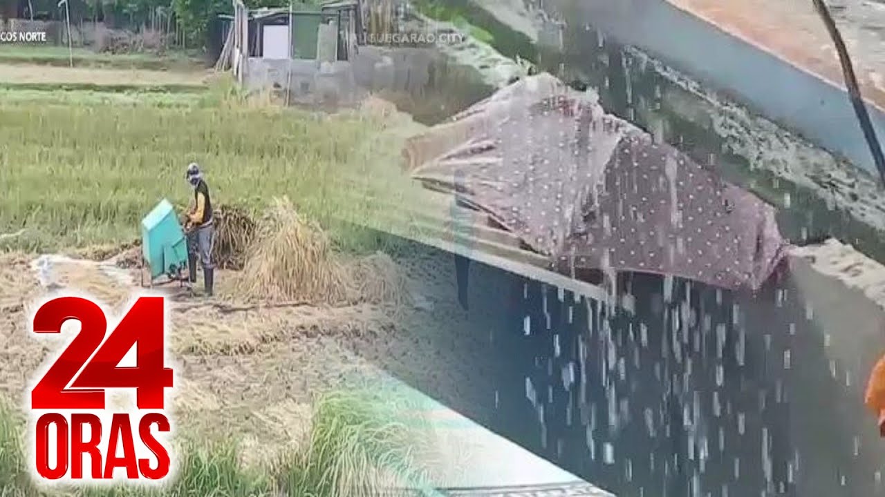
Update sa dalawang bagyo sa labas ng Philippine Area of Responsibility | 24 Oras
Summary
TLDRThe update discusses the monitoring of two storms, Christina and Leon, affecting the Philippines. Storm Christina is currently outside the Philippine Area of Responsibility but still raises Signal No. 1 in several regions, leading to gusty winds and heavy rainfall exceeding monthly averages in Central Luzon and Calabarzon. Storm Leon is expected to enter PAR soon, potentially bringing additional rainfall to Northern Luzon and influencing weather patterns across the country. Residents are advised to remain cautious over the weekend as significant rain is anticipated in various regions.
Takeaways
- 🌪️ Two typhoons are currently being monitored: Typhoon Christina and Typhoon Leon.
- 🌧️ Typhoon Christina is located 410 km west of Sinait, Ilocos Sur, and has Signal No. 1 in effect for several areas.
- 📉 Despite being outside the Philippine Area of Responsibility (PAR), Typhoon Christina still impacts local weather conditions.
- ☔ Heavy rainfall has been recorded in Central Luzon and Calabarzon, exceeding monthly averages in some areas.
- 🚨 Residents in affected regions should be cautious of potential gusty winds from Typhoon Christina.
- 🌊 Typhoon Leon is expected to enter the PAR soon and will approach Northern Luzon over the weekend.
- 🌬️ Typhoon Leon may bring rains to Southern Luzon, Visayas, and Mindanao, particularly in the western regions.
- ⚠️ The forecast predicts continued rainfall throughout the weekend in Central and Southern Luzon.
- 🌈 No Fujiwara effect is observed currently, but the situation will be monitored for potential interactions between the two typhoons.
- ☂️ Residents are advised to stay prepared and carry umbrellas if going out during the weekend due to expected rain.
Q & A
What is the status of Typhoon Christina as of the latest update?
-Typhoon Christina has exited the Philippine Area of Responsibility (PAR) and is located 410 km west of Sinait, Ilocos Sur, but Signal No. 1 is still in effect for several areas.
Which areas are under Signal No. 1 due to Typhoon Christina?
-Areas under Signal No. 1 include Metro Manila, Ilocos Norte, Ilocos Sur, La Union, Pangasinan, Apayao, Kalinga, Abra, Mountain Province, Ifugao, Benguet, Cagayan, Babuyan Islands, Isabela, Quirino, Nueva Vizcaya, Tarlac, Zambales, Bataan, Pampanga, Bulacan, northern Rizal, and northern Cavite.
What rainfall conditions were reported in Central Luzon and Calabarzon?
-Regions in Central Luzon and Calabarzon have recorded rainfall exceeding monthly averages, particularly in Ambulong, Tanauan City, Batangas, Tanay in Rizal, and Dagupan City in Pangasinan.
What is the expected path of the incoming Typhoon Leon?
-Typhoon Leon is expected to enter the PAR by tomorrow or Sunday, moving towards Northern Luzon while possibly influencing weather patterns in Southern Luzon.
What should residents in the affected areas expect from Typhoon Leon?
-Residents should be prepared for possible rain brought by the outer rainbands of Typhoon Leon, especially in Northern Luzon and regions in Southern Luzon, Visayas, and Mindanao.
What is the potential for a Fujiwara effect between the two typhoons?
-Currently, the potential for a Fujiwara effect is low since the two typhoons are still far apart and have not reached a distance where interaction typically occurs.
What is the weather forecast for the upcoming weekend?
-The weather forecast for the weekend indicates occasional rains in Central and Southern Luzon, with the possibility of heavy rainfall in areas such as Mindoro, Palawan, Bicol, Panay, Negros, Samar, and parts of Mindanao.
How does Typhoon Christina's exit from PAR affect the rainfall in the Philippines?
-Even though Typhoon Christina has exited the PAR, its influence may still cause rain in affected areas, particularly due to its lingering outer rainbands.
What precautions should residents take during this weather update?
-Residents in affected areas should remain vigilant, prepare for possible heavy rain, and follow local weather advisories to ensure their safety.
Who provided the weather update and where is it reported from?
-The weather update was provided by Amor L. Rosa, reporting from the GMA Integrated News Weather Center.
Outlines

Cette section est réservée aux utilisateurs payants. Améliorez votre compte pour accéder à cette section.
Améliorer maintenantMindmap

Cette section est réservée aux utilisateurs payants. Améliorez votre compte pour accéder à cette section.
Améliorer maintenantKeywords

Cette section est réservée aux utilisateurs payants. Améliorez votre compte pour accéder à cette section.
Améliorer maintenantHighlights

Cette section est réservée aux utilisateurs payants. Améliorez votre compte pour accéder à cette section.
Améliorer maintenantTranscripts

Cette section est réservée aux utilisateurs payants. Améliorez votre compte pour accéder à cette section.
Améliorer maintenantVoir Plus de Vidéos Connexes

Bagyong Dante at Bagyong Emong, humahatak at pinalalakas ang Habagat; malaking bahagi... | 24 Oras

Ilang taga-Batanes, nagtatali ng bubong bilang paghahanda sa bagyo | 24 Oras

Bagyong #OfelPH at #PepitoPH, posibleng magsabay sa loob ng PAR ngayong araw | Unang Balita

New tropical storm possible in the Philippines

MASSIMA ATTENZIONE IN PIEMONTE! SITUAZIONE CRITICA! (17/04/25)

ABC World News Tonight with David Muir Full Broadcast - Feb. 10, 2025
5.0 / 5 (0 votes)
