Where is it? Celestial coordinates explained
Summary
TLDRThis video script explores various coordinate systems, starting with the Earth's latitude and longitude, which use the equator and prime meridian as references. It then delves into celestial coordinates, highlighting the equatorial system with right ascension and declination, and the historical ecliptic system. The script also introduces the horizontal coordinate system (Alt-Az), which is based on local observations relative to the horizon and north. The presenter, Nico Carver, simplifies complex astronomical concepts and mentions tools like GO-TO systems and planetarium apps that aid in understanding these systems, promising a future discussion on the apparent size of celestial objects.
Takeaways
- 📏 A typical coordinate system uses reference planes to define positions, like latitude and longitude on Earth.
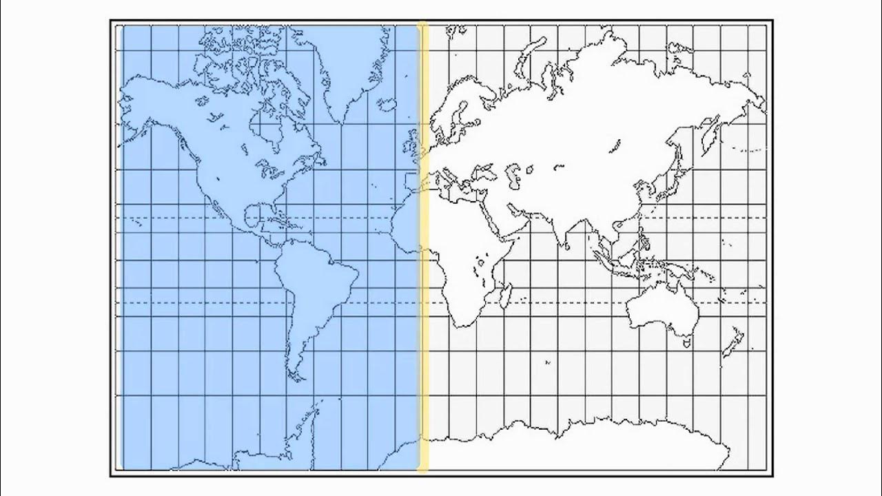
- 🌐 Latitude measures the angular distance north or south from the equator, while longitude measures east or west from the prime meridian in Greenwich, England.
- 🌟 In celestial coordinates, the equatorial system uses the Earth's equator as a reference plane extended into space.
- 🕰 Right ascension, part of equatorial coordinates, is measured eastward from the sun's position at the vernal equinox and is often expressed in hours, minutes, and seconds.
- 🌡 Declination in the equatorial system is similar to latitude, measuring up or down from the celestial equator, and is expressed in degrees.
- 🔭 The equatorial mount's 'GPS', or GO-TO system, uses location and time data to automatically point a telescope at celestial objects.
- 🌄 The horizontal coordinate system, or Alt-Az, uses the observer's local north and horizon as reference planes, varying with time and location.
- 📱 Planetarium software and apps can convert equatorial coordinates to horizontal coordinates, simplifying astronomical observations.
- 📖 The book 'Longitude' by Dava Sobel provides a detailed history of why Greenwich was chosen as the prime meridian reference.
- 🌌 The vernal equinox's significance in astronomy is its use as a fixed point for measuring right ascension in the celestial coordinate system.
Q & A
What are the two reference planes in a typical coordinate system?
-In a typical coordinate system, the two reference planes are used to define any location as the distance from these planes.
What is the significance of the equator and the prime meridian in the context of latitude and longitude?
-The equator serves as the reference plane for measuring latitude, which is the angular distance north or south from the equator. The prime meridian in Greenwich, England, is the reference for measuring longitude, which is the angular distance east or west from Greenwich.
Why do we measure longitude from the Royal Observatory in Greenwich, England?
-The script does not provide the reason in this context, but it suggests reading 'Longitude' by Dava Sobel for a detailed explanation.
What is the ecliptic and how does it relate to the zodiac constellations?
-The ecliptic is the path that the sun appears to follow over the course of a year, and it is the basis for the positions of the zodiac constellations.
How does the equatorial coordinate system differ from the ecliptic system?
-The equatorial coordinate system uses the Earth's equator as a reference plane extended into space, unlike the ecliptic system which is based on the sun's path.
What are the two components of equatorial coordinates for the night sky?
-The two components are right ascension, measured eastward from the sun's position on the vernal equinox, and declination, measured from the Earth's equator projected into space.
Why is right ascension commonly measured in hours, minutes, and seconds instead of degrees?
-Right ascension is measured in hours, minutes, and seconds to divide the celestial sphere into 24 parts, analogous to the hours on a clock, rather than 360 degrees.
What is a GO-TO system in the context of equatorial mounts for telescopes?
-A GO-TO system is an automated feature that uses the observer's location, time, and date to calculate and point the telescope to specific celestial objects.
What is the horizontal coordinate system, also known as Alt-Az, and how does it differ from equatorial coordinates?
-The horizontal coordinate system, or Alt-Az, uses the observer's local north and the horizon as reference planes, providing coordinates that are specific to the time and location of the observation. It differs from equatorial coordinates which are constant regardless of the observer's location and time.
Why are horizontal coordinates (Alt-Az) easier to understand for observers?
-Horizontal coordinates are easier to understand because they relate directly to the observer's local environment, with altitude indicating height above the horizon and azimuth indicating direction from north.
How can the apparent position of celestial objects change when switching from equatorial to horizontal coordinates?
-The apparent position of celestial objects can change when switching from equatorial to horizontal coordinates because the latter is dependent on the observer's location and the time of observation, while the former is a fixed reference frame.
Outlines

Esta sección está disponible solo para usuarios con suscripción. Por favor, mejora tu plan para acceder a esta parte.
Mejorar ahoraMindmap

Esta sección está disponible solo para usuarios con suscripción. Por favor, mejora tu plan para acceder a esta parte.
Mejorar ahoraKeywords

Esta sección está disponible solo para usuarios con suscripción. Por favor, mejora tu plan para acceder a esta parte.
Mejorar ahoraHighlights

Esta sección está disponible solo para usuarios con suscripción. Por favor, mejora tu plan para acceder a esta parte.
Mejorar ahoraTranscripts

Esta sección está disponible solo para usuarios con suscripción. Por favor, mejora tu plan para acceder a esta parte.
Mejorar ahora5.0 / 5 (0 votes)


