A Brief History of Geodesy [720p]
Summary
TLDRThe script narrates the evolution of geodesy, a science that measures Earth's size, shape, and movements. Originating from Ancient Egypt with Eratosthenes' discovery, it has advanced to using satellites and radio telescopes. Geodesy has enabled precise mapping, navigation, and understanding of Earth's gravity and crust movements, impacting our daily lives and scientific exploration.
Takeaways
- 🌐 Eratosthenes of Ancient Egypt pioneered geodesy by calculating the Earth's circumference using shadows and distances between cities.
- 📏 Geodesy is the science of measuring and representing the Earth's size, shape, and position, including its past, present, and future states.
- 🛰️ Triangulation and geodesy helped in creating detailed maps and understanding the Earth's imperfect spherical shape.
- 🚢 Accurate determination of latitude and longitude using stars and timepieces revolutionized navigation for sea voyages.
- 🗺️ Exploration and mapping of uncharted territories were facilitated by geodesic techniques, leading to the discovery of the world's highest peak.
- 🚂 Geodesy played a crucial role in the construction of railroads, including the precise alignment of rail tunnels through mountains.
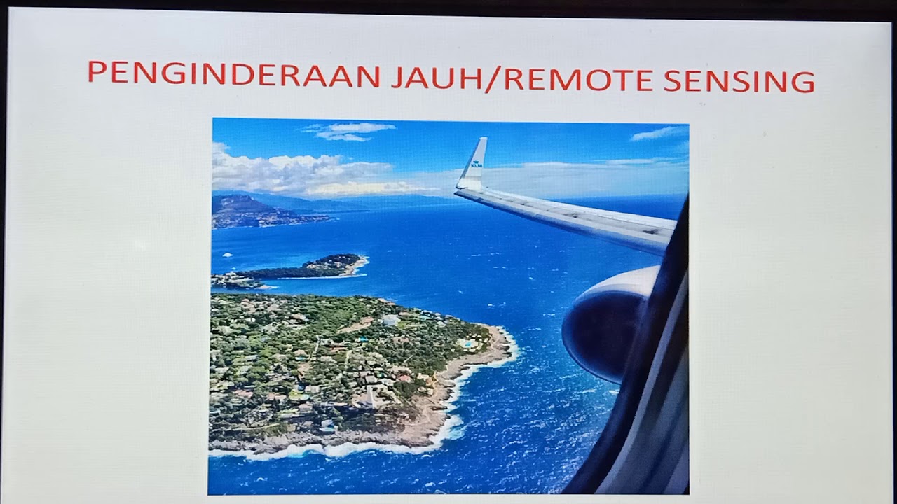
- 📡 The advent of radio telescopes and satellites expanded geodesy's applications to include precise distance measurements and Earth's crust movements.
- 🌍 Satellite data analysis contributes to understanding the Earth's changing size, shape, gravity, and the dynamics of its rotation and wobble.
- 🌊 Laser measurements from satellites have enabled the study of ocean and ice sheet heights, as well as the intricacies of tidal movements.
- 🔭 From its ancient beginnings to modern satellite technology, geodesy continues to significantly influence our understanding and interaction with the Earth.
Q & A
Who was Eratosthenes and what did he discover?
-Eratosthenes was a clever human from Ancient Egypt who discovered a method to measure the Earth's circumference by observing the Sun's position and the shadows' angles in different cities.
What is the science of geodesy?
-Geodesy is the science of measuring and representing the Earth, including determining the location of objects on its surface, their past and future positions.
How did geodesy contribute to our understanding of the Earth's shape?
-Geodesy helped us learn that the Earth is not a perfect sphere but slightly thicker in the middle, through methods like triangulation and expeditions to measure its shape.
What practical applications of geodesy are mentioned in the script?
-Practical applications of geodesy include creating detailed maps, determining latitude and longitude for navigation, and enabling the construction of rail tunnels and infrastructure that aligns accurately.
How did the invention of radio telescopes and satellites enhance geodesy?
-The invention of radio telescopes and satellites allowed for more accurate measurements of distances, monitoring of Earth's crust movements, and analysis of its changing size, shape, and gravity.
What role did triangulation play in the development of geodesy?
-Triangulation was crucial in creating detailed maps of countries and understanding the Earth's shape, as it allowed for precise measurements of distances and angles.
How did the use of stars and accurate watches aid in determining latitude and longitude?
-Using stars as reference points and accurate watches enabled the reliable determination of latitude and longitude, which was essential for navigation and exploration.
What is the significance of the Earth being 'a bit thicker in the middle'?
-The Earth's slight bulging at the equator, known as the oblate spheroid shape, is significant for understanding its gravitational forces and for accurate geodetic measurements.
How have satellites contributed to our knowledge of Earth's gravity and tides?
-Satellites have allowed for the analysis of Earth's gravity by studying their orbits and have also enabled the study of changes in ocean height and shape, contributing to our understanding of tides.
What is the connection between geodesy and the construction of railroads?
-Geodesy provided the precise measurements needed for the construction of railroads, ensuring that tunnels and tracks could be accurately aligned over long distances.
How has geodesy impacted our daily lives from its ancient beginnings to today?
-Geodesy has impacted our daily lives by enabling accurate navigation, mapping, and construction, and by contributing to our understanding of Earth's dynamics and environmental changes.
Outlines

Esta sección está disponible solo para usuarios con suscripción. Por favor, mejora tu plan para acceder a esta parte.
Mejorar ahoraMindmap

Esta sección está disponible solo para usuarios con suscripción. Por favor, mejora tu plan para acceder a esta parte.
Mejorar ahoraKeywords

Esta sección está disponible solo para usuarios con suscripción. Por favor, mejora tu plan para acceder a esta parte.
Mejorar ahoraHighlights

Esta sección está disponible solo para usuarios con suscripción. Por favor, mejora tu plan para acceder a esta parte.
Mejorar ahoraTranscripts

Esta sección está disponible solo para usuarios con suscripción. Por favor, mejora tu plan para acceder a esta parte.
Mejorar ahora


5.0 / 5 (0 votes)
