Arcgis Pro - Tutorial 1 - Pengenalan
Summary
TLDRIn this tutorial video, the presenter introduces various features of a software used for geographic mapping. They begin by demonstrating the workspace interface, including the 2D and 3D map views. The tutorial covers how to start new projects, organize them, and work with templates. Key functionalities like using the mouse for exploration, navigating through bookmarks, and searching locations are explained. The video also highlights tools for measuring distances and areas, customizing maps, and working with both 2D and 3D views. The presenter concludes by teasing future tutorials and encouraging viewers to stay tuned for more.
Takeaways
- 😀 The tutorial begins with an introduction to the software interface, emphasizing the importance of understanding the various views available in the program.
- 😀 The user interface has multiple views: 2D map view, 3D view, and a hybrid 2.5D view, each serving a different purpose for the user.
- 😀 Users can start new projects by selecting 'Create New Project' and defining project-specific folders for proper organization.
- 😀 The software allows easy navigation to recent projects, which helps users quickly access previously worked-on files.
- 😀 The 2D map view is the default starting point, where users can create and interact with maps and projects.
- 😀 The 3D view allows users to work with a more immersive, three-dimensional representation of data.
- 😀 The hybrid 2.5D view combines elements of both 2D and 3D for a more flexible visualization of projects.
- 😀 Users can manipulate the display settings to adjust what is shown, including using tools like the 'Expander' to manage the interface.
- 😀 The tutorial also covers tools like the 'Bookmark' for saving specific sections and the 'Goto' feature to jump to locations within the project.
- 😀 The software offers measurement tools for calculating distances and areas, such as the ability to switch between measurement units (meters, kilometers, hectares).
- 😀 A map insert feature allows users to add new maps or adjust the existing ones, with options to change views between 2D and 3D for better project visualization.
Q & A
What is the main topic of the tutorial in this video?
-The main topic of the tutorial is about how to use a software for handling 2D and 3D maps, focusing on the features like creating new projects, navigating through different map views, and measuring distances and areas.
What is the function of the 'Recent Project' section in the software?
-The 'Recent Project' section displays the projects that have been recently worked on. If no projects have been created yet, this section will be empty.
What does the 'Map' view represent in the software?
-The 'Map' view represents a 2D display of the map, which allows users to see a flat representation of the geographical area.
What is the 'Bisnet' mentioned in the tutorial?
-The 'Bisnet' is a tool or feature that appears in the software interface, likely related to network or project data integration, though its exact function is not fully clarified in the tutorial.
How does the software assist users in creating new projects?
-When creating a new project, the software prompts users to choose a folder location and project name, creating a separate folder for the project files. The user can also specify the file format and location for saving the project.
What is the function of the 'Bookmark' button?
-The 'Bookmark' button allows users to save specific locations or areas on the map for quick access later, helping in efficient navigation.
How does the software help in finding specific locations?
-The software includes a search function where users can type in the name of a location, such as 'Medan,' and the software will display relevant results and directly navigate to that area on the map.
What is the 'Insert' tab used for in the software?
-The 'Insert' tab is used to add or modify map data. It allows users to add animated layers to the 2D maps or switch between different map views, including transitioning to 3D map displays.
Can the software measure distances and areas on the map?
-Yes, the software includes features to measure both distances and areas. Users can select a measuring tool, such as the Mitre method, to measure the distance or area between points on the map.
How does the software handle units for measuring distance?
-The software allows users to choose different units for measuring distances. For example, users can switch between meters and kilometers depending on their preference or needs.
Outlines

Dieser Bereich ist nur für Premium-Benutzer verfügbar. Bitte führen Sie ein Upgrade durch, um auf diesen Abschnitt zuzugreifen.
Upgrade durchführenMindmap

Dieser Bereich ist nur für Premium-Benutzer verfügbar. Bitte führen Sie ein Upgrade durch, um auf diesen Abschnitt zuzugreifen.
Upgrade durchführenKeywords

Dieser Bereich ist nur für Premium-Benutzer verfügbar. Bitte führen Sie ein Upgrade durch, um auf diesen Abschnitt zuzugreifen.
Upgrade durchführenHighlights

Dieser Bereich ist nur für Premium-Benutzer verfügbar. Bitte führen Sie ein Upgrade durch, um auf diesen Abschnitt zuzugreifen.
Upgrade durchführenTranscripts

Dieser Bereich ist nur für Premium-Benutzer verfügbar. Bitte führen Sie ein Upgrade durch, um auf diesen Abschnitt zuzugreifen.
Upgrade durchführenWeitere ähnliche Videos ansehen

Zahir Accounting 6 | Cara Instal Aplikasi Zahir Accounting 6
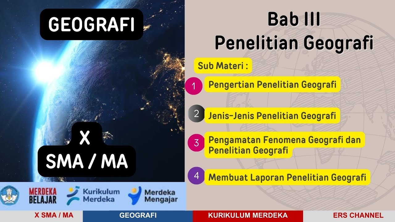
BAB 3 PENELITIAN GEOGRAFI | X SMA / MA | KURIKULUM MERDEKA
#1 - Pengenalan MasterCam
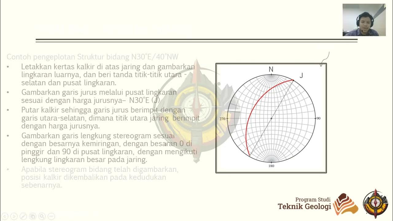
Praktikum Geologi Struktur 2024 - Modul 3. Proyeksi Stereografi - 3. Pengenalan Dips

ArcGIS Pro: Introduction to the interface and overview
Hướng dẫn dùng DUCT CHECKER tính ống gió, vận tốc, tổn thất cột áp
5.0 / 5 (0 votes)
