Definisi dan Komponen Penginderaan Jauh (Remote Sensing)
Summary
TLDRThis educational video delves into the concept and components of remote sensing, a field that involves gathering information about objects or phenomena without direct contact. It highlights the use of satellite imagery and aerial vehicles, such as drones, each with distinct features and purposes. The video explains the roles of natural and artificial energy sources, the atmosphere's impact on electromagnetic radiation, and object-energy interactions. It also covers the detection methods, the importance of platforms and sensors, and the diverse applications of remote sensing data in various fields like geology, forestry, and marine studies.
Takeaways
- 📚 Remote sensing is defined as the science and art of acquiring information about objects or phenomena without direct contact.
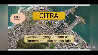
- 🌐 Examples of remote sensing outcomes include satellite images and aerial photography, each with distinct characteristics and functions.
- 🛰️ Landsat 8 is a United States satellite launched in 2013, a collaboration between NASA and USGS, offering free image downloads from the Earth Explorer website.
- 🤖 Unmanned Aerial Vehicles (UAVs), or drones, come in various types such as quadcopters and fixed-wing drones, each serving different functions and purposes.
- 🌞 The energy source for remote sensing is divided into natural sources like the sun and artificial sources created by humans to enhance electromagnetic waves.
- 🌁 The atmosphere is composed of gases and molecules that can absorb, reflect, and transmit electromagnetic radiation, affecting remote sensing data.
- 🌈 Interaction between objects and energy is seen through the colors produced, with each object having unique characteristics to reflect or emit energy to sensors.
- 📊 Reflectance spectral curves illustrate the relationship between wavelength and the amount of reflected power, showing differences in reflectance between various surfaces like dry grass and asphalt.
- 🛰️ The platform in remote sensing is the hardware that carries the sensor or recording device, serving to transport the sensor into the air.
- 🔍 Sensors can be photographic, recording objects through chemical processes, or electronic, working electrically across a broad spectrum to produce images.
- 💾 Data processing in remote sensing involves manual interpretation using tools like stereoscopes for 3D effects and numerical data obtained through specialized software.
- 🌐 The applications of remote sensing data span across various fields including geology, forestry, population studies, and marine sciences.
Q & A
What is remote sensing?
-Remote sensing is a science and art of acquiring information about objects or phenomena without direct contact by analyzing data obtained using instruments.
What are some examples of remote sensing outputs?
-Examples of remote sensing outputs include satellite images such as Landsat 8 and aerial photographs taken by UAVs or drones.
When was the Landsat 8 satellite launched?
-The Landsat 8 satellite was launched on February 11, 2013.
What is the collaboration behind the Landsat 8 satellite?
-Landsat 8 is a collaboration between NASA and the United States Geological Survey (USGS).
How can one access images from the Landsat 8 satellite?
-Images from the Landsat 8 satellite can be downloaded for free from the Earth Explorer website.
What are the different types of drones mentioned in the script?
-The script mentions quadcopter drones, GPS drones, and fixed-wing drones as examples of aerial vehicles.
What are the two types of energy sources in remote sensing?
-The two types of energy sources in remote sensing are natural energy sources, such as sunlight, and artificial energy sources created by humans.
What is the role of the atmosphere in remote sensing?
-The atmosphere consists of various gases and molecules that can absorb, reflect, and transmit electromagnetic radiation, affecting the remote sensing process.
How does the interaction between objects and energy manifest in remote sensing?
-The interaction can be seen in the colors produced by objects, which have different characteristics for reflecting or emitting energy to sensors.
What is the concept of spectral reflectance mentioned in the script?
-Spectral reflectance refers to the ratio of reflected energy to incident energy at different wavelengths, which can be used to analyze the properties of objects.
What is the role of the platform in remote sensing?
-The platform, or vehicle, is the hardware that carries the sensor or recording device in remote sensing, serving to transport the sensor into the air.
What are the two types of sensors used in remote sensing?
-The two types of sensors are photographic sensors, which record objects through a chemical process, and electronic sensors, which work electrically across a broader spectrum from X-rays to radio waves.
How is data from remote sensing processed?
-Data from remote sensing is processed into manual data, which involves interpreting images using tools like stereoscopes for 3D effects, and numerical data, which is obtained through specialized remote sensing software.
What are some fields where remote sensing data can be applied?
-Remote sensing data can be used in various fields including geology, forestry, population studies, oceanography, and other areas.
Outlines

Dieser Bereich ist nur für Premium-Benutzer verfügbar. Bitte führen Sie ein Upgrade durch, um auf diesen Abschnitt zuzugreifen.
Upgrade durchführenMindmap

Dieser Bereich ist nur für Premium-Benutzer verfügbar. Bitte führen Sie ein Upgrade durch, um auf diesen Abschnitt zuzugreifen.
Upgrade durchführenKeywords

Dieser Bereich ist nur für Premium-Benutzer verfügbar. Bitte führen Sie ein Upgrade durch, um auf diesen Abschnitt zuzugreifen.
Upgrade durchführenHighlights

Dieser Bereich ist nur für Premium-Benutzer verfügbar. Bitte führen Sie ein Upgrade durch, um auf diesen Abschnitt zuzugreifen.
Upgrade durchführenTranscripts

Dieser Bereich ist nur für Premium-Benutzer verfügbar. Bitte führen Sie ein Upgrade durch, um auf diesen Abschnitt zuzugreifen.
Upgrade durchführen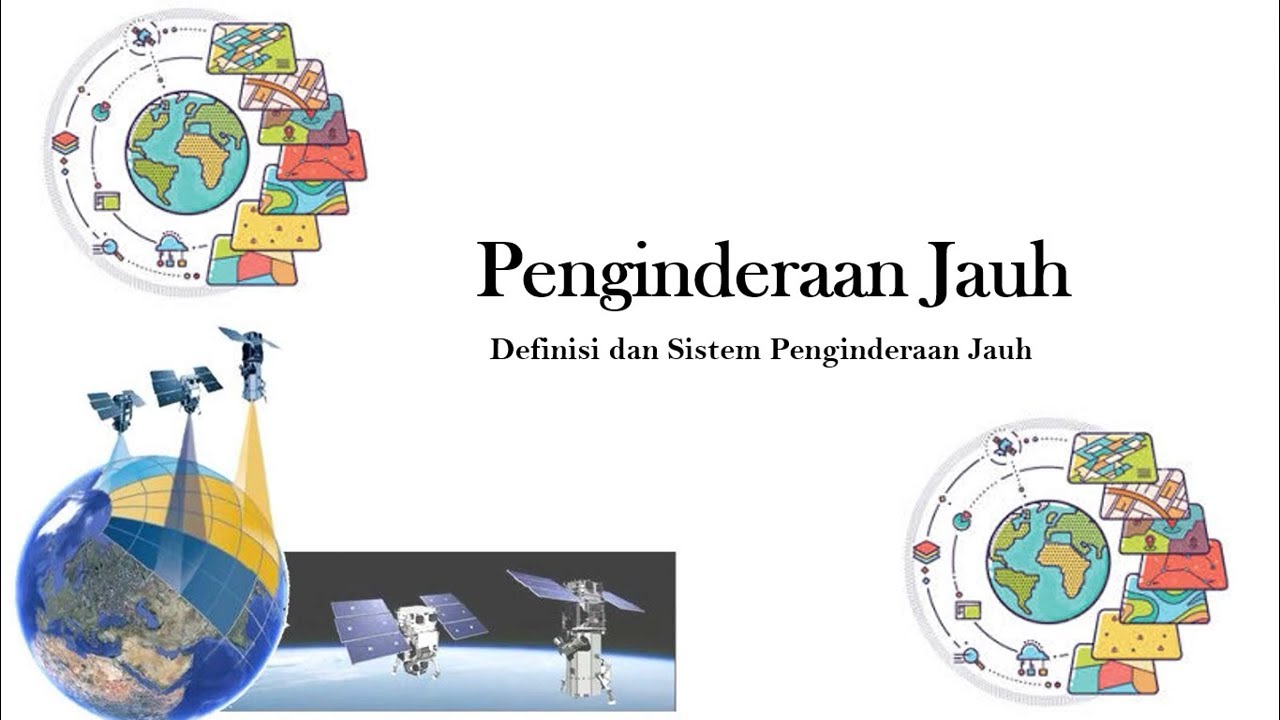


5.0 / 5 (0 votes)
