K12 B DENSITY NCRS
Summary
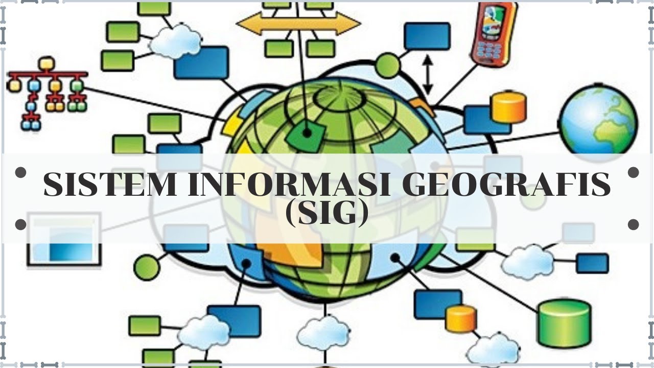
TLDRThis transcript provides a detailed exploration of feature density analysis in Geographic Information Systems (GIS), focusing on methods such as Kernel Density Estimation (KDE), point density, and spatial statistics. The script emphasizes the importance of selecting appropriate parameters, like radius size and spatial units, to accurately calculate feature density, such as population or disaster occurrences. It explains techniques like annulus, circular, and irregular methods for calculating density and highlights how these approaches help understand spatial distributions, such as hotspots or environmental impacts like landslides.
Takeaways
- 😀 Kernel density is a method used to calculate the density of points or polygons in a given area, adjusting for irregular surface forms.
- 😀 Kernel density helps determine population density and spatial distribution in an area, which is crucial for analyzing social or environmental factors.
- 😀 The kernel approach adjusts the size of the area of analysis by using a radius to calculate density, focusing on points and adjacent features within that radius.
- 😀 The concept of annulus involves defining an inner and outer radius to calculate density within a specific band or range around a feature.
- 😀 Point density analysis involves calculating the concentration of points based on a set distance, often using methods like circles or annulus to define neighborhoods.
- 😀 In spatial analysis, choosing the right radius is crucial for accurate results, as a smaller radius may overlook broader trends, while a larger radius may over-generalize patterns.
- 😀 The use of spatial statistics and clustering techniques in density analysis helps identify hotspots, like areas of frequent landslides or dense populations.
- 😀 Different shapes can be used for neighborhood analysis, including circles, squares, or even irregular shapes based on the data being studied.
- 😀 The analysis of density also depends on the scale of the area being studied (e.g., provincial, district, or local level), influencing the choice of radius and method.
- 😀 Output results from density analysis can vary depending on the radius selected, affecting the interpretation of features like landslide risk or wildlife distribution.
Q & A
What is the primary focus of the density analysis discussed in the script?
-The primary focus is on analyzing feature density, which is crucial in geographic information systems (GIS) to understand the spatial distribution of various features, such as population density, flora, and fauna.
What is Kernel Density and how is it used in spatial analysis?
-Kernel Density is a method used to calculate the density of features in a specific area by measuring how features are distributed over space. It is useful in understanding patterns like population distribution or hotspots by applying a kernel function to adjust the shape of the resulting surface.
Why is the concept of radius important in Kernel Density analysis?
-The radius is important because it determines the area over which density is measured. By adjusting the radius, analysts can explore different levels of density, such as areas of high or low population concentration, which is crucial for targeted spatial analysis.
What happens if an incorrect radius is chosen for Kernel Density analysis?
-If the radius is set incorrectly, the results may not accurately reflect the density. For example, using too large a radius can obscure the details, while a too-small radius might miss important features or patterns.
What are some other spatial density methods mentioned in the script besides Kernel Density?
-Other methods mentioned include Point Density, which counts the number of points within a specified area, and Line Density, which measures the density of linear features like roads or fault lines.
How does the Annulus method work in density analysis?
-The Annulus method involves calculating density within two concentric circles or radii. It measures the difference in density between the inner and outer radius, helping to focus on areas of interest within a specific range.
What is the significance of 'no data' in density calculations?
-'No data' refers to areas that fall outside the radius or those that do not meet the conditions for inclusion in the analysis. These regions are excluded from density calculations and are marked as such in the output.
How does Point Density differ from other density calculation methods?
-Point Density calculates how many points fall within a given area, often using a fixed distance (radius). Unlike Kernel Density, which creates a smooth surface, Point Density counts individual points, making it useful for specific event or feature occurrences.
How does adjusting the radius impact the results of density analysis?
-Adjusting the radius directly impacts the scale of the analysis. A larger radius captures a broader area, showing more generalized patterns, while a smaller radius focuses on finer details, potentially identifying specific hotspots or patterns more precisely.
What are the potential applications of density analysis in real-world scenarios?
-Density analysis can be applied in various fields such as urban planning (e.g., understanding population distribution), environmental science (e.g., tracking wildlife hotspots), and disaster management (e.g., identifying areas prone to landslides or other hazards).
Outlines

此内容仅限付费用户访问。 请升级后访问。
立即升级Mindmap

此内容仅限付费用户访问。 请升级后访问。
立即升级Keywords

此内容仅限付费用户访问。 请升级后访问。
立即升级Highlights

此内容仅限付费用户访问。 请升级后访问。
立即升级Transcripts

此内容仅限付费用户访问。 请升级后访问。
立即升级


5.0 / 5 (0 votes)
