ESCALA CARTOGRÁFICA - GEOBRASIL {PROF. RODRIGO RODRIGUES}
Summary
TLDRIn this educational video, Professor Rodrigo Rodrigues explains the concept of cartographic scale, focusing on how maps represent geographic areas. He discusses the difference between small and large scales, emphasizing that smaller scales show larger areas with fewer details, while larger scales show smaller areas with more details. The video explains the importance of understanding scale in map reading, as it impacts the amount of detail and the area that can be observed. Professor Rodrigues also highlights how the scale influences our ability to interpret and visualize geographic spaces accurately.
Takeaways
- 😀 Cartographic scale is the reduction of geographic space to fit on a map, often involving mathematical principles.
- 😀 Cartographic scale is divided into two types: graphic scale and numerical scale.
- 😀 A typical numerical scale reads as '1 to 1 million,' meaning that 1 cm on the map equals 1 million cm in reality.
- 😀 The larger the distance you are from the point you're observing, the fewer details you can see, leading to a smaller scale.
- 😀 A smaller distance from what you're observing leads to more details, resulting in a larger scale.
- 😀 A small scale indicates a distant view with fewer details but a larger observational area.
- 😀 A large scale represents a closer view, with many more details, but a reduced observational area.
- 😀 As the scale increases, the number (1:100, 1:5000) gets smaller, while the amount of detail increases.
- 😀 Large-scale maps offer high detail but limited context of the surrounding area, focusing more closely on the subject.
- 😀 A small-scale map allows for a broader view with less detail but captures more of the surrounding area.
- 😀 The teacher encourages viewers to follow GeoBrasil on social media platforms like YouTube, Instagram, and Facebook for more content.
Q & A
What is cartographic scale, and why is it important?
-Cartographic scale is a representation of the reduction of geographic space to fit on a map. It is important because it helps understand how real-world distances are represented in a smaller form on a map.
What are the two types of cartographic scales discussed in the video?
-The two types of cartographic scales are graphical scale and numerical scale.
How do you interpret a cartographic scale of 1:1,000,000?
-A scale of 1:1,000,000 means that one centimeter on the map corresponds to one million centimeters in reality.
What does it mean if the distance between you and an object is one million centimeters?
-If you are one million centimeters away from an object, it means the map offers only a small amount of detail about the object, as you are observing it from a far distance.
How does the level of detail in a map change when the scale is larger?
-When the scale is larger, meaning you are closer to the object or area being observed, the map offers more detail about the location.
What happens when you are 100 centimeters away from the object you want to observe?
-When you are only 100 centimeters away, the map provides much more detail because you're observing from a much closer distance.
How do scale and the level of detail relate to one another?
-As the scale increases, the level of detail increases. A smaller scale means you are observing a larger area with fewer details, while a larger scale means you are focusing on a smaller area with greater detail.
What is the relationship between scale and the area or amplitude you can observe?
-A smaller scale (fewer details) allows you to observe a larger area, whereas a larger scale (more details) means you are observing a smaller area, losing the broader context.
What does it mean when a map has a small scale?
-A map with a small scale has less detail but covers a larger area, allowing you to see more of the surrounding environment.
What happens to the amplitude or extent of observation as the scale increases?
-As the scale increases and you observe with more detail, the amplitude or extent of observation decreases. This means you lose the ability to observe the surrounding area.
Outlines

此内容仅限付费用户访问。 请升级后访问。
立即升级Mindmap

此内容仅限付费用户访问。 请升级后访问。
立即升级Keywords

此内容仅限付费用户访问。 请升级后访问。
立即升级Highlights

此内容仅限付费用户访问。 请升级后访问。
立即升级Transcripts

此内容仅限付费用户访问。 请升级后访问。
立即升级浏览更多相关视频
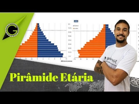
Pirâmide Etária - Geobrasil
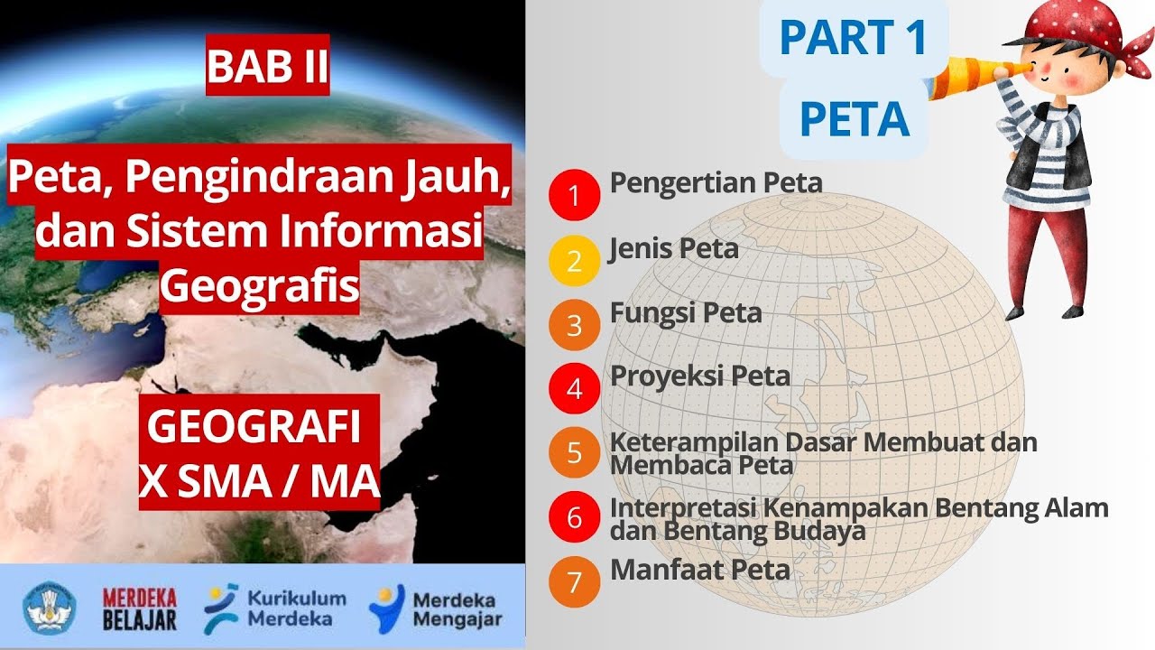
BAB 2 PETA, PENGINDRAAN JAUH, DAN SISTEM INFORMASI GEOGRAFIS | GEOGRAFI X SMA/MA | KURIKULUM MERDEKA
Kaidah Kartografis | Definisi, Konsep, Tujuan, Regulasi

Classificação dos Relevos - Geobrasil {Prof. Rodrigo Rodrigues}

Território - Geobrasil
Jenis Peta Tematik Kartografi Tematik
5.0 / 5 (0 votes)
