Cara Kerja Topografi Drone Lidar , Survey Ribuan Hektar dengan Mudah dan Akurasi Tinggi
Summary
TLDRThis video explains the process of topographic mapping using drone-based LiDAR technology. It highlights the key tools used in LiDAR measurements, including the drone, LiDAR sensor, and GPS geodetic systems. The sensor captures 720,000 data points per second, allowing for highly accurate topographic data. The video also demonstrates how LiDAR technology can penetrate vegetation to map ground surfaces, providing detailed 3D models. Various applications such as urban areas, conservation, and mining are also covered. The video concludes with an invitation for further inquiries through comments or contact information.
Takeaways
- 😀 The presentation focuses on topographic mapping using drones and LiDAR technology.
- 😀 LiDAR sensors can capture up to 720,000 points per second, offering highly detailed data.
- 😀 The essential equipment for topographic measurement includes a drone, LiDAR sensor, and GPS geodetic systems.
- 😀 GPS geodetic systems on the ground help correct data for improved accuracy.
- 😀 The GPS geodetic system on the drone provides precise location data, ensuring accuracy up to 3 cm.
- 😀 LiDAR works by emitting laser or light energy, which reflects back after hitting the ground or objects.
- 😀 The time taken for the laser to travel to the ground and back is used to calculate distances and elevation.
- 😀 LiDAR's electromagnetic spectrum typically ranges from 500 to 1000 nm, ideal for penetrating vegetation and capturing ground data.
- 😀 LiDAR can penetrate trees and shrubs, capturing the true ground surface beneath vegetation.
- 😀 LiDAR's multiple return technology allows it to capture data through dense areas, distinguishing between ground, trees, and other objects.
- 😀 The drone flies along a pre-designed path to gather data, which can be visualized as point clouds for analysis in various sectors such as urban planning, conservation, and mining.
Q & A
What are the three main tools used in topographic mapping with LiDAR technology?
-The three main tools are the drone (or UAV), the LiDAR sensor, and the GPS geodetic system.
How many points per second can the LiDAR sensor capture?
-The LiDAR sensor can capture up to 720,000 points per second.
What is the role of the GPS geodetic system in LiDAR-based topographic mapping?
-The GPS geodetic system helps to correct the data during the mapping process, ensuring the accuracy of the results.
What is the purpose of the smaller GPS geodetic system on the drone?
-The smaller GPS geodetic system on the drone is used to connect with the larger GPS geodetic system on the ground, providing high accuracy in the X, Y, and Z coordinates, typically within 3 cm.
How does LiDAR technology calculate distances?
-LiDAR calculates distances by measuring the time it takes for light energy or laser to travel from the sensor to a target and back. The distance is then calculated by multiplying the speed of light by the time taken and dividing by two.
What makes LiDAR measurements highly accurate?
-LiDAR measurements are accurate due to the high number of data points captured (720,000 per second) and the use of light energy with wavelengths between 500 to 1000 nanometers, which allows for accurate reflection from vegetation and ground surfaces.
How does LiDAR technology perform in areas with vegetation?
-LiDAR can penetrate through vegetation like trees and shrubs, capturing data on the ground beneath them, which ensures accurate mapping even in densely vegetated areas.
What is the significance of the 'multiple return' feature in LiDAR?
-The 'multiple return' feature allows LiDAR to capture data from multiple surfaces, such as tree leaves, branches, and the ground, making it possible to differentiate between the vegetation layer and the actual ground surface.
Can LiDAR data be classified into different categories? If so, how?
-Yes, LiDAR data can be classified into various categories. For instance, it can distinguish between ground, trees, and vegetation, allowing for detailed classification and analysis based on the user’s needs.
How is the data collected using LiDAR analyzed after a drone flight?
-After the drone completes its flight, the data is collected and checked. The results, such as point cloud data, are then processed to visualize various terrains, including urban areas, conservation zones, and mining regions.
Outlines

此内容仅限付费用户访问。 请升级后访问。
立即升级Mindmap

此内容仅限付费用户访问。 请升级后访问。
立即升级Keywords

此内容仅限付费用户访问。 请升级后访问。
立即升级Highlights

此内容仅限付费用户访问。 请升级后访问。
立即升级Transcripts

此内容仅限付费用户访问。 请升级后访问。
立即升级浏览更多相关视频

Tutorial Maping Menggunakan Mavic Air 2 Dengan Aplikasi Dronedeploy

TUDO PARA O LIXO? 🤯 CUIDADO porque VAI MUDAR TUDO a partir de AGORA
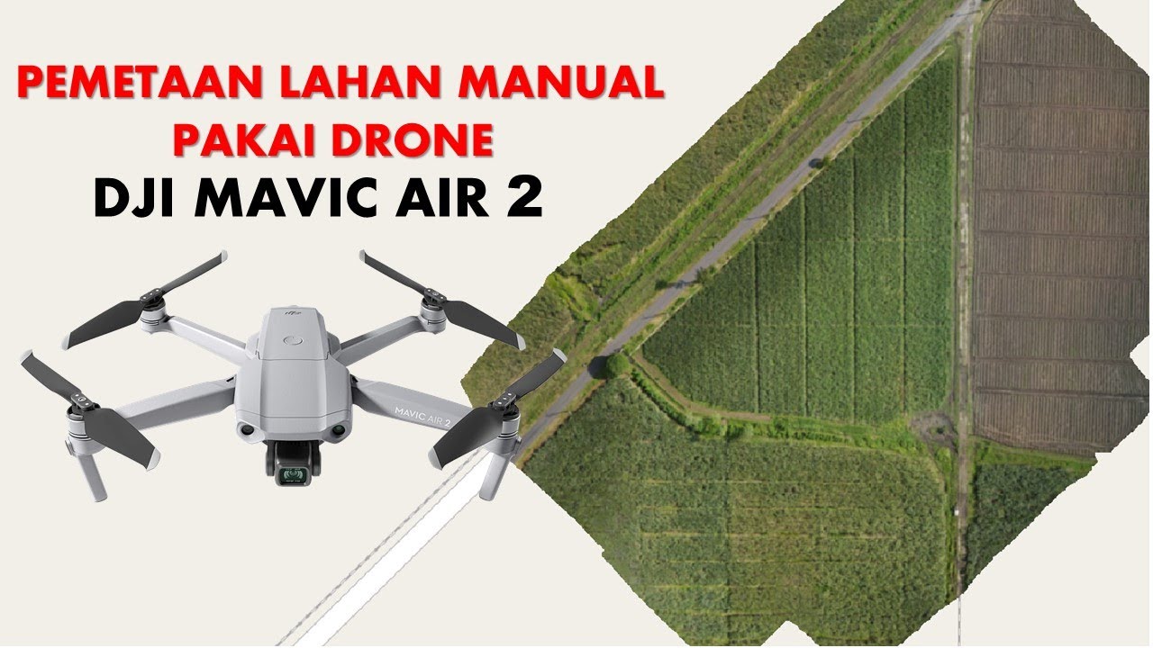
Cara Mapping Lahan dengan Drone MANUAL tanpa aplikasi MAPPING

What Is LiDAR and how does LiDAR work?
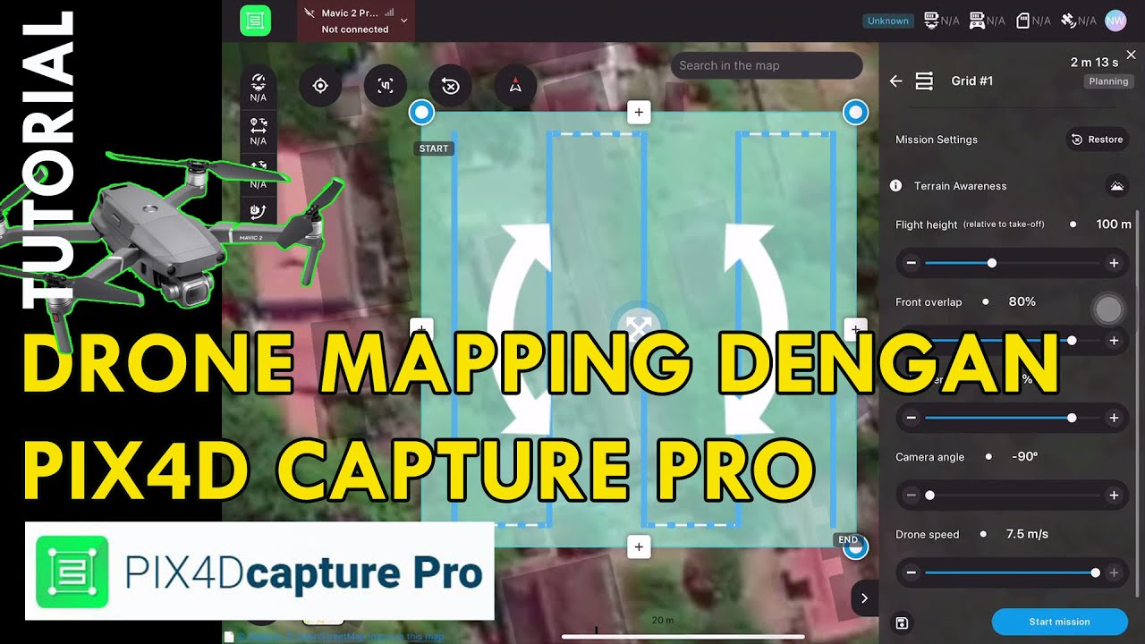
Tutorial Drone Mapping Dengan Pix4DCapture Pro

The Digital Twin of Dubai | GIS Center Dubai | Dubai Municipality
5.0 / 5 (0 votes)
