Nine-Dash Line Explained
Summary
TLDRThe video explores the controversial 'nine-dash line' (originally the '11-dash line') that China uses to justify its territorial claims in the South China Sea, particularly against the Philippines. The video delves into the historical context of the line, its origins after World War II, and China's opportunistic territorial claims. The legitimacy of these claims is questioned, especially given international laws like the United Nations Convention on the Law of the Sea (UNCLOS), which do not recognize China's assertions. The ongoing tension in the region is highlighted, with a focus on China's expansionist actions and the lack of absolute enforcement against such claims.
Takeaways
- 🌏 The South China Sea is a hotspot of tension, particularly between the Philippines and China, due to territorial disputes over the West Philippine Sea.
- 📜 China's claim over this area is based on the controversial 'n-h line,' also known as the 'nine-dash line,' which they argue justifies their territorial claims.
- 🗺️ The 'nine-dash line' originally started as an 'eleven-dash line' in a 1947 map published by the Republic of China, but was later reduced to nine dashes by Mao Zedong in 1952 to improve relations with North Vietnam.
- ⚓ The origin of China's claims is traced back to historical events, including the Sino-French War and Japan's defeat in World War II, during which China opportunistically expanded its territorial claims.
- 🌊 Internationally, China's claims are not widely recognized. The United Nations Convention on the Law of the Sea (UNCLOS) does not honor China's 'nine-dash line,' and a 2016 arbitral tribunal ruling declared China's historic claims over these waters invalid.
- 🇵🇭 Despite the Philippines having legal backing, they lack the military strength to enforce their territorial claims against China, which has even constructed artificial islands in the disputed area.
- ⚖️ The script highlights the lack of a universally enforceable rule in the South China Sea, leading to ongoing confusion and unresolved territorial disputes.
- 🗣️ Several countries, including the US, Canada, and Australia, have expressed support for the Philippines and criticized China's territorial ambitions in the region.
- 🚩 In 2023, China further escalated tensions by introducing a new 'standard map' with a tenth dash line near Taiwan, raising concerns over their territorial ambitions.
- 🤝 The script emphasizes the need for an absolute international rule that even powerful countries like China must follow to resolve the ongoing territorial disputes in the South China Sea.
Q & A
What is the significance of the NH line in China's territorial claims?
-The NH line, also known as the Nine-Dash Line, is a demarcation used by China to claim vast areas of the South China Sea, including parts within the Philippines' Exclusive Economic Zone (EEZ). It represents China's historical and territorial ambitions, though it is not recognized by international law.
How did the NH line originate?
-The NH line originated from an 11-dash line map published by the Republic of China in 1947, after the defeat of Japan in World War II. The line was later reduced to nine dashes by the People's Republic of China in 1952 as a gesture to North Vietnam.
Why is the NH line controversial in the South China Sea disputes?
-The NH line is controversial because it overlaps with the EEZs of several Southeast Asian countries, including the Philippines, Vietnam, and Malaysia. This has led to ongoing disputes over sovereignty, fishing rights, and access to resources in the region.
What is the international community's stance on the NH line?
-The international community, including the United States, Canada, Australia, and several Southeast Asian nations, does not recognize the NH line. The United Nations Convention on the Law of the Sea (UNCLOS) also does not honor China's claims based on this line.
How has China responded to international criticism of the NH line?
-China has rejected international criticism and continues to assert its claims over the South China Sea, even adding a tenth dash in a 2023 map to include Taiwan. China maintains that the NH line represents its historic rights, despite international rulings against it.
What was the ruling of the 2016 arbitral tribunal regarding the South China Sea disputes?
-In 2016, an arbitral tribunal concluded that China's claims of historic rights over the South China Sea had no legal basis where they exceeded the terms of UNCLOS. The tribunal ruled that China had not exercised exclusive control over the waters and resources.
Why is the NH line not recognized under international law?
-The NH line is not recognized under international law because it lacks a basis in UNCLOS, which defines a country's maritime rights based on its EEZ. The NH line extends far beyond China's EEZ, infringing on the maritime zones of other nations.
How has China physically reinforced its claims in the South China Sea?
-China has reinforced its claims by building artificial islands and military installations in the South China Sea, particularly in disputed areas like the Spratly Islands. These actions have escalated tensions with other claimant nations.
What is the impact of the NH line on regional security?
-The NH line has significantly impacted regional security, leading to heightened tensions and militarization in the South China Sea. The ongoing disputes have strained relations between China and its neighbors, as well as between China and other global powers.
What potential solutions exist to resolve the South China Sea disputes?
-A potential solution would require a binding international agreement that clearly defines maritime boundaries and enforces compliance with UNCLOS. However, the lack of an absolute rule that even powerful nations must follow makes resolution difficult.
Outlines

This section is available to paid users only. Please upgrade to access this part.
Upgrade NowMindmap

This section is available to paid users only. Please upgrade to access this part.
Upgrade NowKeywords

This section is available to paid users only. Please upgrade to access this part.
Upgrade NowHighlights

This section is available to paid users only. Please upgrade to access this part.
Upgrade NowTranscripts

This section is available to paid users only. Please upgrade to access this part.
Upgrade NowBrowse More Related Video
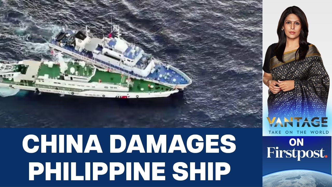
More Chinese Aggression: Philippine Ships Attacked with Water Cannons | Vantage with Palki Sharma
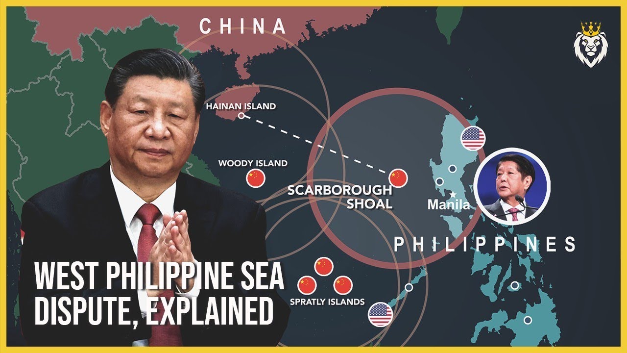
The West Philippine Sea Dispute, Explained

Week Ten: An Introduction to the Nine-Dash Line
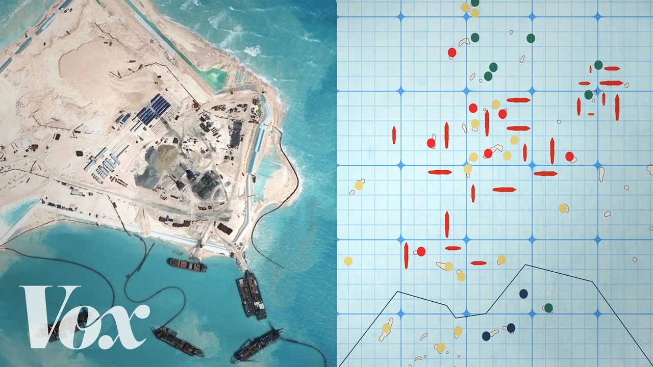
Why China is building islands in the South China Sea

Who owns the South China Sea? | CNBC Explains

SENGKETA PULAU NATUNA
5.0 / 5 (0 votes)