[สังคม] เครื่องมือทางภูมิศาสตร์ แผนที่ ดาวเทียม GPS
Summary
TLDRIn this educational video, the host introduces geographical tools used to collect, record, and analyze geographical data. The discussion covers various types of tools, such as maps, remote sensing equipment, and satellite imagery, explaining their practical uses. Topics include the differences between physical and thematic maps, aerial photography, and satellite imagery. The video also explains GIS (Geographic Information Systems) and GPS technology, which are used for urban planning, agriculture, and navigation. The session wraps up by discussing weather instruments like thermometers and barometers, all essential for studying Earth's natural phenomena.
Takeaways
- 😀 Geographic tools are essential for collecting, recording, and analyzing geographical data, helping us understand natural phenomena and their impacts.
- 😀 Maps are a major geographical tool, divided into two types: topographic maps showing terrain features and specific maps focusing on one topic, such as population or weather.
- 😀 The essential elements of a map include its name, scale, boundaries, symbols, and direction (usually showing north).
- 😀 Maps can be used in daily life for navigation, research, education, and strategic planning.
- 😀 Remote sensing tools, such as aerial photography and satellite imagery, help collect geographical data without direct contact with the subject, useful for urban planning, agriculture, and resource management.
- 😀 Aerial photographs, taken from aircraft or balloons, provide detailed images useful for city planning and agriculture.
- 😀 Satellite imagery allows for broader geographic coverage and is used for weather forecasting and disaster management.
- 😀 The first satellite, Sputnik, was launched by the Soviet Union, with notable satellites like NOAA for weather forecasting and MOS for water surface monitoring.
- 😀 Geographic Information Systems (GIS) use computers to store, analyze, and display geographical data, supporting urban planning, agriculture, and other sectors.
- 😀 GPS (Global Positioning System) helps determine locations on Earth and is used in navigation, tracking, and location-based services.
- 😀 Weather-related geographic tools include barometers (for air pressure), thermometers (for temperature), and anemometers (for wind speed), all of which aid in weather observation and forecasting.
Q & A
What is the main purpose of geographical tools?
-Geographical tools are used to collect, record, and analyze geographic data, helping us understand natural phenomena and assess their impacts.
What are the two main types of maps mentioned in the script?
-The two main types of maps are physical maps (showing natural features like mountains, rivers, etc.) and thematic maps (focused on specific information like population, weather, or tourism).
What are the key components of a map?
-The key components of a map include the map name, scale, boundary (latitude and longitude), symbols, and direction indicator (usually showing the north direction).
How is a physical map different from a thematic map?
-A physical map shows natural landforms and human-made structures like roads and cities, whereas a thematic map focuses on a specific topic, such as population density or weather patterns.
What is remote sensing, and how is it used?
-Remote sensing refers to the use of instruments that do not directly contact the object being studied. It typically uses electromagnetic waves, such as satellite images and aerial photography, to gather data on land, weather, or resources.
What is the difference between aerial photographs and satellite images?
-Aerial photographs are taken from aircraft or balloons, while satellite images are captured by satellites from space, covering much larger areas and offering different data processing methods.
What is GIS, and what is its primary function?
-GIS, or Geographic Information System, uses computer systems to collect, store, analyze, and display geographical data. It is widely used for urban planning, land management, and agriculture.
How does GPS function, and what are its main uses?
-GPS, or Global Positioning System, works by using satellites that send signals to receivers on Earth. It is used for navigation, location tracking, and determining geographic coordinates.
What are the key components of the GPS system?
-The GPS system has three main components: space (satellites), control (ground stations), and user (GPS receivers).
What instruments are used to measure weather conditions, as mentioned in the script?
-The instruments used for measuring weather conditions include barometers (for air pressure), thermometers (for temperature), hygrometers (for humidity), anemometers (for wind speed), and rain gauges (for precipitation).
Outlines

This section is available to paid users only. Please upgrade to access this part.
Upgrade NowMindmap

This section is available to paid users only. Please upgrade to access this part.
Upgrade NowKeywords

This section is available to paid users only. Please upgrade to access this part.
Upgrade NowHighlights

This section is available to paid users only. Please upgrade to access this part.
Upgrade NowTranscripts

This section is available to paid users only. Please upgrade to access this part.
Upgrade NowBrowse More Related Video

Geo X. 51. Langkah-langkah Penelitian Geografi.

01 - Introdução ao Geoprocessamento
RANGKUMAN METERI GEOGRAFI KELAS X SMA SEMESTER 1 KURIKULUM MERDEKA

Penelitian Geografi - Materi Geografi kelas 10 - Penjelasan Lengkap dan Mendalam - Jago UTBK
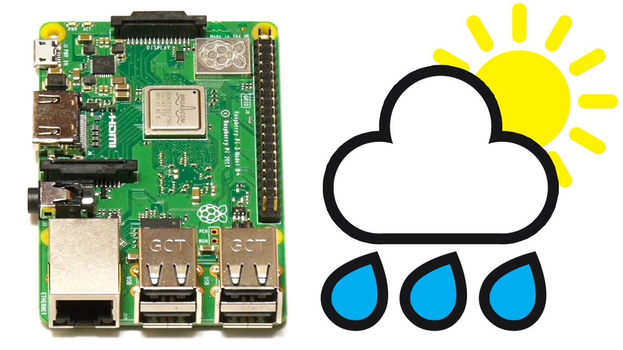
Raspberry Pi Weather Station

Top 100 Geography MCQs for all Competitive Exams | GK/GS 10 Minute Show by Namu Mam | SSC GD
5.0 / 5 (0 votes)