Latitudes || World Geography || Handwritten notes || Lec.21 || An Aspirant !
Summary
TLDRIn this educational video, the concept of latitude is explained in detail, highlighting its importance in determining geographical locations on Earth. The presenter introduces the system of imaginary lines, such as the Equator, which represents 0° latitude, and various important latitudes like the Tropics of Cancer and Capricorn, the Arctic and Antarctic Circles, and the North and South Poles. The video emphasizes the role of latitudes in dividing the Earth into hemispheres and how they help us understand the Earth's structure. The lesson encourages viewers to take notes for a better grasp of the subject.
Takeaways
- 😀 Latitude and longitude are coordinate systems used to find the exact location of a place on Earth.
- 😀 Latitude lines run horizontally (east to west) on Earth, while longitude lines run vertically (north to south).
- 😀 The equator represents 0° latitude and divides the Earth into two hemispheres: the Northern Hemisphere and the Southern Hemisphere.
- 😀 Important latitudes include the Tropic of Cancer (23.5°N), Arctic Circle (66.5°N), Tropic of Capricorn (23.5°S), and Antarctic Circle (66.5°S).
- 😀 The Earth has a total of 181 latitudes, including the equator (0° latitude).
- 😀 Latitudes are parallel to each other and are equidistant, with a distance of 111 km between each parallel.
- 😀 The Earth’s shape is spherical, meaning the size of latitudinal circles decreases as you move toward the poles.
- 😀 The equator is the largest latitudinal circle and divides the Earth into two equal halves.
- 😀 The distance between two latitudes on the Earth's surface is constant and is approximately 111 km.
- 😀 Regular revision of latitude concepts will help retain the knowledge and improve understanding of Earth's geography.
Q & A
What are latitudes and how are they useful?
-Latitudes are imaginary horizontal lines drawn across the Earth, running from east to west. They help us determine the north-south position of a location on the Earth's surface and are essential for the coordinate system used in geography and navigation.
What is the significance of the equator in the context of latitudes?
-The equator is the most important latitude line, located at 0° latitude. It divides the Earth into the Northern and Southern Hemispheres and represents the starting point for measuring other latitudes.
How do the Tropic of Cancer and Tropic of Capricorn differ in terms of latitude?
-The Tropic of Cancer is located at 23.5° North, while the Tropic of Capricorn is at 23.5° South. Both mark the northernmost and southernmost points where the Sun can be directly overhead at noon.
What is the distance between two consecutive latitudes?
-The distance between two consecutive latitudes is approximately 111 kilometers. This distance remains consistent across the Earth and is used for geographical measurements.
Why are latitudes important for understanding Earth's geography?
-Latitudes help us divide the Earth into various geographical zones, such as the Northern and Southern Hemispheres, the tropics, and the polar regions. They also play a key role in understanding climate, time zones, and navigation.
What are the latitudes that define the polar regions?
-The polar regions are defined by the Arctic Circle at 66.5° North and the Antarctic Circle at 66.5° South. Beyond these latitudes, the Earth experiences extreme seasonal variations in daylight.
How are latitudes and longitudes used together to determine a location?
-Latitudes (north-south) and longitudes (east-west) form a coordinate system. By knowing both a latitude and a longitude, we can pinpoint the exact location of any place on Earth.
What is the role of latitudes in timekeeping?
-While latitudes help in determining the geographical location, longitudes are primarily used to define time zones. The Earth's rotation relative to these lines allows us to calculate the time in different regions.
How are the size and distance between latitudes affected as you move from the equator to the poles?
-At the equator, latitudes form the largest circles on Earth. As you move toward the poles, the size of these circles decreases, with the smallest circles occurring at the poles themselves.
What does the term 'parallels of latitude' refer to?
-'Parallels of latitude' refers to the lines of latitude, which are parallel to each other and run east to west across the Earth. They help in defining the Earth's geographic zones and measuring distances across the globe.
Outlines

This section is available to paid users only. Please upgrade to access this part.
Upgrade NowMindmap

This section is available to paid users only. Please upgrade to access this part.
Upgrade NowKeywords

This section is available to paid users only. Please upgrade to access this part.
Upgrade NowHighlights

This section is available to paid users only. Please upgrade to access this part.
Upgrade NowTranscripts

This section is available to paid users only. Please upgrade to access this part.
Upgrade NowBrowse More Related Video
NCERT Class 6 Geography | Chapter 2 : Globe - Latitudes and Longitudes - Part 1
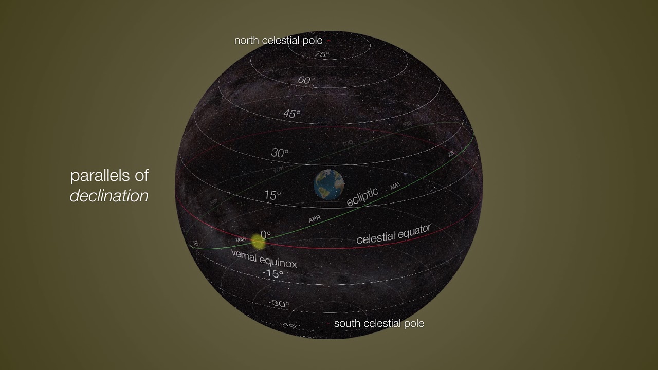
Equatorial Coordinate System Explained: How Astronomers Navigate the Celestial Sphere

Geographic Grid : Latitudes and Longitudes ICSE Class 9 | @sirtarunrupani
07 - Encontrando o seu lugar na Terra - Geografia - Ens. Fund. - Telecurso

GEO XI. 7. Flora Fauna di Indonesia dan Dunia (Bioma).
Urutan Lapisan Matahari dari yang Terdalam Hingga Terluar
5.0 / 5 (0 votes)