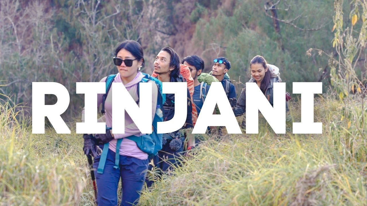
10 MENIT SAMPE PUNCAK RINJANI !!! TERBANG KE PUNCAK GUNUNG RINJANI VIA KANDANG SAPI
Summary
TLDRIn this video, Andrea Ramadan embarks on a challenging journey to summit Mount Rinjani in Lombok. Armed with a drone and GoPro, he navigates the treacherous trails, documenting the rugged terrain and the ascent to the peak. Along the way, Andrea shares insights into the demanding nature of the hike, the beautiful yet harsh environment, and the critical importance of safety. Despite encountering technical issues and battery concerns, he successfully reaches the summit, capturing stunning views. The video showcases not only the physical challenge but also the beauty of Indonesia’s nature.
Takeaways
- 😀 The speaker, Andrea Ramadan, is in Lombok, Indonesia, at the base of Mount Rinjani, preparing for a drone flight to explore the hiking path to the summit.
- 😀 The speaker uses a Rajawali Volt 7 drone equipped with a GoPro 10, aiming to capture the journey from the base (Kandang Sapi) to the summit via a legendary hiking route called 'Letter E.'
- 😀 The hike to the summit of Mount Rinjani is known for being challenging, with some routes like 'Letter E' being particularly tough and requiring strong mental preparation.
- 😀 The speaker highlights the physical challenge of the journey, including the long distances and steep ascents, as well as the importance of mental endurance for hikers.
- 😀 The drone is used to capture footage from above, but issues like bad signal quality and battery life are noted as challenges during the journey.
- 😀 The speaker discusses the availability of amenities along the trail, such as rest stops and water sources, which are crucial for hikers attempting the route.
- 😀 The hiking journey involves several waypoints, including multiple positions (Pos 1, Pos 2, Pos 3, and Pos 4), each representing a significant part of the climb.
- 😀 The speaker emphasizes the importance of safety when flying drones, particularly in remote or challenging environments like Mount Rinjani, and the goal to complete the mission without risking drone damage.
- 😀 The hike's difficulty increases as the speaker approaches the summit, particularly due to strong winds and physical exhaustion, yet the motivation to reach the top remains strong.
- 😀 Upon reaching the summit, the speaker briefly enjoys the view, reflecting on the immense effort it took to get there, before prioritizing the safe return of the drone and completing the mission.
- 😀 The speaker concludes with gratitude and a reminder of the importance of careful preparation, mental toughness, and safety in both hiking and drone flying, while hinting at future explorations across Indonesia.
Q & A
What is the main goal of the drone flight in this video?
-The main goal is to explore and document the hiking route from Kandang Sapi to the summit of Mount Rinjani, focusing on the challenges of the terrain and the drone's performance during the flight.
What equipment is being used for the drone flight?
-The drone being used is a Rajawali Volt 7, equipped with a GoPro 10 and a 6S 2P battery. The drone is controlled with a TBS Tango 2 remote and uses DJI Integra for stabilization.
What challenges did the drone face during the flight?
-The drone experienced issues with its signal, causing it to not reach its destination on the first attempt. The remote control also malfunctioned, causing the drone to veer off course at times.
How difficult is the terrain for hikers on the way to the summit of Mount Rinjani?
-The terrain is very challenging, with some sections like the 'Letter E' being particularly tough. It involves steep ascents that are physically demanding, making it a mentally and physically strenuous hike.
How does the hiker manage to overcome the physical difficulties of the hike?
-The hiker maintains a steady pace, takes brief rests for hydration, and pushes through the tough parts, relying on determination and mental preparation to manage the demanding ascent.
What is the significance of the 'Letter E' route mentioned in the video?
-The 'Letter E' route is notorious for its extreme difficulty. It is a steep and grueling part of the climb that many hikers struggle with, and it's a key challenge on the way to the summit.
What was the condition of the drone’s battery during the flight?
-The drone's battery was closely monitored, with the hiker being cautious not to deplete it too much. The battery dropped to a critical level (around 3.2V), prompting the decision to return to ensure a safe landing.
What are the estimated distances between key points on the hiking route?
-From Kandang Sapi to Pos 1, it is about 2.6 km, from Pos 1 to Pos 2 is approximately 3.6 km, and from Pos 2 to Pos 3 is another 4.7 km. The total hike to the summit involves considerable elevation and distance.
What is the general advice for hikers preparing to summit Mount Rinjani?
-Hikers are advised to prepare both mentally and physically well in advance, ideally a month before the hike. It's important to be ready for the challenging terrain and to plan for energy conservation, particularly on sections like the 'Letter E'.
What was the hiker’s attitude towards safety during the drone flight and hike?
-The hiker prioritized safety above all else. Despite the desire to capture footage and explore, the hiker ensured that the drone's battery and signal strength were carefully managed, and if conditions were unsafe, the hiker was willing to turn back.
Outlines

This section is available to paid users only. Please upgrade to access this part.
Upgrade NowMindmap

This section is available to paid users only. Please upgrade to access this part.
Upgrade NowKeywords

This section is available to paid users only. Please upgrade to access this part.
Upgrade NowHighlights

This section is available to paid users only. Please upgrade to access this part.
Upgrade NowTranscripts

This section is available to paid users only. Please upgrade to access this part.
Upgrade NowBrowse More Related Video
Gunung Rinjani #1 | Beda Orang Beda Persiapan Pendakian

LEGENDA GUNUNG RINJANI ~ Cerita Rakyat Nusa tenggara Barat | Dongeng Kita
We Climbed ACTIVE Volcano! Hiking Rinjani 3726M | Sembalun to Torean

MISTERI POS 2 PINTU SENARU GUNUNG RINJANI

The perfect 2 week Lombok Itinerary (Lombok Travel Guide)
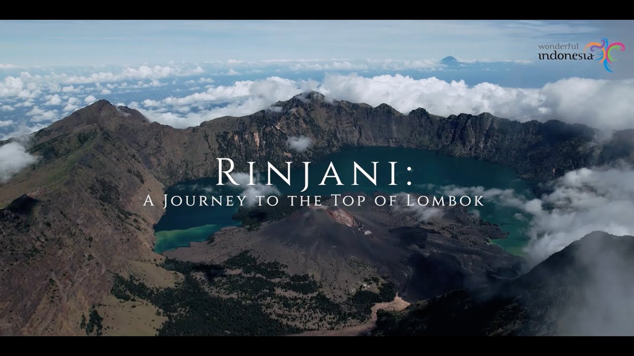
Travel Hunt 2024 | Rinjani - A Journey To The Top of Lombok
5.0 / 5 (0 votes)