Gunung Semeru Lumajang Erupsi, BPBD Imbau Penambang Pasir Jauhi Letusan | Kabar Petang tvOne
Summary
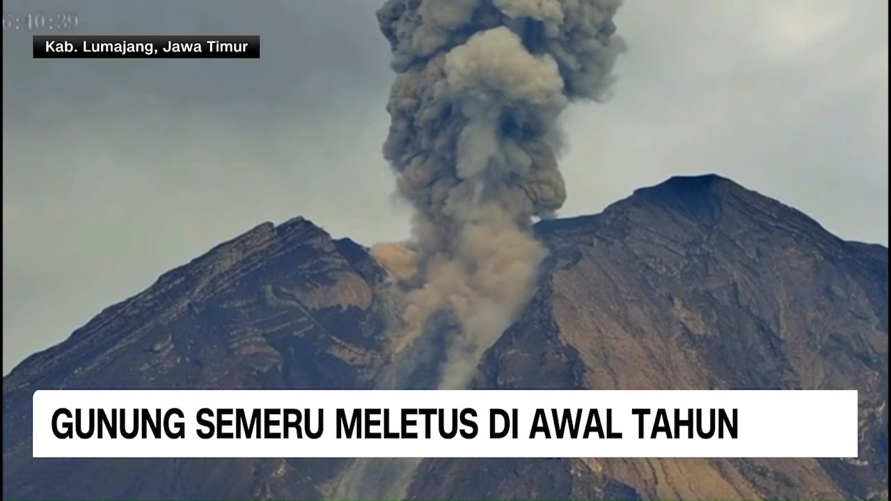
TLDRMount Semeru in Lumajang, East Java, erupted again on Tuesday morning, with two explosive eruptions sending ash columns as high as 700 meters above the crater summit. The eruptions, captured by BPBD Lumajang's CCTV, prompted local authorities to issue warnings, particularly for sand miners in the area. The eruptions directed ash to the northeast and southwest. The PVMBG also recommended maintaining a safety radius of 13 km from the summit, especially along the Besuk Kobokan river, emphasizing caution for local miners and nearby residents.
Takeaways
- 🌋 Semeru volcano in Lumajang, East Java erupted again on Tuesday morning.
- 🌬️ The eruption produced an ash column up to 700 meters above the crater's summit.
- 🎥 The eruption was captured on CCTV cameras installed by BPBD (Regional Disaster Management Agency).
- ⏱️ The eruption occurred twice, with ash columns reaching between 500 to 700 meters in height.
- 🌍 The ash column spread towards the northeast and southwest directions.
- ⚠️ BPBD issued a warning urging increased vigilance, especially among local sand miners.
- ⛑️ Local residents and sand miners were advised to stay alert and take necessary precautions.
- 🛑 The Volcanology and Geological Disaster Mitigation Center (PVMBG) emphasized the importance of safety within a 13 km radius of the crater.
- 🌊 The area around the Besuk Kobokan River and its tributaries is considered a danger zone.
- 🧑🚒 Authorities continue to monitor the situation closely, ensuring public safety and issuing further warnings if needed.
Q & A
What triggered the news report?
-The news report was triggered by a recent eruption of Gunung Semeru in Lumajang, East Java, which occurred on Tuesday morning.
How many eruptions occurred at Gunung Semeru on Tuesday morning?
-There were two eruptions at Gunung Semeru on Tuesday morning, both of which generated significant ash columns.
What was the height of the ash columns during the eruptions?
-The height of the ash columns reached between 500 and 700 meters above the summit of Gunung Semeru.
In which direction did the ash columns from the eruptions drift?
-The ash columns from the eruptions drifted towards the northeast and southwest.
What did the BPBD (Local Disaster Mitigation Agency) advise regarding the eruptions?
-The BPBD advised local miners, particularly those near the affected areas, to be more vigilant and cautious due to the ongoing eruption activity.
What other precautionary measures were recommended by local authorities?
-PVMBG (Volcanology and Geological Disaster Mitigation Center) recommended that people stay within a safe radius of 13 km from the summit, particularly in areas near the Besuk Kobokan River and along its course.
Why were local miners specifically warned during the eruption?
-Local miners were specifically warned because they often work near the eruption zone, which could pose a danger to their safety during volcanic activity.
What role does the BPBD play in response to the eruption?
-The BPBD plays a crucial role in monitoring the eruption, issuing warnings to the public, and ensuring the safety of those living near the affected areas.
What are the potential risks to local communities around the volcano?
-The main risks include ash fallout, lava flows, and possible mudflows, which could endanger the lives of residents and miners in the affected areas.
How did the eruption get documented during the event?
-The eruption was documented through CCTV cameras set up by BPBD Lumajang, which captured the eruption's ash columns and allowed authorities to track the eruption's impact.
Outlines

This section is available to paid users only. Please upgrade to access this part.
Upgrade NowMindmap

This section is available to paid users only. Please upgrade to access this part.
Upgrade NowKeywords

This section is available to paid users only. Please upgrade to access this part.
Upgrade NowHighlights

This section is available to paid users only. Please upgrade to access this part.
Upgrade NowTranscripts

This section is available to paid users only. Please upgrade to access this part.
Upgrade NowBrowse More Related Video

Gunung Semeru kembali Alami Erupsi | Kabar Siang tvOne
Gunung Semeru Meletus di Awal Tahun
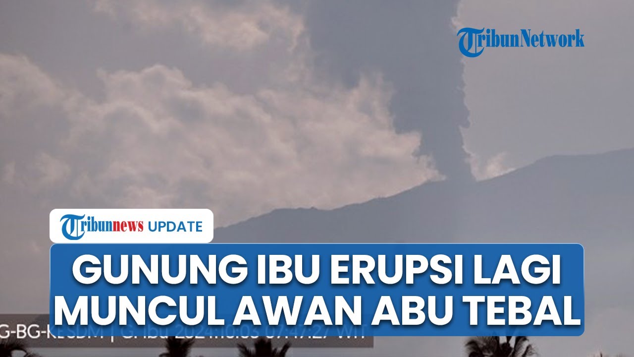
Gunung Ibu di Maluku Utara Erupsi Berkali-kali, Kolom Abu Tebal Muncul Tingginya Capai 1 KM

Kondisi Terkini Pasca Gempa Magnitudo 4,9 Guncang Bali dan Gunung Ibu Kembali Erupsi

Petugas Dibantu Warga Terus Berjibaku Evakuasi Korban Erupsi Gunung Semeru #iNewsMalam 11/12

Bromo Tengger Semeru
5.0 / 5 (0 votes)